Umpqua Hot Springs
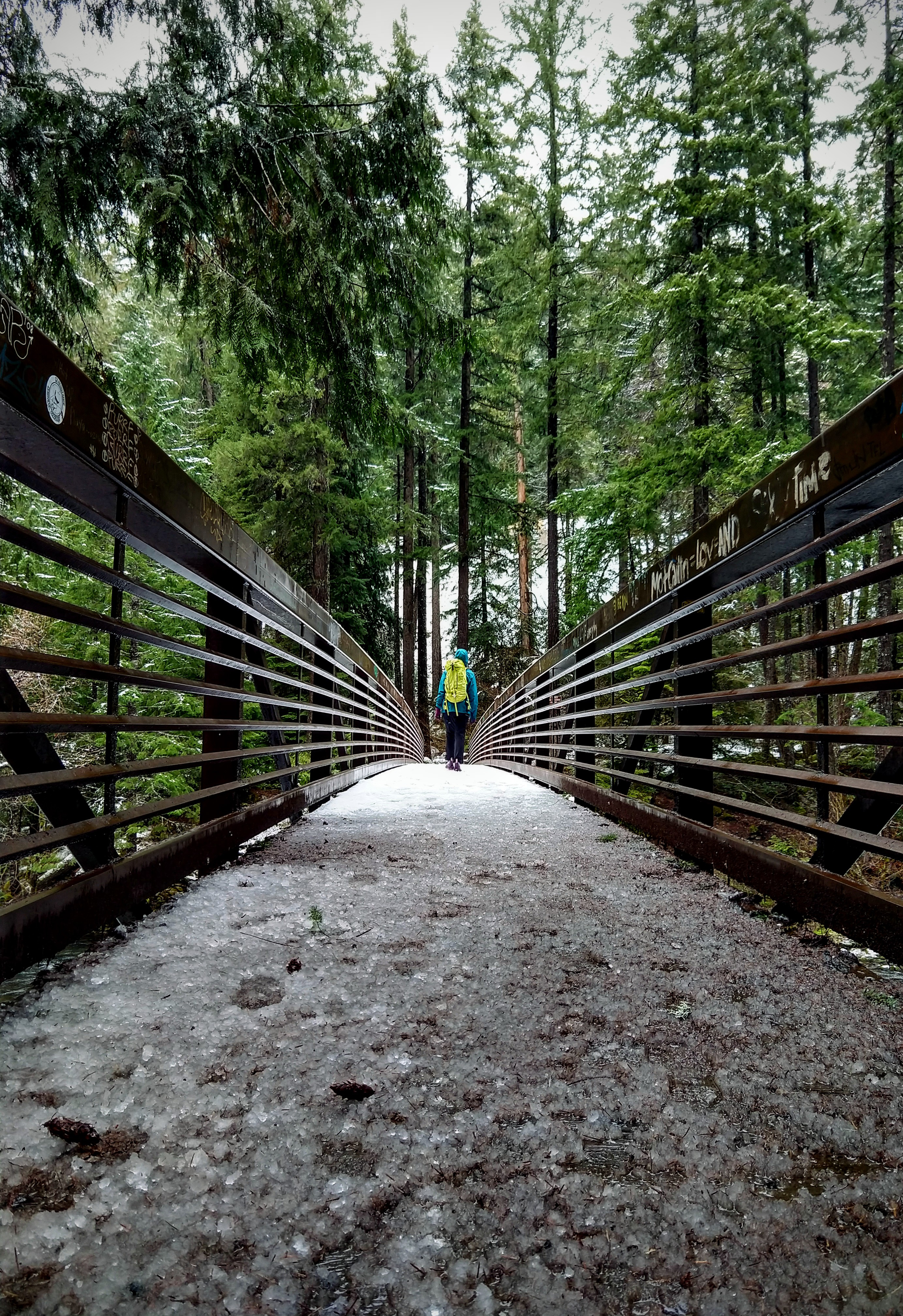
Umpqua Hot Springs is a group of hot springs above the North Umpqua River in the Umpqua National Forest. Hot mineral water comes out of several sources and forms a series of pools that people soak in. The source temperature on file is hot, above what most people would sit in without letting it cool. Access is open. Oakridge, the nearest town listed, is about thirty miles off.
Forest Road 3401 is the nearest road, and the springs are a few hundred feet from it on foot. The elevation is around twenty-six hundred feet on the wet side of the Cascades, with over fifty inches of precipitation a year and deep winter snow, well over a hundred inches. The land is Forest Service, designated National Forest.
Winter months are flagged as best on file, which given the snowfall means checking road conditions before you go. Toketee Group Site is the nearest camping listed, about two and a half miles away. The water is hot enough to test before getting in. No fee is on record. OpenStreetMap tags it as a hot spring.
Wikipedia describes the Umpqua Hot Springs as a group of geothermal springs along the North Umpqua River at about 2,640 feet, where hot mineral water emerges from several sources to form cascading pools. Eight pools are available for soaking, the larger with a solid rock bottom and the smaller with coarse sand bottoms.
USGS hasn't flown a detailed laser scan here yet, so this view comes from aerial photos and older elevation data.
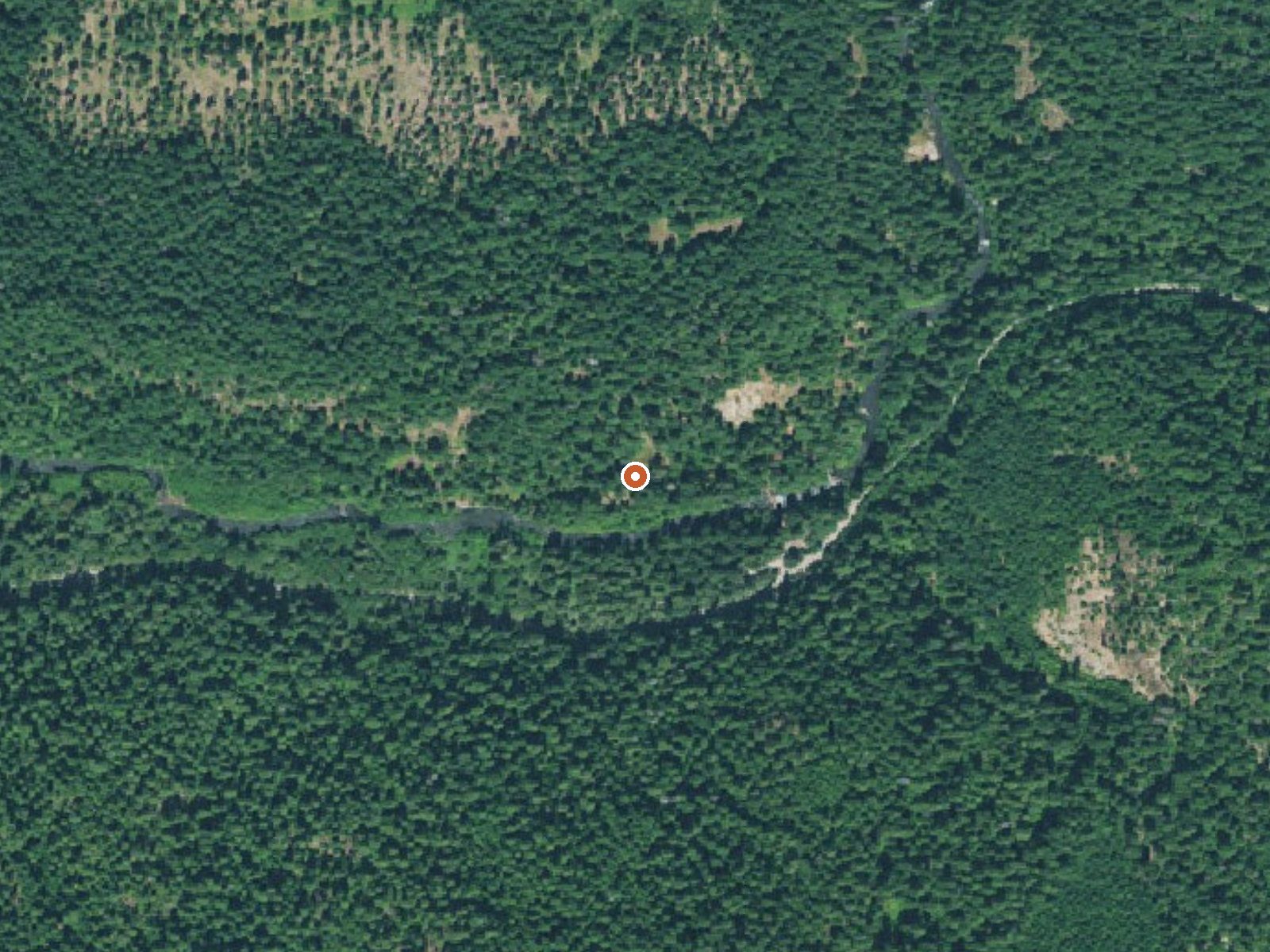
The orange dot marks the spring, in a frame about three quarters of a mile wide.
- Setting
- Canyon floor
- Steep ground climbs away on both sides of the spring.
- Highest ground nearby
- 652 ft above the spring
- Within a quarter mile, to the south
A slice through the ground from north to south, about 0.6 miles end to end.
Elevation data: USGS 3D Elevation Program. Aerial imagery: USGS The National Map. Public domain.
That's about 1½ times the US average of 65. It's higher than at 48% of the springs on this site.
Heat flow measures the warmth working its way up through the ground from deep inside the earth. Where it runs high, rain and snowmelt that seep down through cracks in the rock come back up hot.
See every spring on the geothermal heat map →
Heat flow estimate: Stanford Thermal Earth Model (Aljubran & Horne, 2024), CC BY 4.0.
Some links are affiliate links. We may earn a commission at no extra cost to you.
Overview The North Umpqua Wild and Scenic River pauses at Toketee reservoir providing a secure home for a wide variety of wildlife. Here beaver and otter make their homes. Visitors are sometimes treated to seeing and hearing the beaver's tail slaps. Great blue heron and kingfishers are joined in fall and winter by ducks, geese, and bald eagles.Recreation Many people enjoy some of the state’s best German Brown trout fishing. Due to ongoing dam repair Toketee Lake is 2-3 feet lower than the...
Umpqua Hot Springs is road-accessible, so you can bring more gear. The water runs hot, so extra hydration is key.





As an Amazon Associate, we earn from qualifying purchases.
Springs Near Umpqua Hot Springs
More Springs Around 117°F
Hike 6 waterfalls near Umpqua Hot Springs
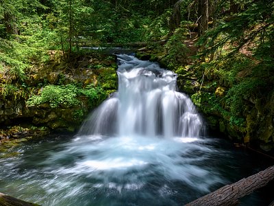
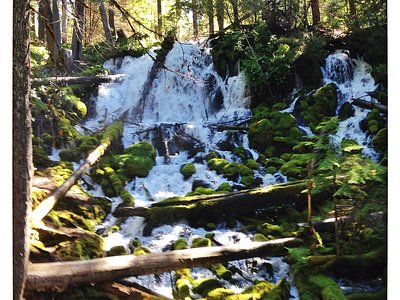
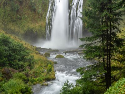
Looking for more outdoor adventures? Explore waterfall hikes near Umpqua Hot Springs, Oregon.