Annie Spring
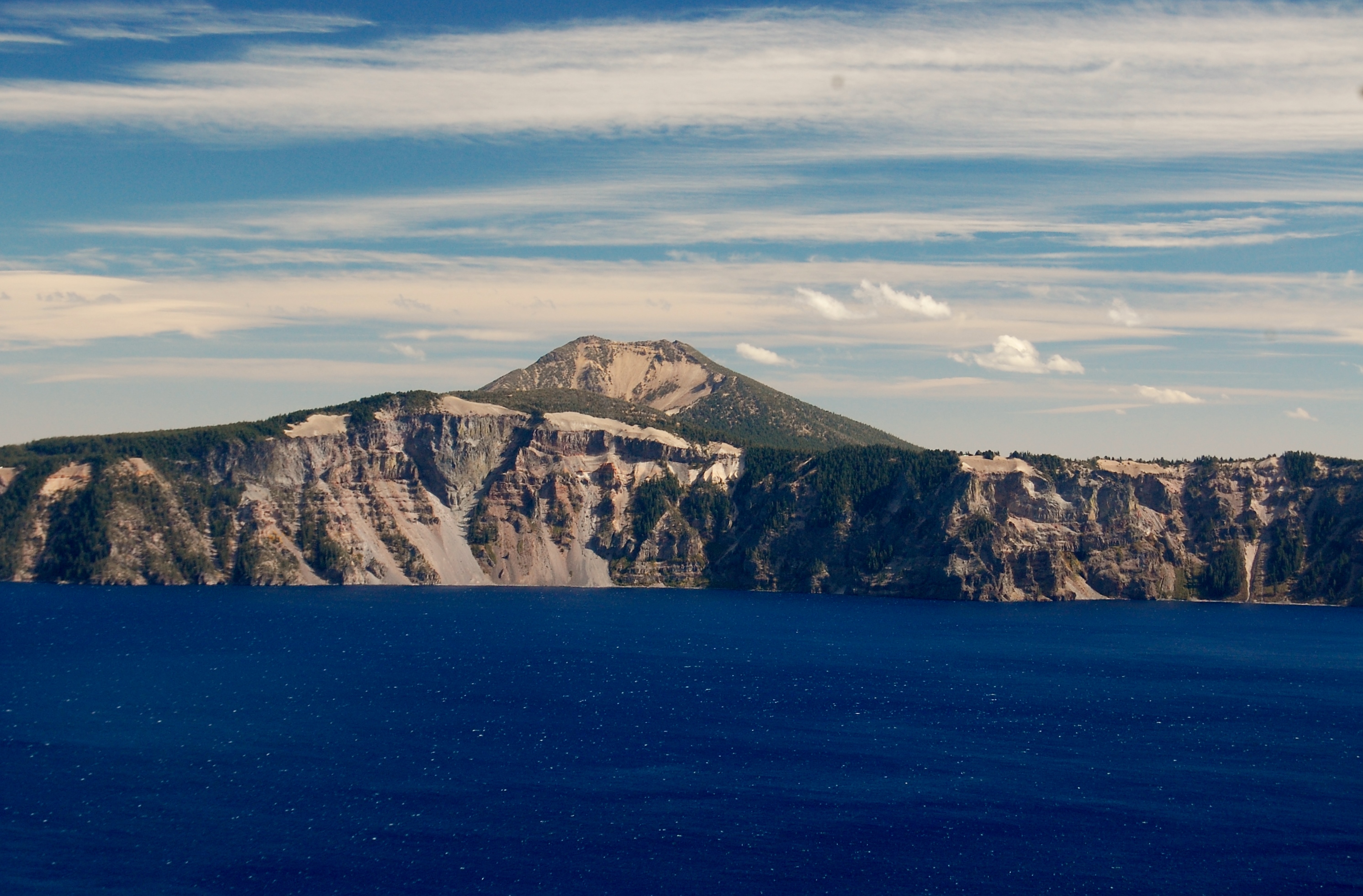
Annie Spring is a warm spring inside Crater Lake National Park, in Jackson County, Oregon, about 38 miles from Shady Cove. The water runs tepid. You would not want a bath in it. It sits on National Park Service land with access listed as open, and the USGS keeps a gauging station on it, which tells you the flow is steady enough to be worth measuring.
Munson Valley Road passes within a couple hundred yards, so the walk in is short. The park sits in high country, and this is some of the snowiest ground in the state, with winters that pile up well over two hundred inches. Wet in the other seasons too. The nearest campground on file is the Imnaha Guard Station, around fourteen miles off.
The best months listed are December through February, which is strange for a place that gets this much snow, and in those months the road itself is the question. Go when Munson Valley Road is open. Access is open and nothing is charged as far as the record shows. The temperature is a USGS reading, so check current conditions, and national park rules apply.
The USGS maintains a stream gauge on Annie Spring and records its discharge, a little under two cubic feet per second at last reading. That gauge is the most documented thing about the spring on file.
Aircraft with laser scanners measured this ground to within inches. The scan strips out trees and buildings, leaving the bare shape of the land around Annie Spring.
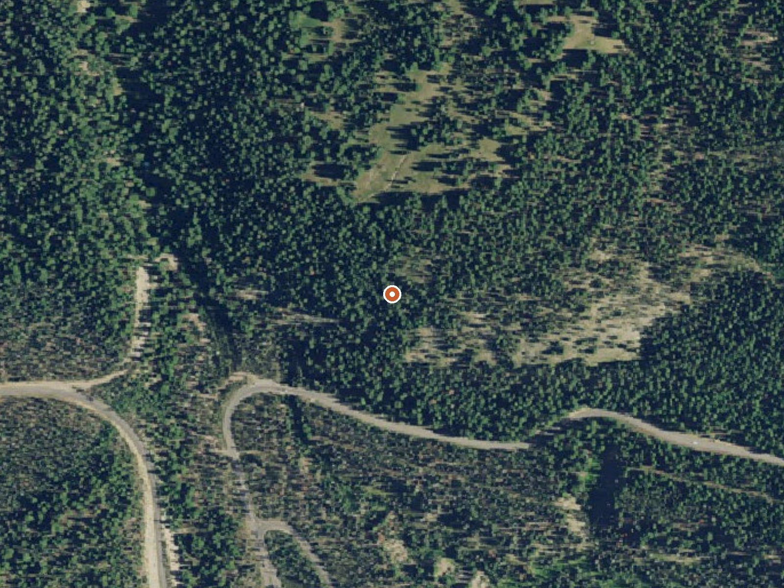
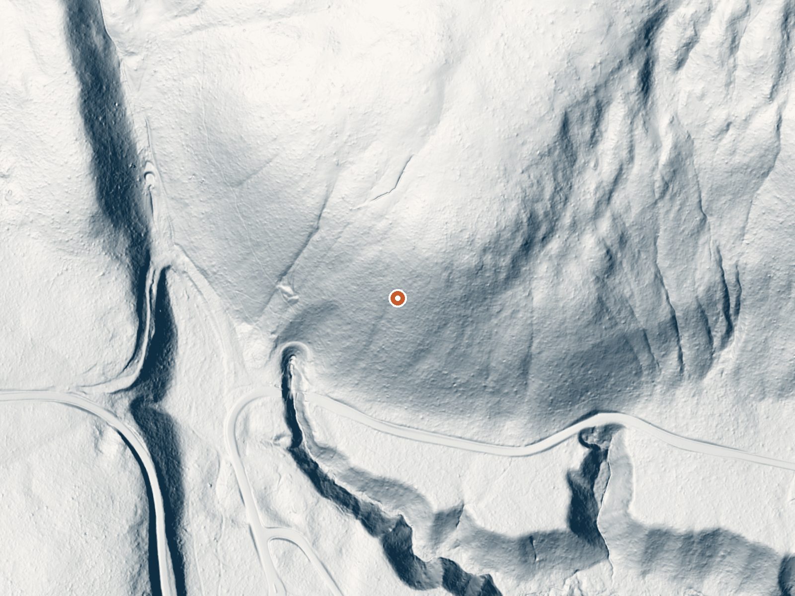
Drag the handle to compare the two views. The orange dot marks the spring, in a frame about three quarters of a mile wide.
- Setting
- Hillside
- The spring sits on a steep slope that climbs to the northeast.
- Highest ground nearby
- 239 ft above the spring
- Within a quarter mile, to the northeast
A slice through the ground from southwest to northeast, about 0.6 miles end to end.
Elevation data: USGS 3D Elevation Program. Aerial imagery: USGS The National Map. Public domain.
That's about twice the US average of 65. It's higher than at 76% of the springs on this site.
Heat flow measures the warmth working its way up through the ground from deep inside the earth. Where it runs high, rain and snowmelt that seep down through cracks in the rock come back up hot.
See every spring on the geothermal heat map →
Heat flow estimate: Stanford Thermal Earth Model (Aljubran & Horne, 2024), CC BY 4.0.
Some links are affiliate links. We may earn a commission at no extra cost to you.
Overview Imnaha Guard Station is located in the southwest portion of Oregon's Cascade Range, at an elevation of 3,800 feet. The facility offers a remote setting and most of the amenities needed for a comfortable stay. This cabin does not feature indoor lighting so guests will need to bring lanterns or flashlights. Recreation Hiking and Birdwatching are popular activities among guests visiting this cabin. Bird songs from nuthatches, chickadees, and Steller's jays are common at Imnaha Guard S...
Annie Spring sits at 5,983 feet above sea level, way above the mile-high mark. You may not feel the altitude strongly, but hot water still dehydrates you faster at elevation. UV is about 24% stronger than at sea level, so bring sunscreen and drink more water than you normally would.



As an Amazon Associate, we earn from qualifying purchases.
Annie Spring is road-accessible, so you can bring more gear. Cold air temperatures make a changing robe or warm layers essential.






As an Amazon Associate, we earn from qualifying purchases.
Springs Near Annie Spring
More Springs Around 77°F
Hike 6 waterfalls near Annie Spring
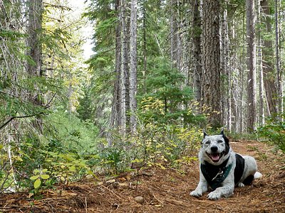
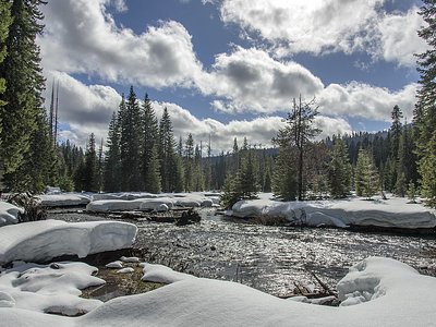
Looking for more outdoor adventures? Explore waterfall hikes near Annie Spring, Oregon.