Worswick Hot Springs
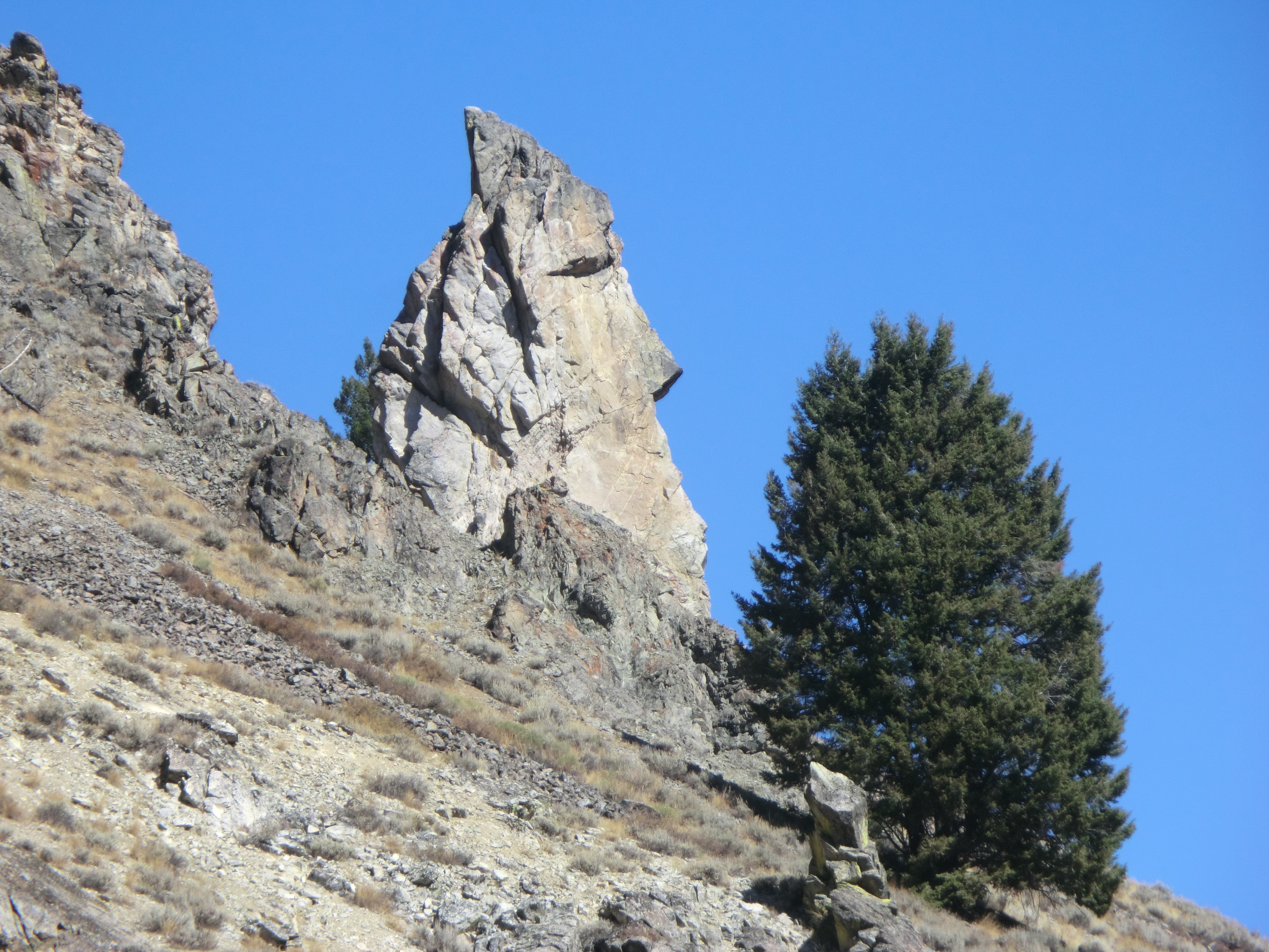
Worswick Hot Springs, in Camas County fifteen miles or so out of Fairfield, is one of the scalding ones. Source water comes out far too hot to touch. Open access is on file. The 1983 sample is strongly alkaline and lists magnesium, calcium, sodium, chloride and sulfate. Soaking, if it happens, happens in water that has cooled a long way from the vent, and the record does not describe where that is.
Carrie Creek Road stops roughly five hundred feet short, and the rest is a walk on Sawtooth National Forest ground. Six thousand feet, give or take. Snowfall clears a hundred inches in ordinary winters. Dry otherwise. No fee is on record.
Per the record, winter is the time, which means snow on Carrie Creek Road. Bowns Campground is five miles or so away. Scalding source: keep clear of where the water surfaces and test anything you plan to enter. The reading is from November 1983.
Aircraft with laser scanners measured this ground to within inches. The scan strips out trees and buildings, leaving the bare shape of the land around Worswick Hot Springs.
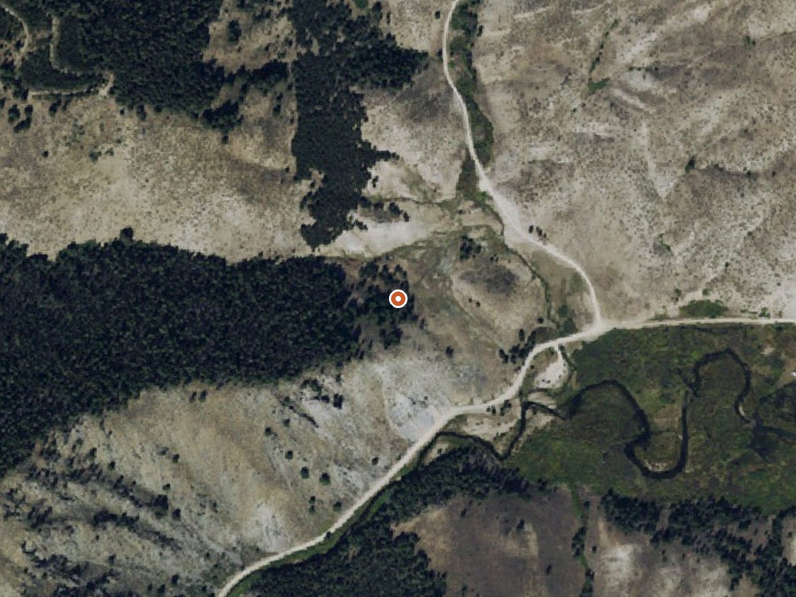
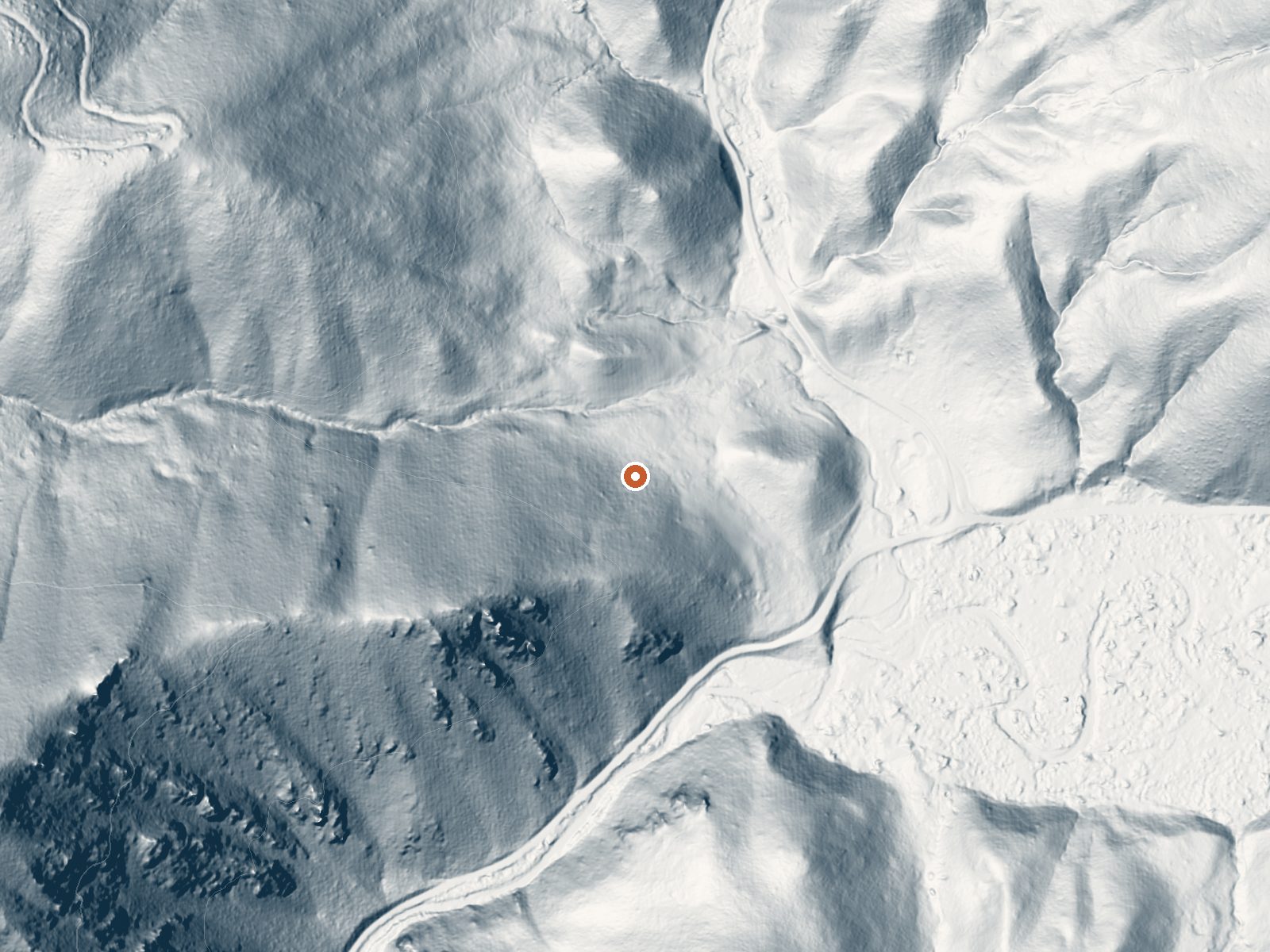
Drag the handle to compare the two views. The orange dot marks the spring, in a frame about three quarters of a mile wide.
- Setting
- Canyon floor
- Steep ground climbs away on both sides of the spring.
- Highest ground nearby
- 462 ft above the spring
- Within a quarter mile, to the west
A slice through the ground from south to north, about 0.6 miles end to end.
Elevation data: USGS 3D Elevation Program. Aerial imagery: USGS The National Map. Public domain.
That's about twice the US average of 65. It's higher than at 66% of the springs on this site.
Heat flow measures the warmth working its way up through the ground from deep inside the earth. Where it runs high, rain and snowmelt that seep down through cracks in the rock come back up hot.
See every spring on the geothermal heat map →
Heat flow estimate: Stanford Thermal Earth Model (Aljubran & Horne, 2024), CC BY 4.0.
The water at Worswick Hot Springs is alkaline (pH 9.0).
Some links are affiliate links. We may earn a commission at no extra cost to you.
Bowns Campground, located 25 miles east of Featherville and 18 miles north of Fairfield, is a developed campground composed of 10 units along Big Smoky Creek. Two of the camp sites are double family units. Camping, fishing, hiking, and picnicking are popular activities. Campground amenities include picnic tables, fire rings, drinking water (seasonally) and restrooms. Miller Creek Trail (#087) starts just south of the campground and is open to motorcycles.
Worswick Hot Springs sits at 6,100 feet above sea level, way above the mile-high mark. You may not feel the altitude strongly, but hot water still dehydrates you faster at elevation. UV is about 24% stronger than at sea level, so bring sunscreen and drink more water than you normally would.



As an Amazon Associate, we earn from qualifying purchases.
Worswick Hot Springs is road-accessible, so you can bring more gear. The water is dangerously hot, so bring water shoes and test pools carefully. Cold air temperatures make a changing robe or warm layers essential.





As an Amazon Associate, we earn from qualifying purchases.
Springs Near Worswick Hot Springs
More Springs Around 180°F
Alkaline Springs (pH ~9.0)
Hike 6 waterfalls near Worswick Hot Springs
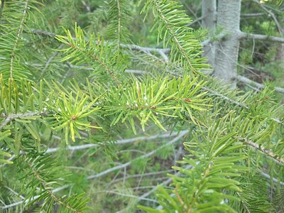
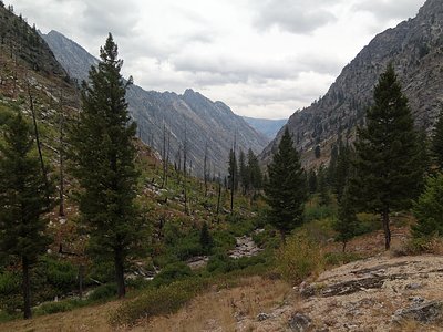
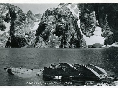
Looking for more outdoor adventures? Explore waterfall hikes near Worswick Hot Springs, Idaho.