Lightfoot Hot Springs
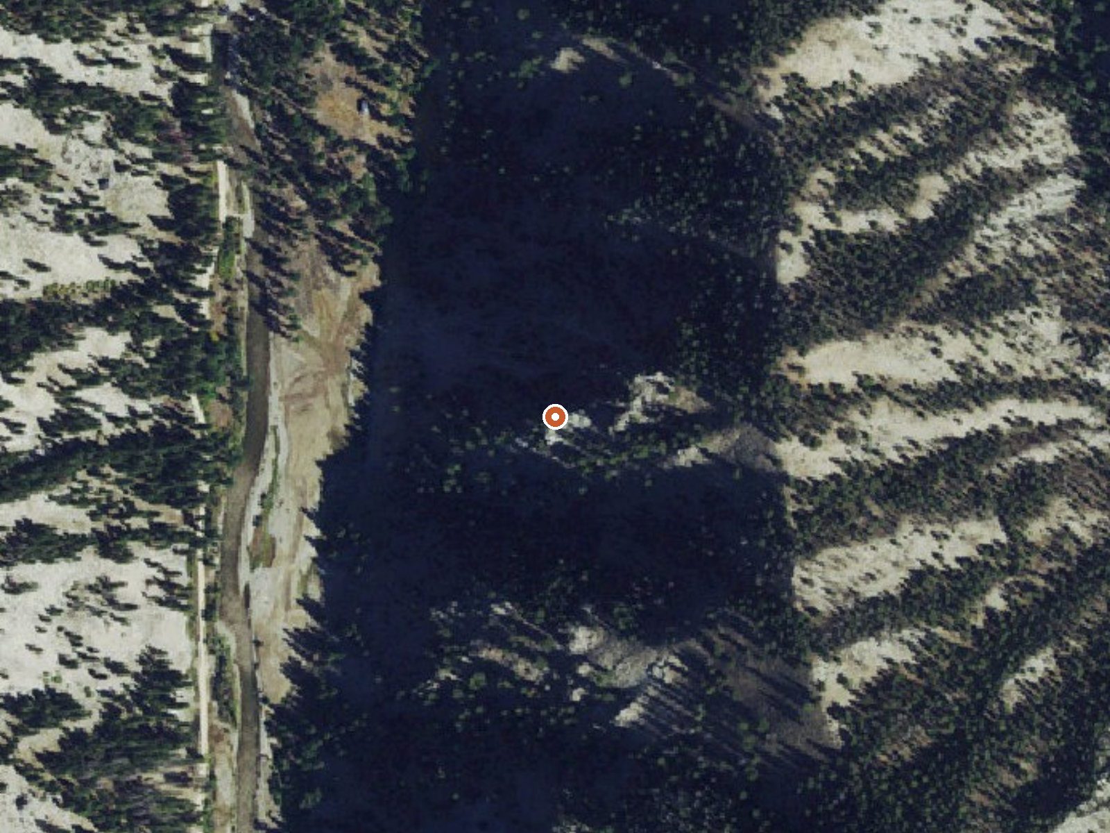
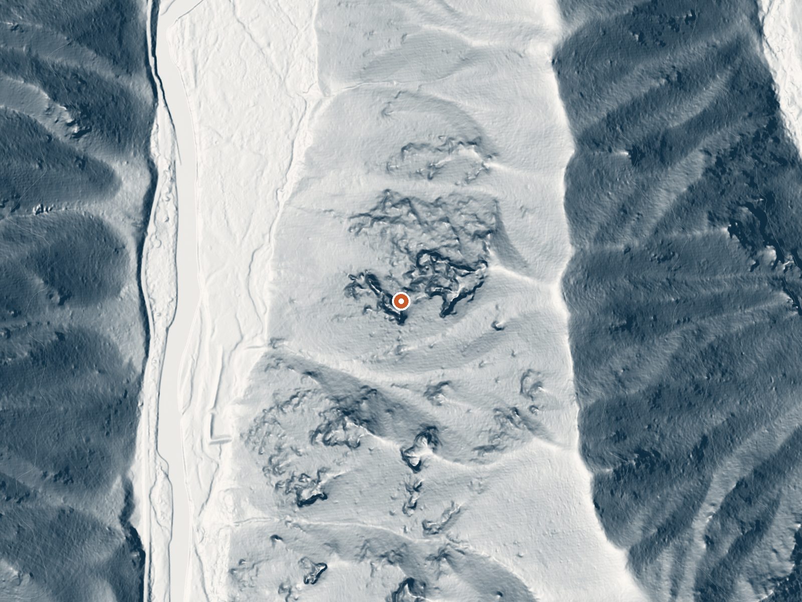
Drag the handle to compare the two views. The orange dot marks the spring, in a frame about three quarters of a mile wide.
Lightfoot Hot Springs is on the Sawtooth National Forest in Camas County, nineteen miles from Fairfield. Hot water, above the comfortable range. The USGS measured the flow at a hundredth of a cubic foot a second, which is tiny. Access is open and Bowns Campground is about three miles away.
Carrie Creek Road runs about 0.2 miles from the spring, so the approach is a short walk. Elevation is fifty-eight hundred feet, high enough for heavy snow, around eleven feet a year. Moderate precipitation otherwise. National Forest land, no other designation, with nothing stricter than ordinary Forest Service rules on record. Bowns Campground, three miles or so off, is the closest camping our records show.
Winter comes up as the dry season, with the usual caveat about snow at this elevation. Careless contact could scald; check the water first. No fee listed. The chemistry is from an October 1977 survey, and the flow measurement is from the same agency, so both are decades old.
Aircraft with laser scanners measured this ground to within inches. The scan strips out trees and buildings, leaving the bare shape of the land around Lightfoot Hot Springs.
- Setting
- Hillside
- The spring sits on a steep slope that climbs to the southeast.
- Highest ground nearby
- 523 ft above the spring
- Within a quarter mile, to the southeast
A slice through the ground from west to east, about 0.6 miles end to end.
Elevation data: USGS 3D Elevation Program. Aerial imagery: USGS The National Map. Public domain.
That's about twice the US average of 65. It's higher than at 87% of the springs on this site.
Heat flow measures the warmth working its way up through the ground from deep inside the earth. Where it runs high, rain and snowmelt that seep down through cracks in the rock come back up hot.
See every spring on the geothermal heat map →
Heat flow estimate: Stanford Thermal Earth Model (Aljubran & Horne, 2024), CC BY 4.0.
The water at Lightfoot Hot Springs is alkaline (pH 8.8).
Bowns Campground, located 25 miles east of Featherville and 18 miles north of Fairfield, is a developed campground composed of 10 units along Big Smoky Creek. Two of the camp sites are double family units. Camping, fishing, hiking, and picnicking are popular activities. Campground amenities include picnic tables, fire rings, drinking water (seasonally) and restrooms. Miller Creek Trail (#087) starts just south of the campground and is open to motorcycles.
Lightfoot Hot Springs sits at 5,802 feet above sea level, way above the mile-high mark. You may not feel the altitude strongly, but hot water still dehydrates you faster at elevation. UV is about 23% stronger than at sea level, so bring sunscreen and drink more water than you normally would.



As an Amazon Associate, we earn from qualifying purchases.
Springs Near Lightfoot Hot Springs
More Springs Around 133°F
Alkaline Springs (pH ~8.8)
Hike 6 waterfalls near Lightfoot Hot Springs
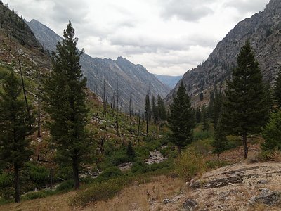
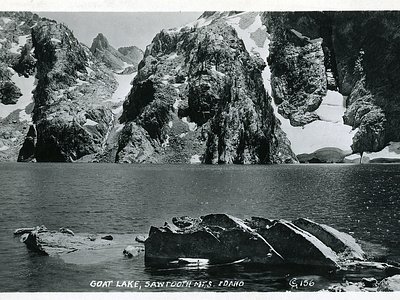
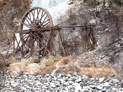
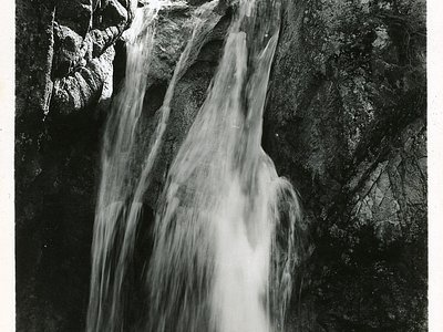
Looking for more outdoor adventures? Explore waterfall hikes near Lightfoot Hot Springs, Idaho.