Agua Caliente Spring
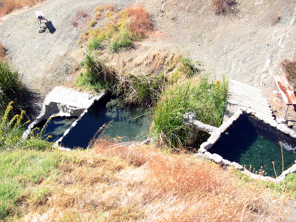
Agua Caliente Spring in Los Padres National Forest, Santa Barbara County, runs hot enough to hurt with any real contact, well past bath temperature. Toro Canyon is the nearest town listed, about seven miles. Forest Service land, open access.
Roughly 2,400 feet up in the Los Padres, where rain totals about fifteen inches and snow is a trace. About a thousand feet on foot from a nameless road. National forest, no fee recorded. Upper Oso Campground is about eleven miles away, and the mean temperature for the year is around sixty.
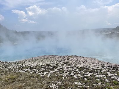
Winter is the listed season. The water is the hazard here: at 133 it will burn, so test before touching and never get in without knowing the water has cooled. Short walk. Camping at Upper Oso, eleven miles. No chemistry on file. A photo exists, and Toro Canyon is the only town recorded nearby.
Wikipedia files the site as Big Caliente Hot Springs, several thermal mineral springs together in the Los Padres National Forest.
Aircraft with laser scanners measured this ground to within inches. The scan strips out trees and buildings, leaving the bare shape of the land around Agua Caliente Spring.
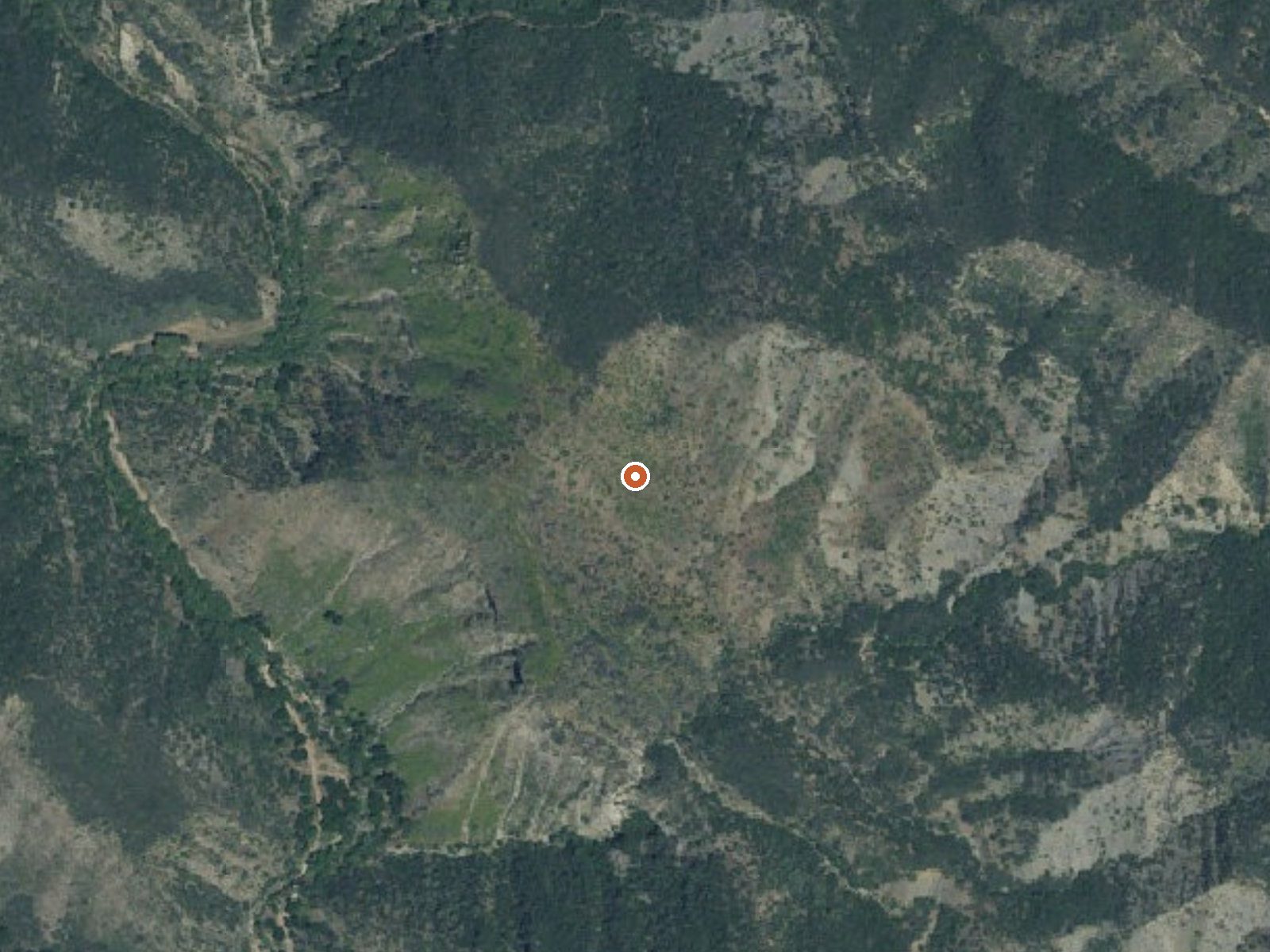
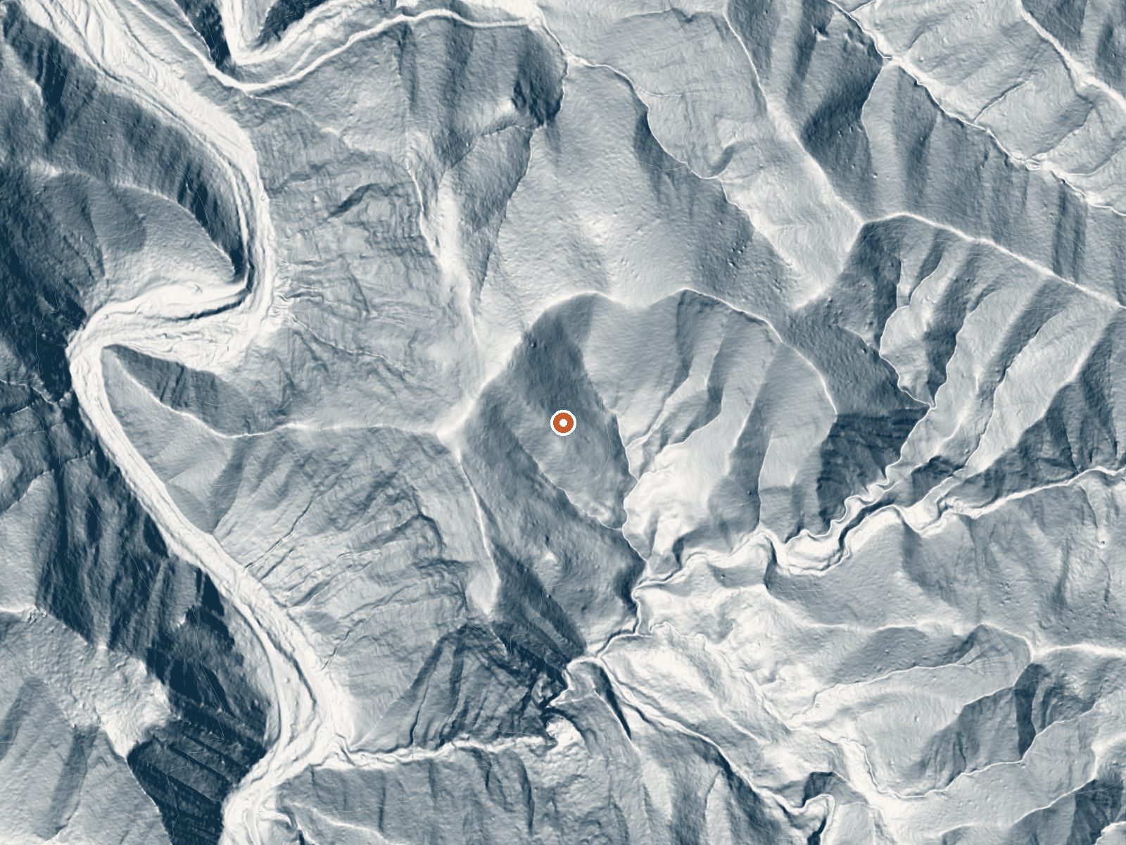
Drag the handle to compare the two views. The orange dot marks the spring, in a frame about three quarters of a mile wide.
- Setting
- Hillside
- The spring sits on a steep slope that climbs to the northeast.
- Highest ground nearby
- 232 ft above the spring
- Within a quarter mile, to the northeast
A slice through the ground from northwest to southeast, about 0.6 miles end to end.
Elevation data: USGS 3D Elevation Program. Aerial imagery: USGS The National Map. Public domain.
That's close to the US average of 65. It's higher than at 2% of the springs on this site.
Heat flow measures the warmth working its way up through the ground from deep inside the earth. Where it runs high, rain and snowmelt that seep down through cracks in the rock come back up hot.
See every spring on the geothermal heat map →
Heat flow estimate: Stanford Thermal Earth Model (Aljubran & Horne, 2024), CC BY 4.0.
Some links are affiliate links. We may earn a commission at no extra cost to you.
Overview Upper Oso Campground provides ample opportunity for exploration of California's coastal mountains. It is a family-friendly campground, equipped with equestrian sites, and is close to a variety of trails and several mountain streams.Recreation A variety of hiking, mountain biking and horseback riding trails begin in and around the campground, including the Santa Cruz Trail, which traverses 18 miles north to the San Rafael Wilderness. The 2.5-mile Aliso National Recreation Trail leads...
Agua Caliente Spring is road-accessible, so you can bring more gear. The water runs hot, so extra hydration is key.




As an Amazon Associate, we earn from qualifying purchases.
Springs Near Agua Caliente Spring
More Springs Around 133°F
Hike 6 waterfalls near Agua Caliente Spring
Looking for more outdoor adventures? Explore waterfall hikes near Agua Caliente Spring, California.