Wild Horse Hot Springs
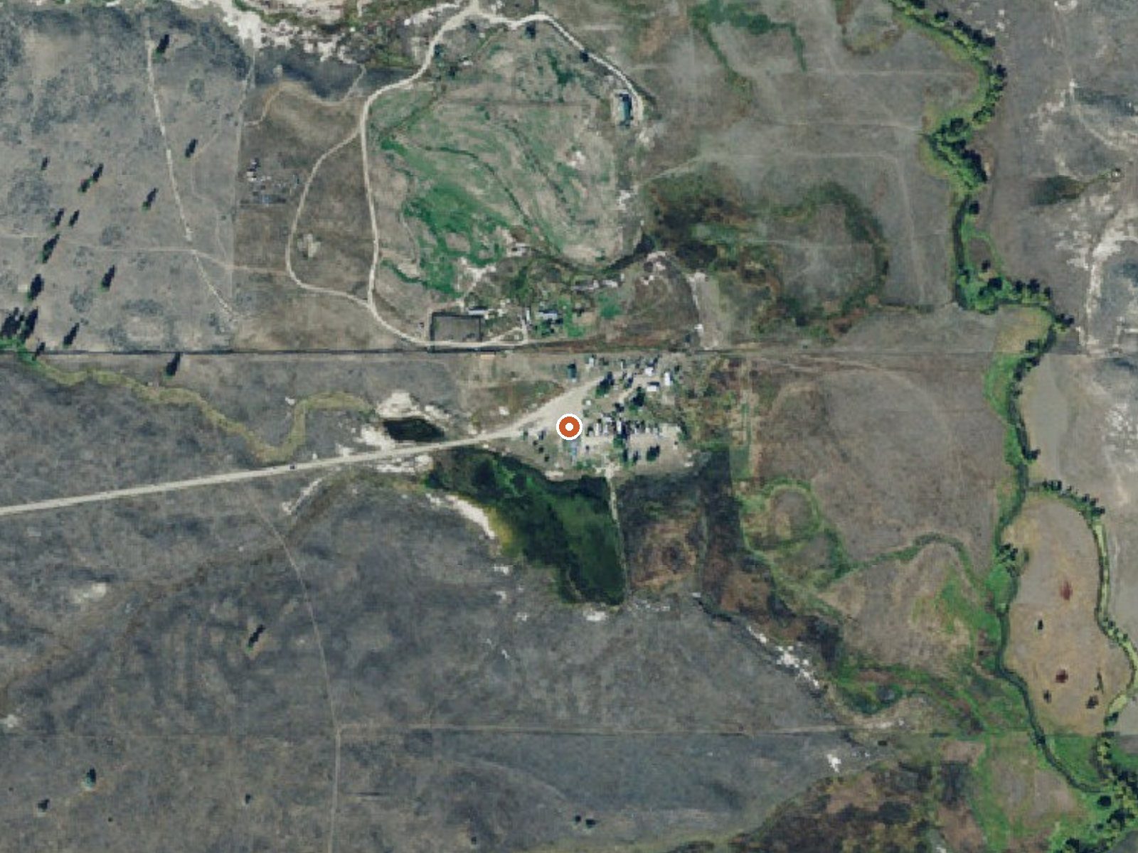
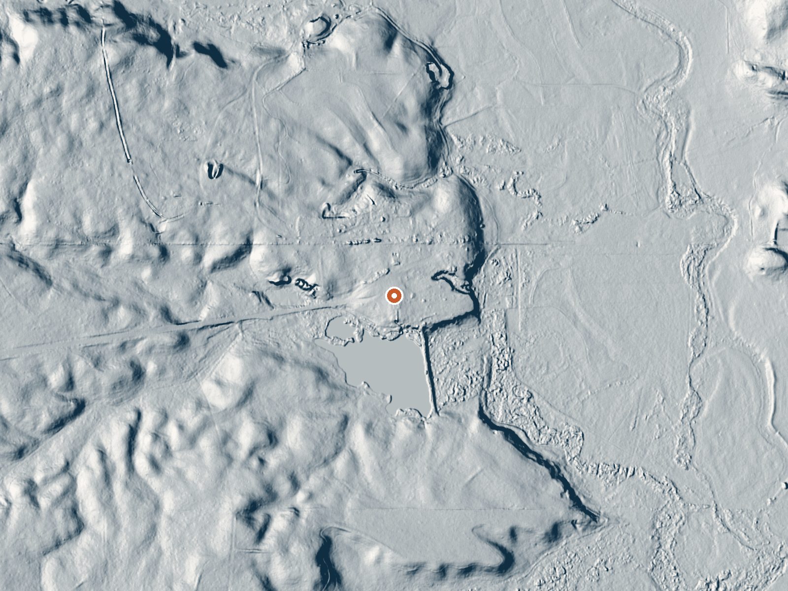
Drag the handle to compare the two views. The orange dot marks the spring, in a frame about three quarters of a mile wide.
On the Flathead Reservation in Sanders County, Montana, nineteen miles from Plains, Wild Horse Hot Springs is a developed spring. The row has no measured temperature, so do not take the word hot as a promise. Access on this tribal land is recorded as unknown. Wikipedia describes private plunges and little else.
Roadside, some forty feet from the nearest road. Low ground, for Montana. Snow is moderate, around four and a half feet, with moderate precipitation across the year. Big Hole Lookout, the nearest camping listed, is over twenty miles away. Wikipedia puts the site in Lake County, two and a half miles outside the town of Hot Springs.
No season is listed. Tribal land with unknown access, so check before visiting. No fee is in the record. Camping is far. Nothing measures the water's heat today, so do not plan around a natural pool. The only structures mentioned anywhere are the private plunges on Wikipedia.
Wild Horse was developed in 1913 after a well driller struck hot water, 128 degrees by Wikipedia's account, and the place was originally called Camp Aqua Bath House. The article describes private plunges and little else. It places the springs in Lake County, two and a half miles out of the town of Hot Springs, which differs from the Sanders County listing here.
Aircraft with laser scanners measured this ground to within inches. The scan strips out trees and buildings, leaving the bare shape of the land around Wild Horse Hot Springs.
- Setting
- Open ground
- Flat, open ground all around.
- Highest ground nearby
- 20 ft above the spring
- Within a quarter mile, to the southwest
A slice through the ground from northwest to southeast, about 0.6 miles end to end.
Elevation data: USGS 3D Elevation Program. Aerial imagery: USGS The National Map. Public domain.
That's about 1½ times the US average of 65. It's higher than at 64% of the springs on this site.
Heat flow measures the warmth working its way up through the ground from deep inside the earth. Where it runs high, rain and snowmelt that seep down through cracks in the rock come back up hot.
See every spring on the geothermal heat map →
Heat flow estimate: Stanford Thermal Earth Model (Aljubran & Horne, 2024), CC BY 4.0.
Some links are affiliate links. We may earn a commission at no extra cost to you.
Overview The Big Hole Lookout offers guests an opportunity to experience an old-time Forest Service lookout. The tower commands an impressive 360 degree view of valleys and mountain ranges for miles and miles. The structure is small and is not elevated like many other lookouts, and is available for rent from June to early October each year. 2021 is the first year the lookout will be available to the public to rent. We are excited to offer this new, unique opportunity on the Plains/Thompson...
Wild Horse Hot Springs is road-accessible, so you can bring more gear.






As an Amazon Associate, we earn from qualifying purchases.
Springs Near Wild Horse Hot Springs
Hike 6 waterfalls near Wild Horse Hot Springs
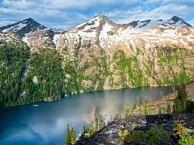

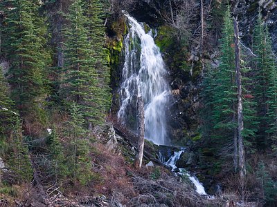
Looking for more outdoor adventures? Explore waterfall hikes near Wild Horse Hot Springs, Montana.