Horseshoe Ranch Springs
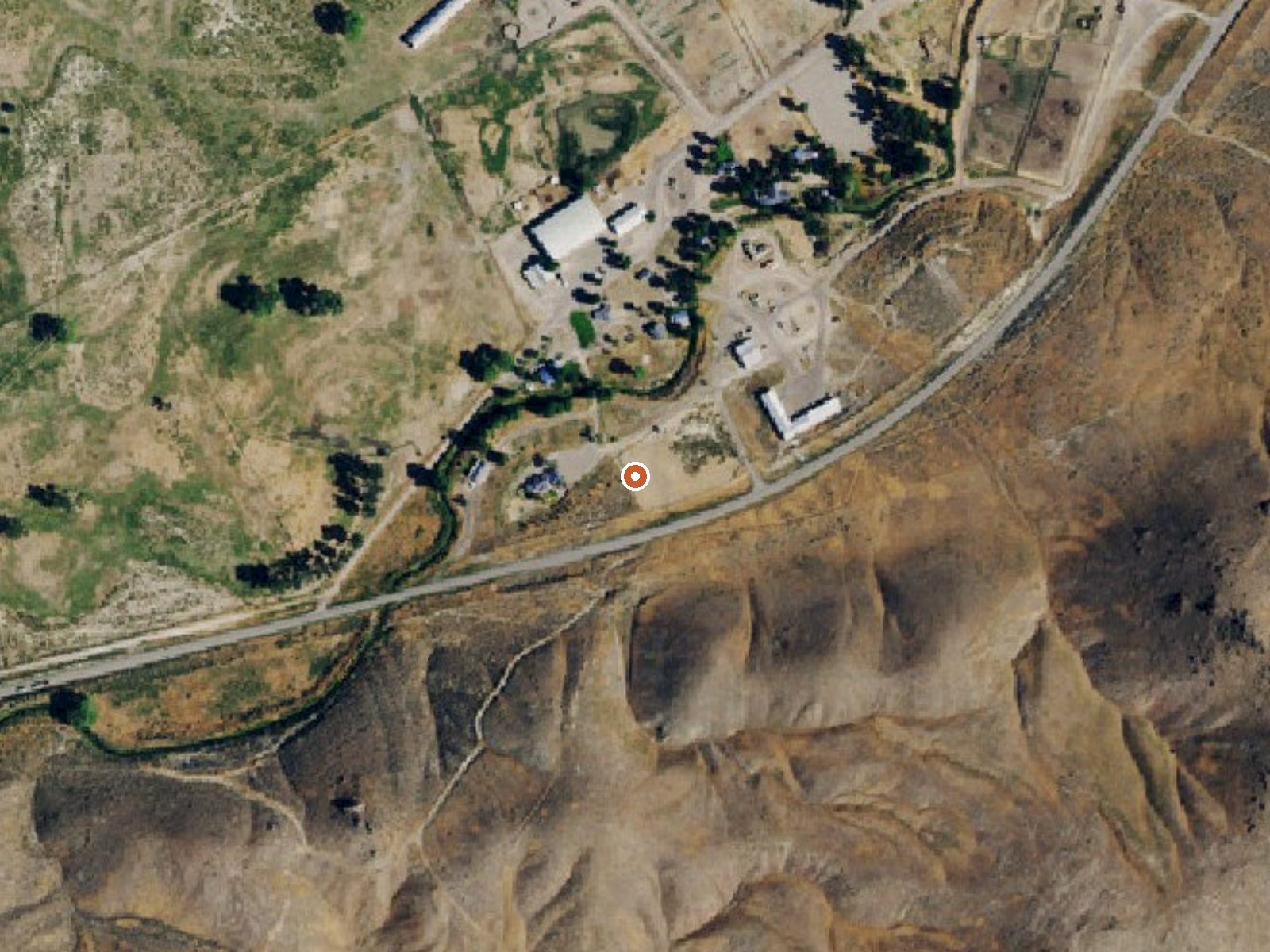
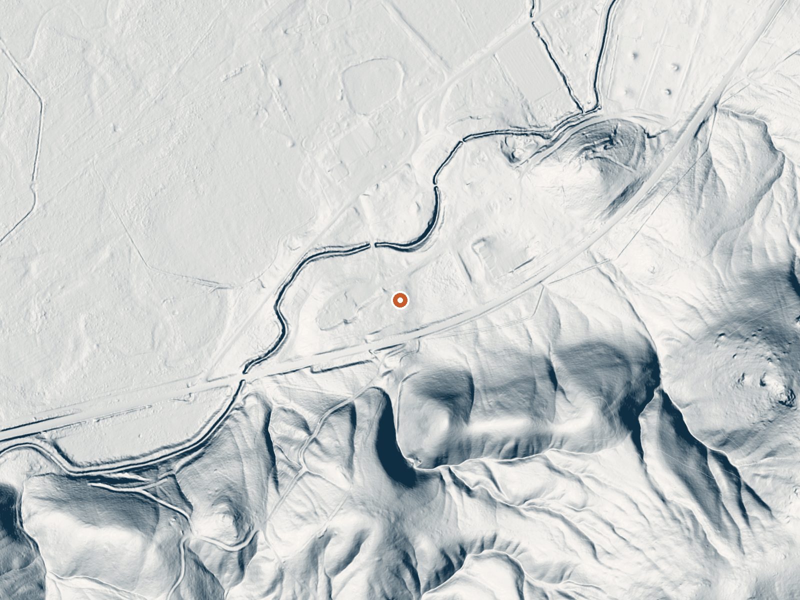
Drag the handle to compare the two views. The orange dot marks the spring, in a frame about three quarters of a mile wide.
Horseshoe Ranch Springs, twenty miles or so outside Carlin in Elko County, runs hot, near the top of the hot range, too much for comfortable soaking without cooling. The record has no ownership and no access entry. What is on file is a USGS site, a 1974 water sample and a roadside location.
An unnamed road passes a couple hundred feet away, at mid elevation in basin country. Snow runs a couple of feet through winter and rain is thin. The 1974 sample tested strongly alkaline. The record is missing both a land unit and a campground, and no picture is on file. Carlin, the nearest town, is twenty miles or so away.
Season: winter, per the record. Treat the water as able to burn. Access is unrecorded, so confirm with the landowner before crossing any fence. The sample dates from the 1970s. With the reading that old, carry no expectations about what the water is doing now.
Aircraft with laser scanners measured this ground to within inches. The scan strips out trees and buildings, leaving the bare shape of the land around Horseshoe Ranch Springs.
- Setting
- Hillside
- The spring sits on a steep slope that climbs to the southeast.
- Highest ground nearby
- 182 ft above the spring
- Within a quarter mile, to the southeast
A slice through the ground from north to south, about 0.6 miles end to end.
Elevation data: USGS 3D Elevation Program. Aerial imagery: USGS The National Map. Public domain.
That's close to the US average of 65. It's higher than at 13% of the springs on this site.
Heat flow measures the warmth working its way up through the ground from deep inside the earth. Where it runs high, rain and snowmelt that seep down through cracks in the rock come back up hot.
See every spring on the geothermal heat map →
Heat flow estimate: Stanford Thermal Earth Model (Aljubran & Horne, 2024), CC BY 4.0.
The water at Horseshoe Ranch Springs is alkaline (pH 9.0).