Hot Spring
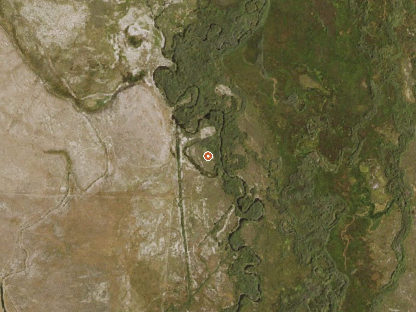
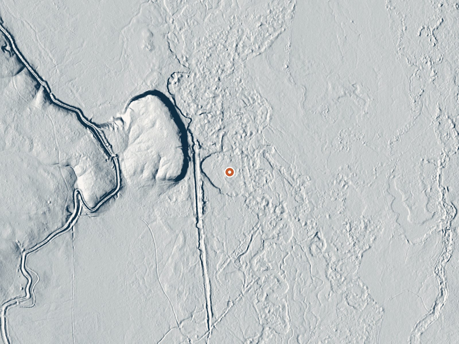
Drag the handle to compare the two views. The orange dot marks the spring, in a frame about three quarters of a mile wide.
Hot Spring, as both the record and OpenStreetMap call it, is a thermal point on Wells Field Office BLM land in Elko County, seventeen miles or so from Wells. Access is open. No temperature is attached, only the word hot. About 0.8 miles lies between it and the nearest road, which goes unnamed. Angel Lake, a national forest campground, is the camping listed, about fourteen miles away.
Around fifty-four hundred feet, public land, with a walk of under a mile from the road to the water. Winter snowfall totals close to three feet and the year's precipitation is about eleven inches. Average temperature runs below fifty. No photograph and no account of the spring itself are on file.
Best months are not on record; heavy winter snow suggests the warm half of the year. Open access on BLM ground, no fee noted. Angel Lake in the national forest is the nearest listed campground. The temperature is unknown beyond the qualifier, so test before touching, and do not plan on a soak until you have seen the water.
Aircraft with laser scanners measured this ground to within inches. The scan strips out trees and buildings, leaving the bare shape of the land around Hot Spring.
- Setting
- Open ground
- Flat, open ground all around.
- Highest ground nearby
- 30 ft above the spring
- Within a quarter mile, to the northwest
A slice through the ground from northwest to southeast, about 0.6 miles end to end.
Elevation data: USGS 3D Elevation Program. Aerial imagery: USGS The National Map. Public domain.
That's about 1½ times the US average of 65. It's higher than at 37% of the springs on this site.
Heat flow measures the warmth working its way up through the ground from deep inside the earth. Where it runs high, rain and snowmelt that seep down through cracks in the rock come back up hot.
See every spring on the geothermal heat map →
Heat flow estimate: Stanford Thermal Earth Model (Aljubran & Horne, 2024), CC BY 4.0.
Overview Angel Lake Campground is located next to beautiful Angel Lake, high on the East Humboldt Mountain Range. It sits at an elevation of 8,400 feet, just 12 miles from the city of Wells, in northeast Nevada. Visitors enjoy canoeing, fishing, hiking and viewing wildlife.Recreation Angel Lake offers great canoeing and fishing for rainbow and brook trout. Smith Lake Trail begins at the campground entrance. Facilities The campground offers single and double campsites, some of which have lake...
Hot Spring sits at 5,435 feet above sea level, way above the mile-high mark. You may not feel the altitude strongly, but hot water still dehydrates you faster at elevation. UV is about 22% stronger than at sea level, so bring sunscreen and drink more water than you normally would.



As an Amazon Associate, we earn from qualifying purchases.