Steamboat Springs
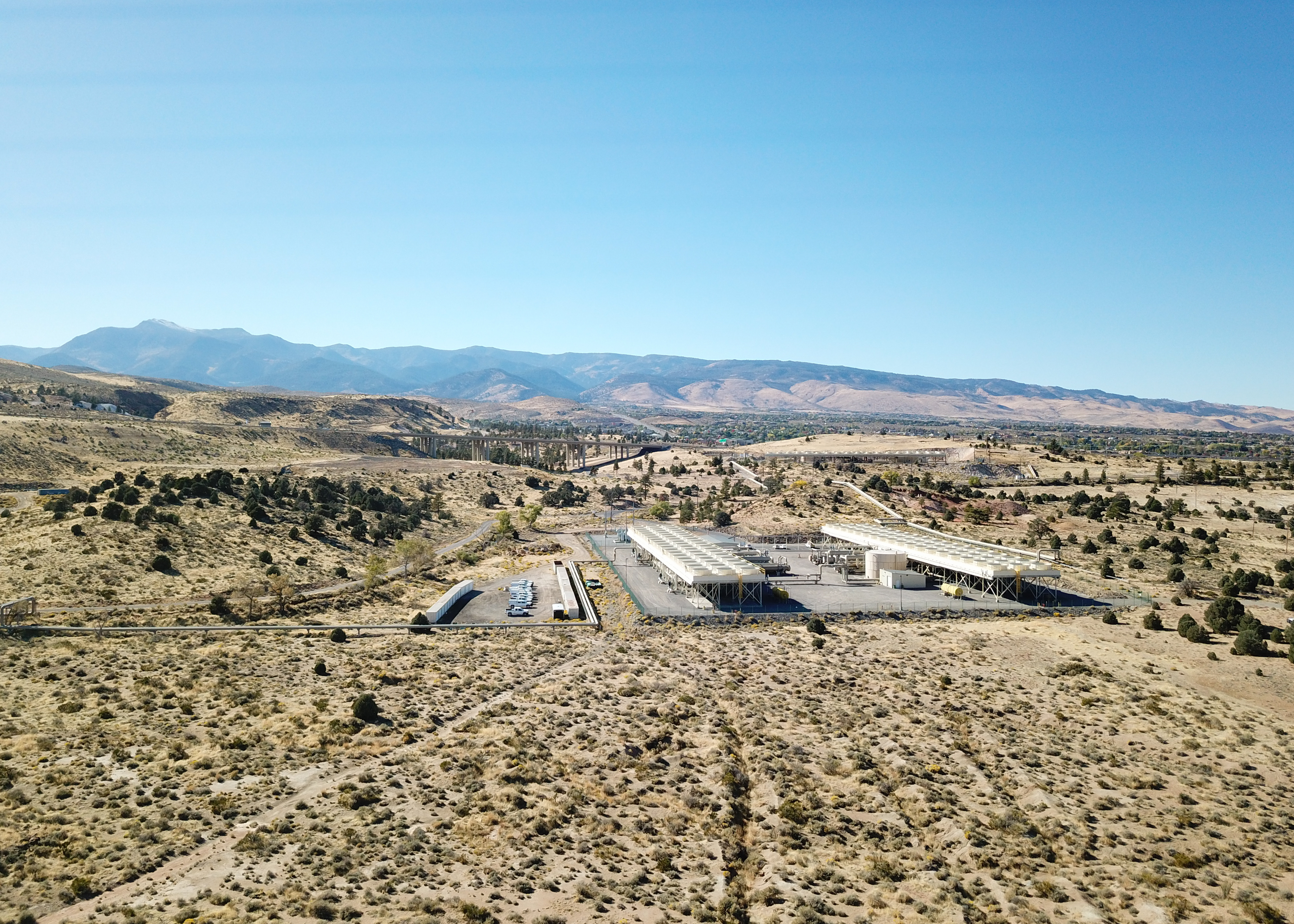
Steamboat Springs, in Storey County about seven and a half miles from Virginia City, is one of Nevada's hottest thermal sites, with a reading near the boiling point. This is scalding water. Who holds this ground, and whether the public may approach it, goes unrecorded. A photograph is on file.
The springs are a tenth of a mile off the Carson Reno Highway, a short walk. Four feet of snow in a normal winter and sixteen inches of precipitation make this wetter than most of the state. Steamboat Creek runs through the area, according to the Wikipedia account.
Winter months rank best. The water is scalding at the source, hot enough to kill, so stay out of it and keep children and dogs away from vents. Mount Rose campground is about ten miles away. Access and ownership are unrecorded, so do not assume you can walk in.
Wikipedia describes Steamboat Springs as a small volcanic field of rhyolite lava domes and flows south of Reno, dotted with hot springs, along with steam vents and fumaroles. The residential part of the area, mostly east of Steamboat Creek and south of State Route 341, now goes by the name Steamboat.
Aircraft with laser scanners measured this ground to within inches. The scan strips out trees and buildings, leaving the bare shape of the land around Steamboat Springs.
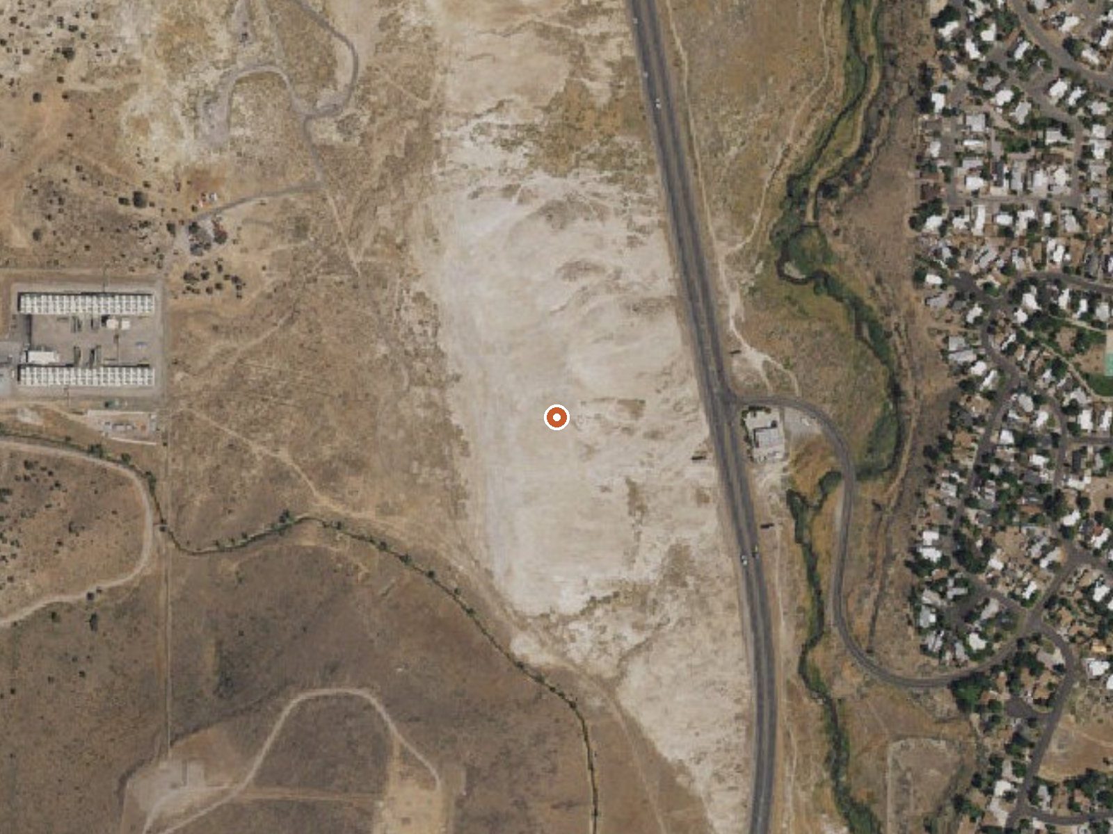
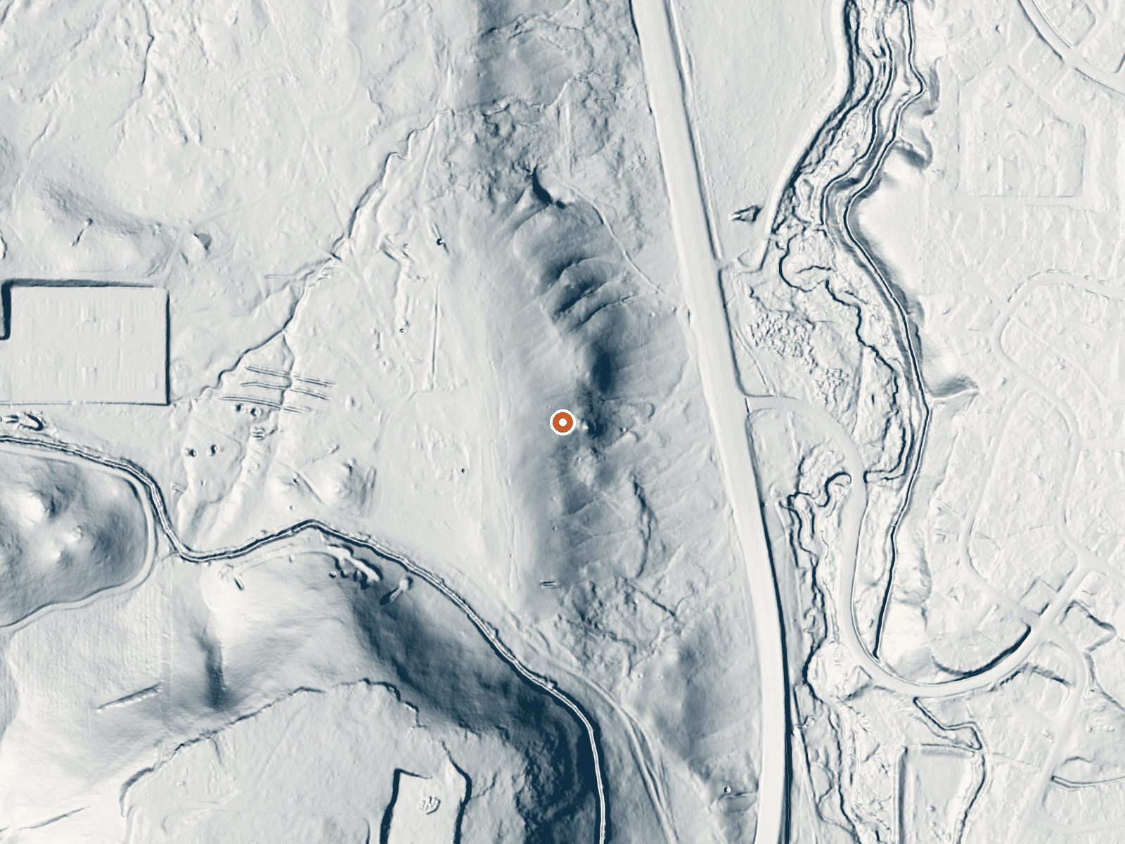
Drag the handle to compare the two views. The orange dot marks the spring, in a frame about three quarters of a mile wide.
- Setting
- Gentle slope
- The ground tilts gently up to the southwest.
- Highest ground nearby
- 162 ft above the spring
- Within a quarter mile, to the southwest
A slice through the ground from southwest to northeast, about 0.6 miles end to end.
Elevation data: USGS 3D Elevation Program. Aerial imagery: USGS The National Map. Public domain.
That's about 3½ times the US average of 65. It's higher than at 99% of the springs on this site.
Heat flow measures the warmth working its way up through the ground from deep inside the earth. Where it runs high, rain and snowmelt that seep down through cracks in the rock come back up hot.
See every spring on the geothermal heat map →
Heat flow estimate: Stanford Thermal Earth Model (Aljubran & Horne, 2024), CC BY 4.0.
Some links are affiliate links. We may earn a commission at no extra cost to you.
Overview Mount Rose Campground is conveniently located between Reno and Lake Tahoe just off scenic Mount Rose Highway. Visitors love the campground for its proximity to excellent hiking trails and recreational opportunities at Lake Tahoe.Recreation Hiking is the most popular pastime at Mount Rose. Several trails, including the Tahoe Meadows, Tahoe Rim, Mount Rose Wilderness and Mount Rose Summit Trails, begin very close to the campground.Facilities Mount Rose contains single and double-family...
Steamboat Springs is road-accessible, so you can bring more gear. The water is dangerously hot, so bring water shoes and test pools carefully.





As an Amazon Associate, we earn from qualifying purchases.
Springs Near Steamboat Springs
More Springs Around 205°F
Hike 6 waterfalls near Steamboat Springs
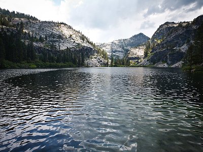
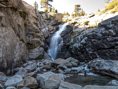
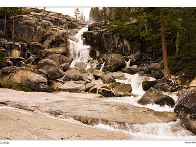
Looking for more outdoor adventures? Explore waterfall hikes near Steamboat Springs, Nevada.