Unnamed Thermal Spring

An unnamed thermal point in Eureka County, Nevada, on Bureau of Land Management ground under the Mount Lewis Field Office. Eureka, the nearest town, sits better than fifty miles off. The survey tagged the water hot and never wrote down a temperature, so nobody should plan a soak on the strength of this entry. Public access is recorded as open, and there is a photo on file, which is more than most points this obscure can claim.
The spring lies a couple hundred yards from the closest road, which goes nameless in the record. Call it a short walk across public land. Elevation was never entered. Winters bring a moderate amount of snow, a few feet over the season, and the year as a whole is dry. Nothing was written down about the terrain between road and water.
There is no best-months rating here, so go by the snowfall: shoulder seasons and summer will have clearer roads than midwinter. The record has neither fee nor campground. Since the temperature was never measured, carry your own thermometer and treat the hot label as a warning until you have tested the water yourself. Land questions go to the Mount Lewis office.
USGS hasn't flown a detailed laser scan here yet, so this view comes from aerial photos and older elevation data.
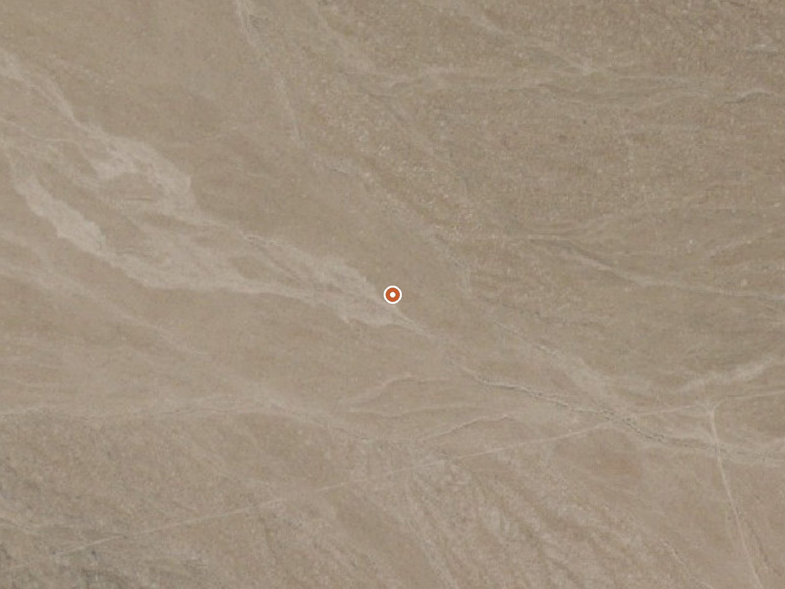
The orange dot marks the spring, in a frame about three quarters of a mile wide.
- Setting
- Open ground
- Flat, open ground all around.
- Highest ground nearby
- 40 ft above the spring
- Within a quarter mile, to the east
A slice through the ground from northwest to southeast, about 0.6 miles end to end.
Elevation data: USGS 3D Elevation Program. Aerial imagery: USGS The National Map. Public domain.
That's about 1½ times the US average of 65. It's higher than at 45% of the springs on this site.
Heat flow measures the warmth working its way up through the ground from deep inside the earth. Where it runs high, rain and snowmelt that seep down through cracks in the rock come back up hot.
See every spring on the geothermal heat map →
Heat flow estimate: Stanford Thermal Earth Model (Aljubran & Horne, 2024), CC BY 4.0.
Some links are affiliate links. We may earn a commission at no extra cost to you.
this spring is road-accessible, so you can bring more gear.






As an Amazon Associate, we earn from qualifying purchases.
Springs Near This Spring
Hike 1 waterfall near this spring
Looking for more outdoor adventures? Explore waterfall hikes near this spring, Nevada.