Mimbres Hot Springs
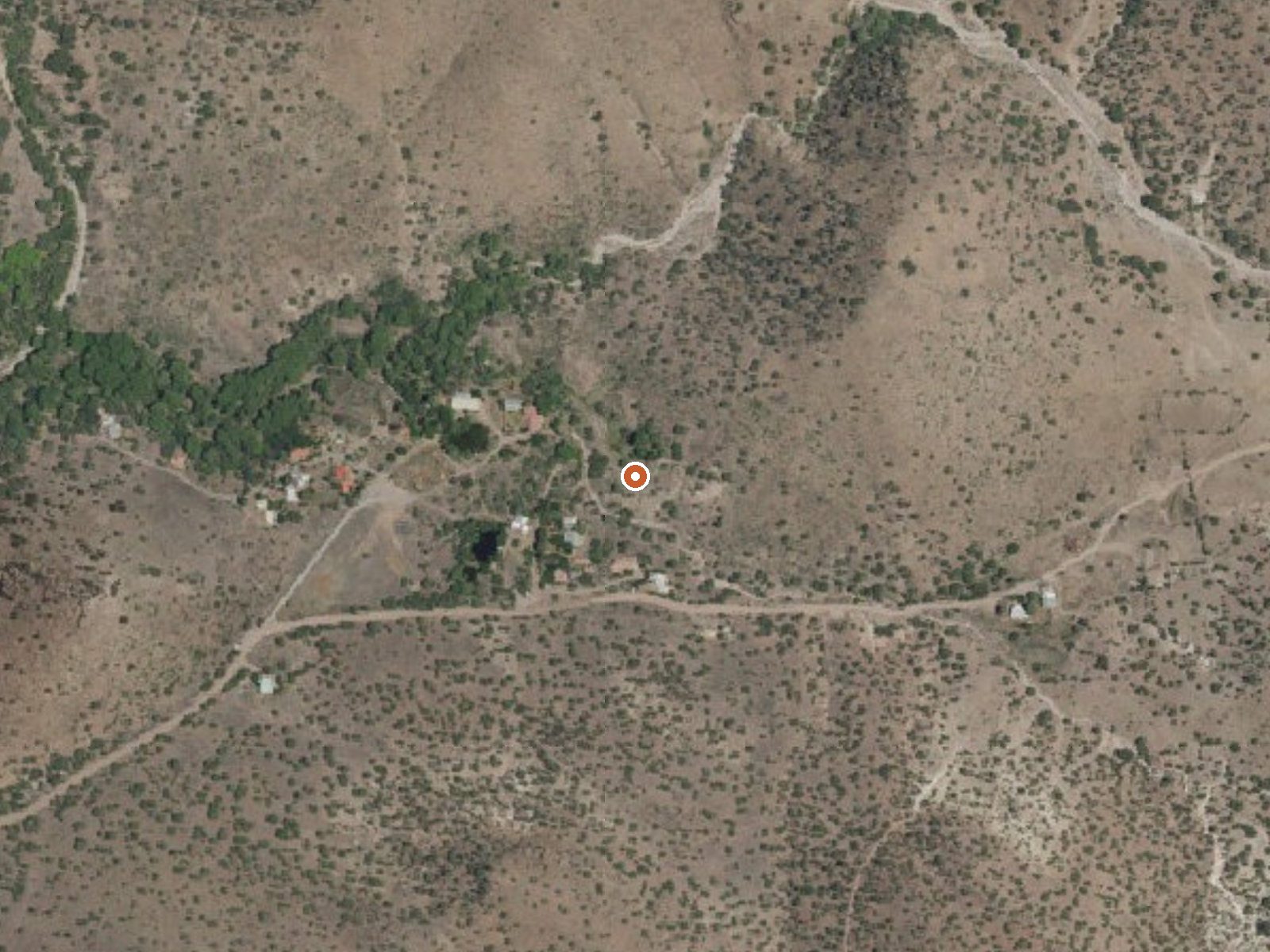
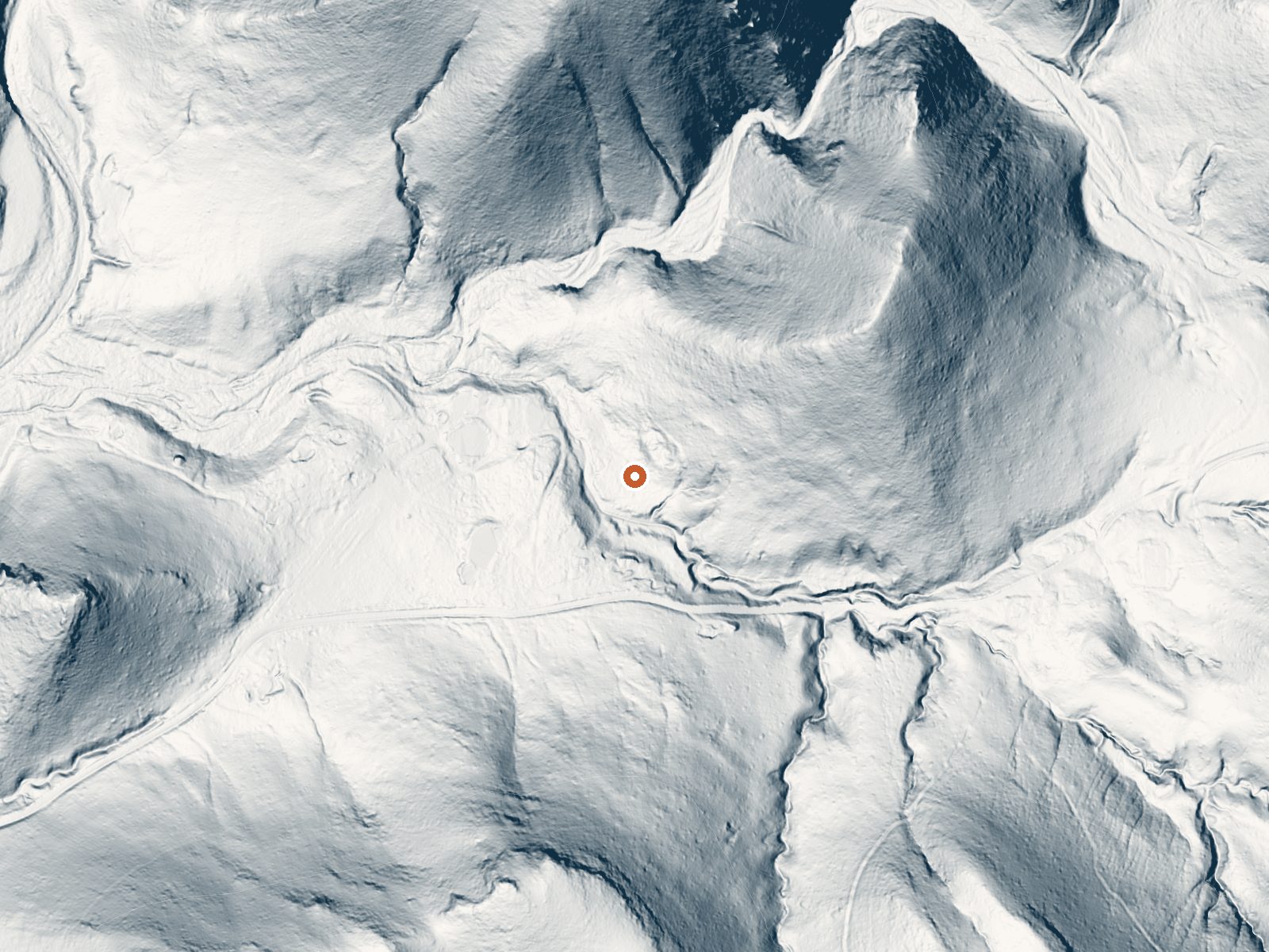
Drag the handle to compare the two views. The orange dot marks the spring, in a frame about three quarters of a mile wide.
Grant County again, seventeen miles from Bayard. Mimbres Hot Springs comes out well above any soaking temperature, hot enough to burn with a little time in it. Ownership and access both went unrecorded. A 1974 sample found alkaline water with calcium, magnesium, sodium, sulfate and chloride. There is no photo on file.
Under 300 feet from the road, at around 5,700 feet, so it counts as roadside. Modest snow, moderate rain, with a mild annual average. Iron Creek Campground is eleven miles away. Nobody is listed as owner. Nothing in the record describes the spring's form or what the outflow does. The nearest road is unnamed in our data.
Hot. Don't step in without testing, and plan on cooling. Verify land status first, since nothing says who owns it. Iron Creek Campground is the camping on record. Go in the cold months. The water reading is fifty years old, and hot springs do change.
Aircraft with laser scanners measured this ground to within inches. The scan strips out trees and buildings, leaving the bare shape of the land around Mimbres Hot Springs.
- Setting
- Canyon floor
- Steep ground climbs away on both sides of the spring.
- Highest ground nearby
- 292 ft above the spring
- Within a quarter mile, to the south
A slice through the ground from southwest to northeast, about 0.6 miles end to end.
Elevation data: USGS 3D Elevation Program. Aerial imagery: USGS The National Map. Public domain.
That's about twice the US average of 65. It's higher than at 77% of the springs on this site.
Heat flow measures the warmth working its way up through the ground from deep inside the earth. Where it runs high, rain and snowmelt that seep down through cracks in the rock come back up hot.
See every spring on the geothermal heat map →
Heat flow estimate: Stanford Thermal Earth Model (Aljubran & Horne, 2024), CC BY 4.0.
The water at Mimbres Hot Springs is slightly alkaline (pH 8.3).
Iron Creek Campground is easily accessible for campers and provides good facilitiesLocated in the Black Range Mountains off NM State Highway 152, starting at San Lorenzo and ending in Hillsboro. This is a mountain road with beautiful scenic sites at every curve. Watch for rocks on the road.
Mimbres Hot Springs sits at 5,720 feet above sea level, way above the mile-high mark. You may not feel the altitude strongly, but hot water still dehydrates you faster at elevation. UV is about 23% stronger than at sea level, so bring sunscreen and drink more water than you normally would.



As an Amazon Associate, we earn from qualifying purchases.