Unnamed Thermal Spring
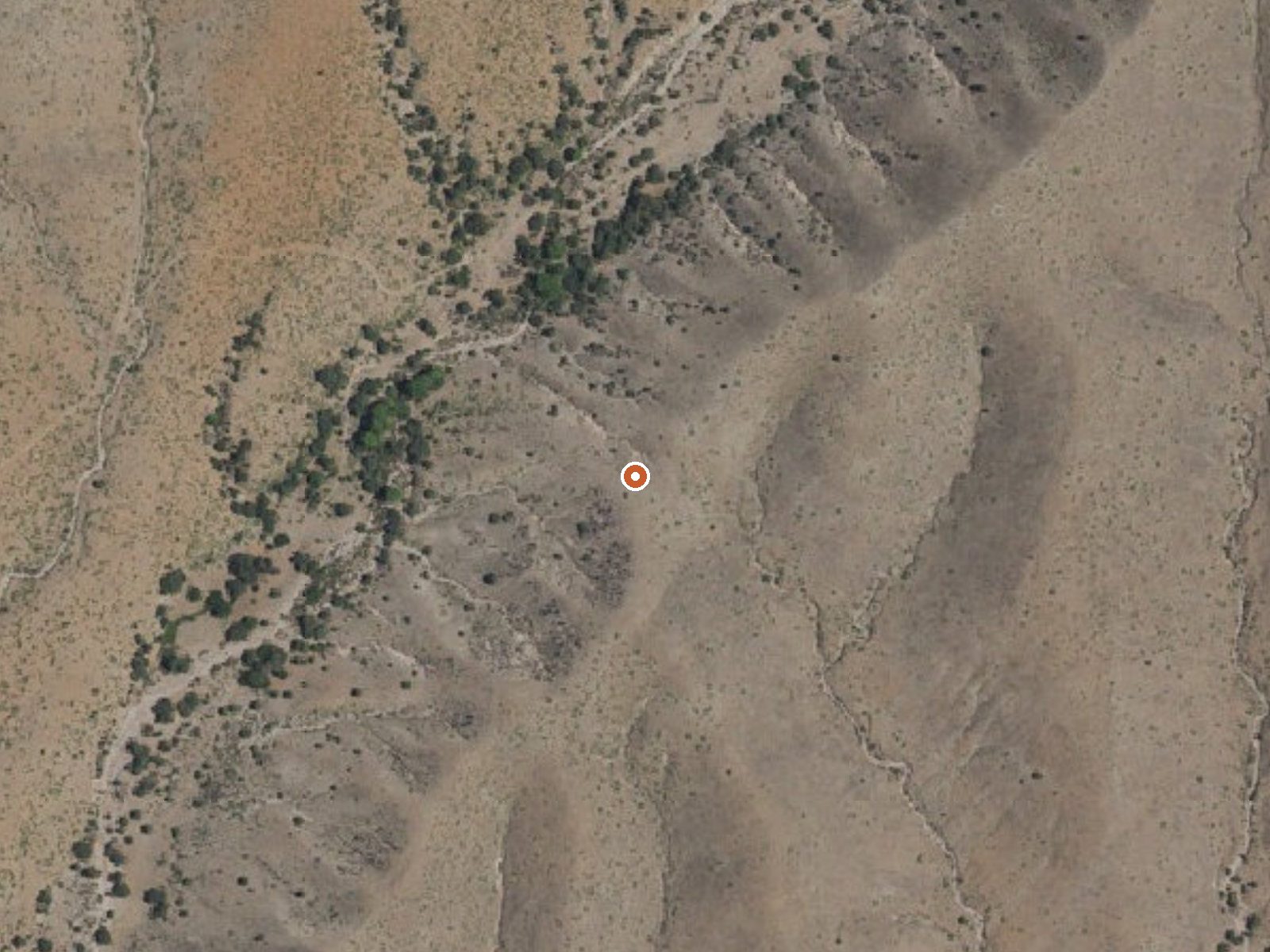
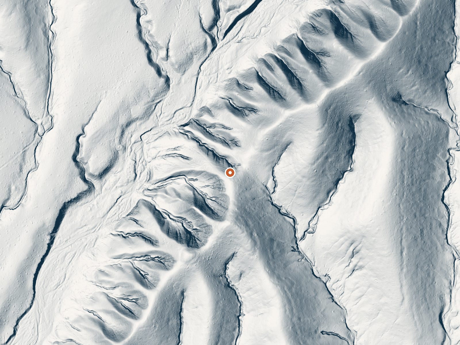
Drag the handle to compare the two views. The orange dot marks the spring, in a frame about three quarters of a mile wide.
Southwestern New Mexico, Grant County, about 19 miles from Hurley: a spring with no name and tepid water, low seventies. Neither owner nor access status appears on the record. A 1952 sample found very little dissolved mineral, fresher than most thermal water. It is under half a mile from the closest road.
About 5,500 feet, in country that sees little snow and moderate rain. The approach is a short walk; the road is not named. The nearest camp on record is Iron Creek Campground, fifteen miles distant. Without an owner on file, the spring could sit on private land or public ground, and the record cannot tell you which.
Cool months rate best. Low mineral content and a tepid temperature make this more of a curiosity than a destination. Confirm who owns the land before walking in. The water sample is over seventy years old. No fee listed. The USGS tracks this one by site number.
Aircraft with laser scanners measured this ground to within inches. The scan strips out trees and buildings, leaving the bare shape of the land around this spring.
- Setting
- Gentle slope
- The ground tilts gently up to the northeast.
- Highest ground nearby
- 102 ft above the spring
- Within a quarter mile, to the northeast
A slice through the ground from west to east, about 0.6 miles end to end.
Elevation data: USGS 3D Elevation Program. Aerial imagery: USGS The National Map. Public domain.
That's about twice the US average of 65. It's higher than at 73% of the springs on this site.
Heat flow measures the warmth working its way up through the ground from deep inside the earth. Where it runs high, rain and snowmelt that seep down through cracks in the rock come back up hot.
See every spring on the geothermal heat map →
Heat flow estimate: Stanford Thermal Earth Model (Aljubran & Horne, 2024), CC BY 4.0.
The water at This spring contains 226 mg/L total dissolved solids.
Iron Creek Campground is easily accessible for campers and provides good facilitiesLocated in the Black Range Mountains off NM State Highway 152, starting at San Lorenzo and ending in Hillsboro. This is a mountain road with beautiful scenic sites at every curve. Watch for rocks on the road.
this spring sits at 5,520 feet above sea level, way above the mile-high mark. You may not feel the altitude strongly, but hot water still dehydrates you faster at elevation. UV is about 22% stronger than at sea level, so bring sunscreen and drink more water than you normally would.



As an Amazon Associate, we earn from qualifying purchases.