Unnamed Thermal Spring
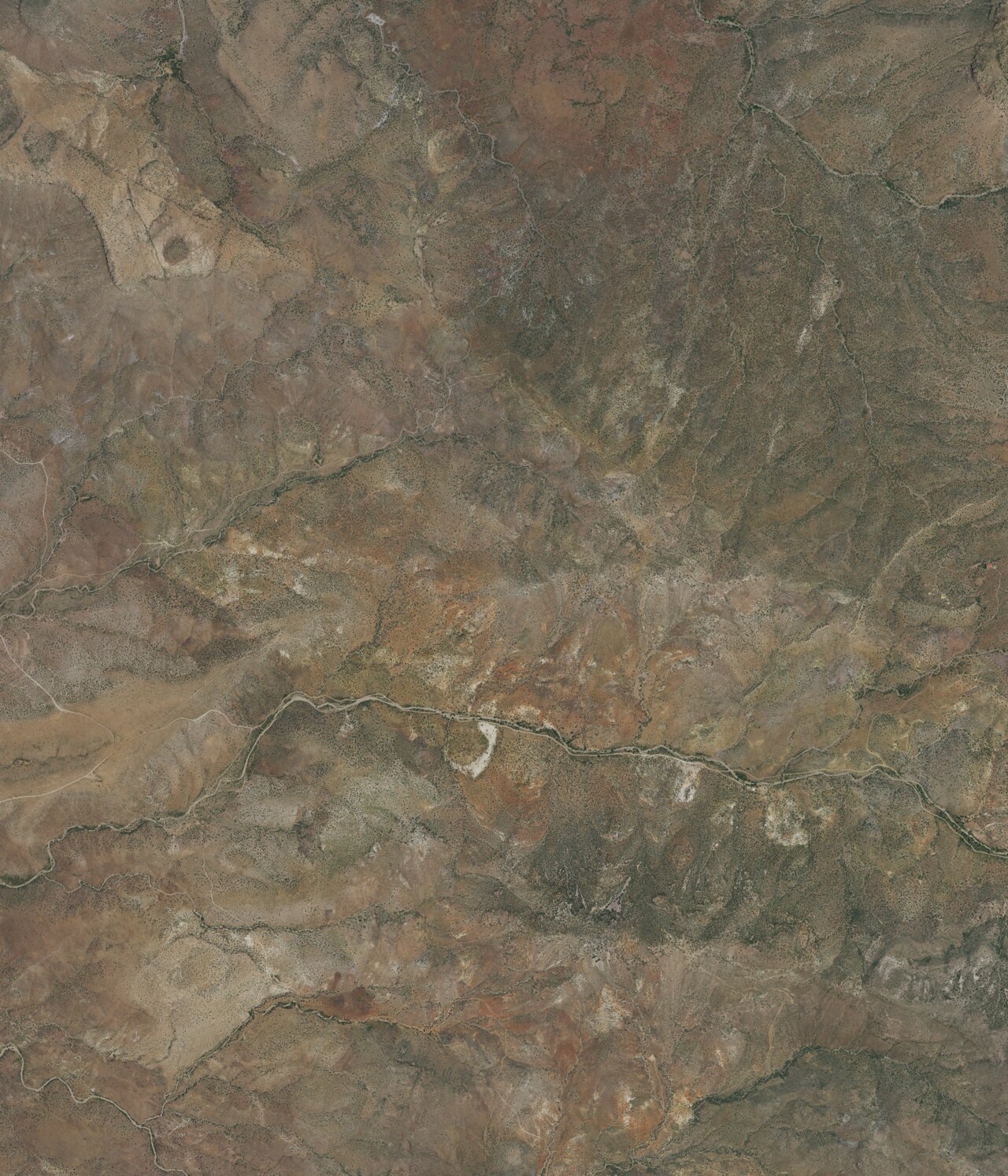
An unnamed thermal point right off Bitter Creek Road in Greenlee County, under five miles from Clifton. Barely warm water, high sixties on the last reading, so this is a roadside curiosity. A 1941 sample showed brackish water with a heavy mineral load. Neither the land owner nor the access status appears in the record.
Low desert, hot, sitting under 4,800 feet. Snow almost never falls here and the rain stays moderate. The road runs within about ninety feet of the spring, close enough that walking hardly enters into it. Owl Creek Campground is the nearest camp on file, roughly sixteen miles out. Someone photographed the site.
Best in the cool months, since summer here is hot. Stop and look. Do not expect a soak; the water is too cool and too salty by the old figures. Confirm ownership before stepping off the road. No fee. The USGS logs the site under a number and has a single sample from September 1941.
Aircraft with laser scanners measured this ground to within inches. The scan strips out trees and buildings, leaving the bare shape of the land around this spring.
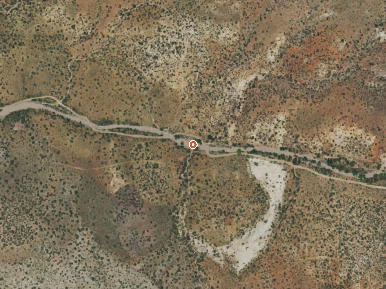
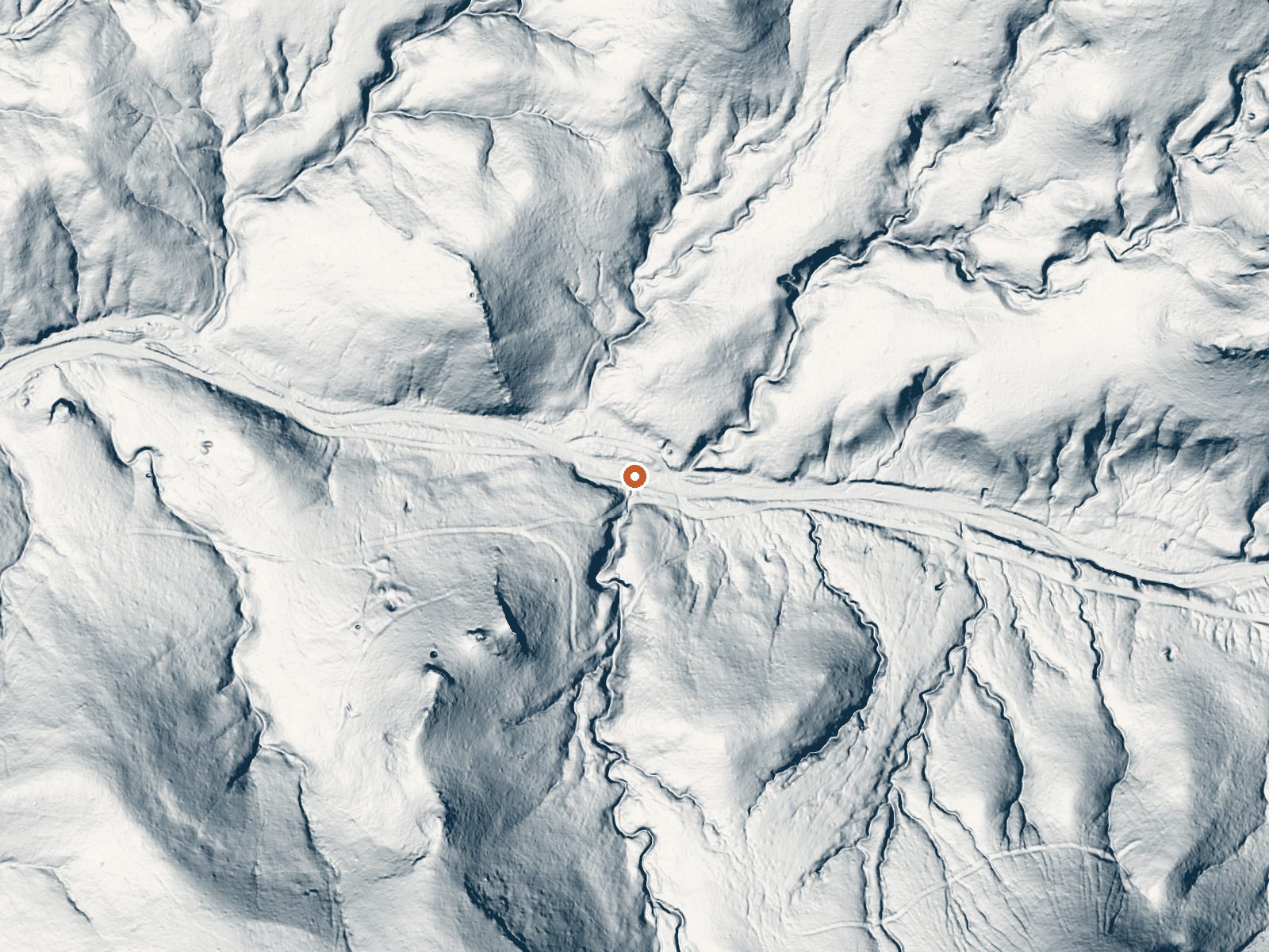
Drag the handle to compare the two views. The orange dot marks the spring, in a frame about three quarters of a mile wide.
- Setting
- Hillside
- The spring sits on a steep slope that climbs to the southwest.
- Highest ground nearby
- 221 ft above the spring
- Within a quarter mile, to the southwest
A slice through the ground from south to north, about 0.6 miles end to end.
Elevation data: USGS 3D Elevation Program. Aerial imagery: USGS The National Map. Public domain.
That's about 1½ times the US average of 65. It's higher than at 30% of the springs on this site.
Heat flow measures the warmth working its way up through the ground from deep inside the earth. Where it runs high, rain and snowmelt that seep down through cracks in the rock come back up hot.
See every spring on the geothermal heat map →
Heat flow estimate: Stanford Thermal Earth Model (Aljubran & Horne, 2024), CC BY 4.0.
The water at This spring contains 2290 mg/L total dissolved solids. It is notably rich in calcium (may support bone density and joint health), magnesium (known for muscle relaxation and stress relief), and sulfate (traditionally used for skin conditions and inflammation).
Some links are affiliate links. We may earn a commission at no extra cost to you.
Located in the Gila Box Riparian National Conservation Area in Arizona, Owl Creek Campground has seven campsites, picnic tables, grills, ramadas, trash receptacles, and restroom facilities available to make your stay more enjoyable. There is no potable water available at the campground. Three of the campsites are pull-through sites, and four are pull-in sites, making the campground suitable for trailers and RVS. The campground is a stop on the Black Hills Back Country Byway, and it is also j...
this spring is road-accessible, so you can bring more gear.




As an Amazon Associate, we earn from qualifying purchases.
Springs Near This Spring
More Springs Around 69°F
Hike 2 waterfalls near this spring
Looking for more outdoor adventures? Explore waterfall hikes near this spring, New Mexico.