Alvord Hot Springs
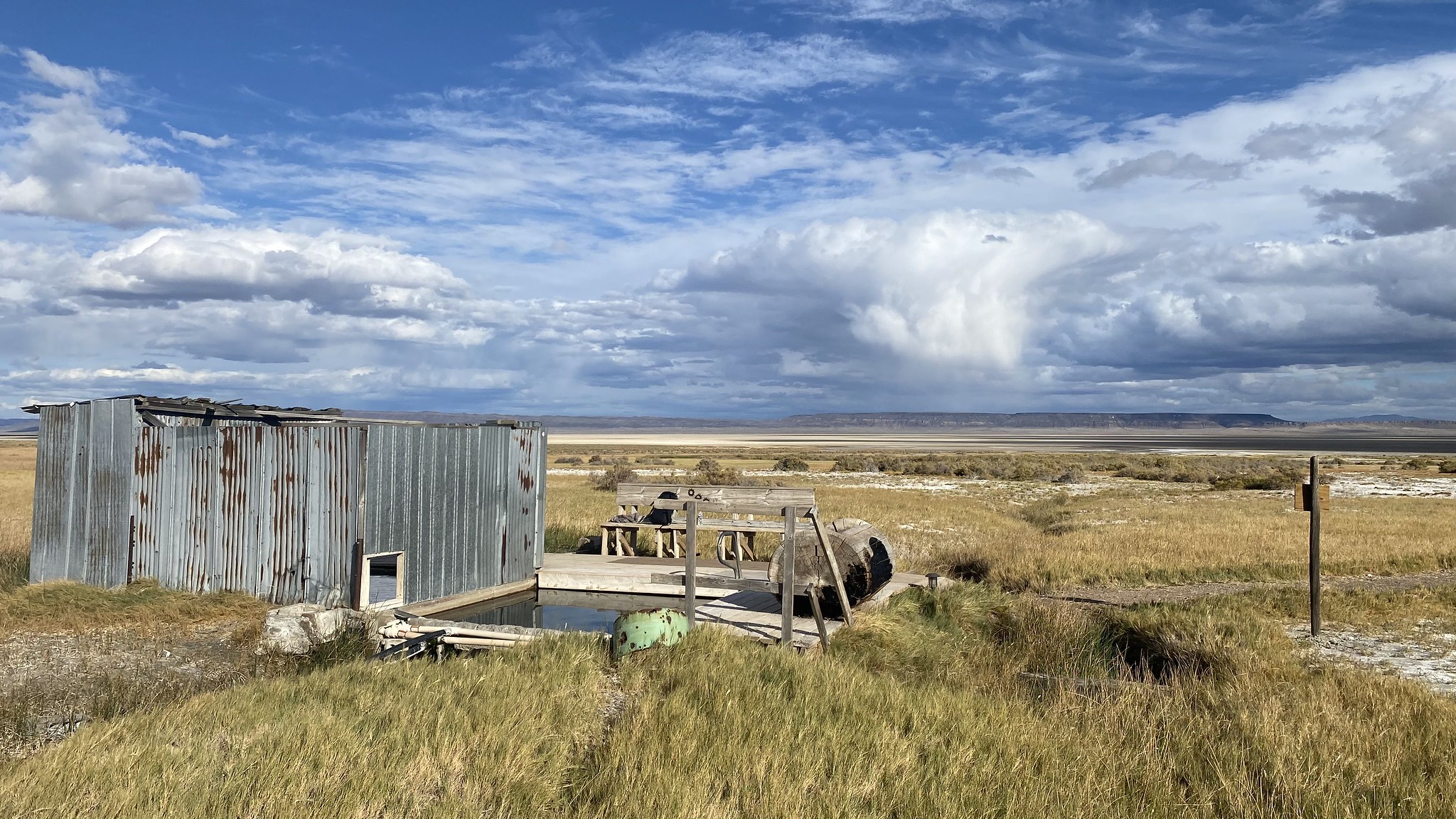
Alvord Hot Springs comes out of the ground at 174 degrees, far past anything a body tolerates. It lies in Harney County in the southeast corner of Oregon, about seventy five miles from Hines, and Wikipedia carries a brief entry on it as a geothermal spring in that county. Landowner and public access are both absent from what was recorded, which matters for a spring this well known by name.
Fields-Folly Farm Road runs within about a hundred yards, so the approach is a short walk from the roadside at a little over four thousand feet. This is dry country. Expect snow on the ground for part of the winter but not a great deal of it, and little rain the rest of the year. South Steens Campground, some thirteen miles distant, is the closest listed camping.
December through February come out on top in the rankings. The source water will scald, so do not get in anywhere the heat has not been tamed first, and keep an eye on anyone with you. Access and ownership were not written down. South Steens is where you would sleep if you stay out here.
Wikipedia's entry is a single line placing Alvord Hot Springs in Harney County, southeastern Oregon, as a geothermal spring. The USGS carries the spring under its own site identifier.
Aircraft with laser scanners measured this ground to within inches. The scan strips out trees and buildings, leaving the bare shape of the land around Alvord Hot Springs.
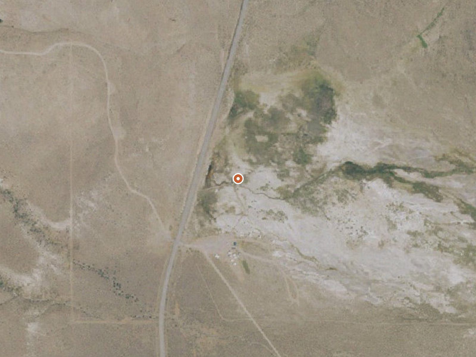
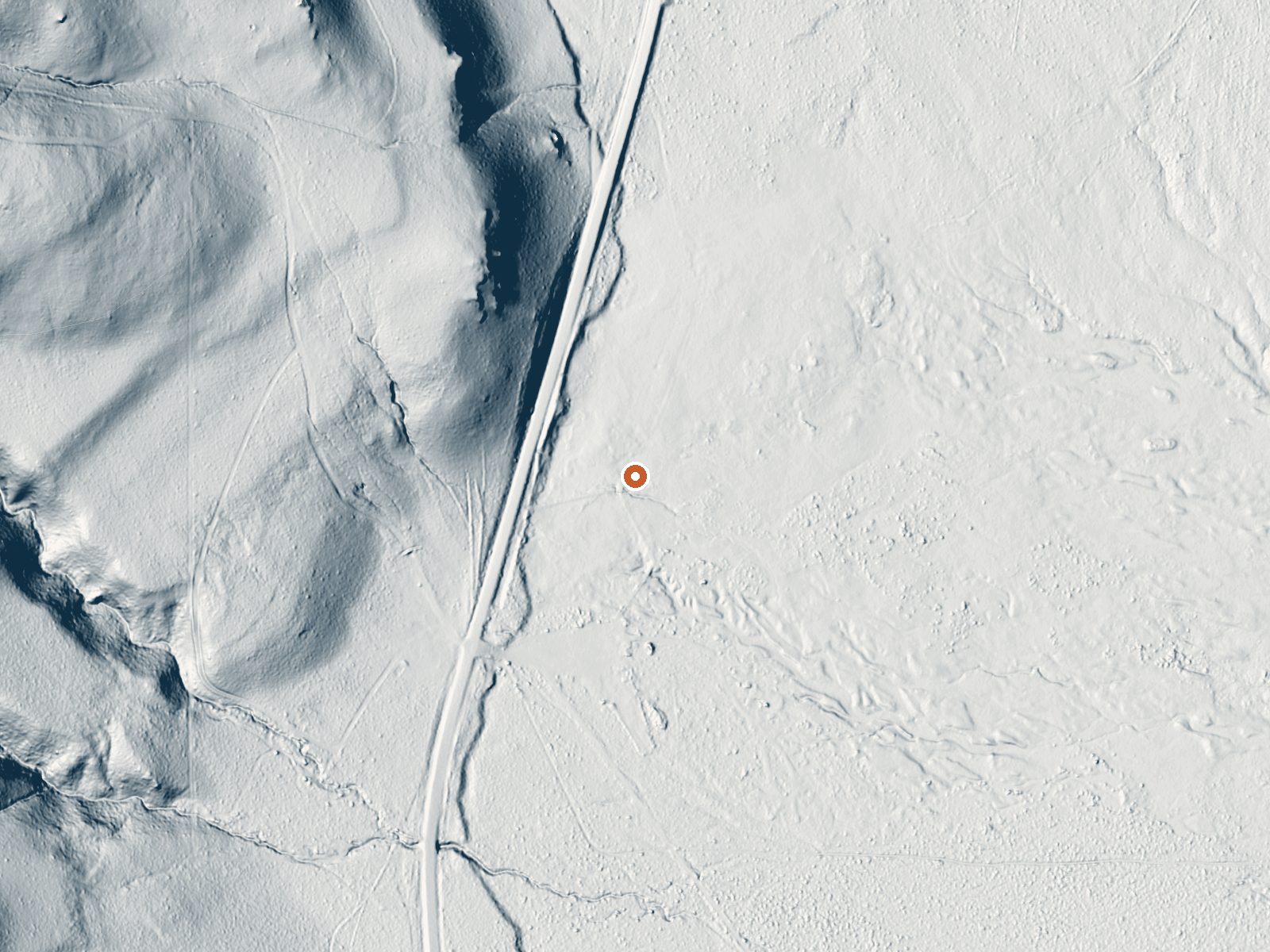
Drag the handle to compare the two views. The orange dot marks the spring, in a frame about three quarters of a mile wide.
- Setting
- Gentle slope
- The ground tilts gently up to the northwest.
- Highest ground nearby
- 165 ft above the spring
- Within a quarter mile, to the northwest
A slice through the ground from northwest to southeast, about 0.6 miles end to end.
Elevation data: USGS 3D Elevation Program. Aerial imagery: USGS The National Map. Public domain.
That's about 1½ times the US average of 65. It's higher than at 51% of the springs on this site.
Heat flow measures the warmth working its way up through the ground from deep inside the earth. Where it runs high, rain and snowmelt that seep down through cracks in the rock come back up hot.
See every spring on the geothermal heat map →
Heat flow estimate: Stanford Thermal Earth Model (Aljubran & Horne, 2024), CC BY 4.0.
Some links are affiliate links. We may earn a commission at no extra cost to you.
Overview:South Steens Campground is located in the heart of Steens Mountain. Visitors will find picnic tables and grills at 36 family campsites amid juniper and sage. The equestrian site, designed specifically for horse users, is directly adjacent to the family campground. Recreational stock (horses, mules, llamas, goats, etc.) are not allowed in the family portion of South Steens Campground, but are welcome and comfortable at 15 equestrian sites complete with tie posts and small corrals.Know...
Alvord Hot Springs is road-accessible, so you can bring more gear. The water is dangerously hot, so bring water shoes and test pools carefully.





As an Amazon Associate, we earn from qualifying purchases.