Mickey Springs
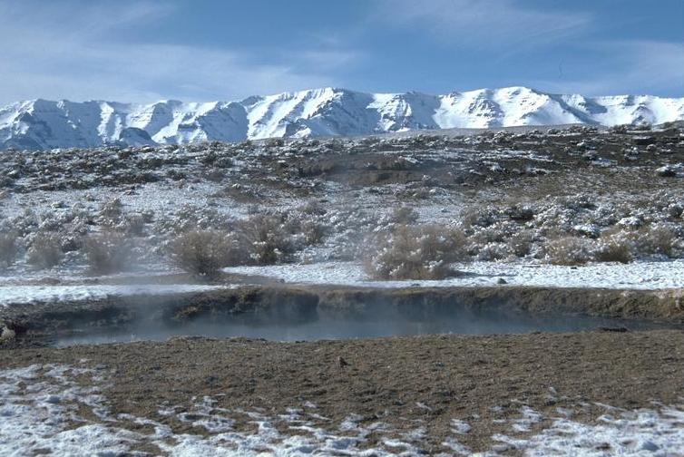
Mickey Hot Springs, listed on file as Mickey Springs, is a cluster of scalding vents and mudpots at the north end of the Alvord Desert in Harney County. Nothing here is for soaking. The water surfaces hot enough to burn skin in an instant. The site belongs to the Bureau of Land Management's Burns Andrews Field Office and is open to the public. Hines, the closest town of any size, is roughly seventy miles away.
The spring field lies on the dry floor of southeastern Oregon's high desert, with Steens Mountain to the west. You leave the vehicle and walk about a third of a mile to reach it. This is a dry corner of the state. A foot of rain in an ordinary year, modest snow, so getting there is rarely a weather problem. Wikipedia notes the much larger 2-6 Hot Springs to the south, bigger than Mickey and less known.
Winter is the season the record favors, December through February. Keep well back from the vents and mudpots; water at this temperature scalds on contact. There is no fee on file. Jackman Park Campground, around fifteen miles off, is where the record puts the nearest campsite. Nothing describes a soaking pool, so come expecting to look.
Wikipedia describes Mickey Hot Springs as a small hot spring system with several natural bubbling mudpots and steam vents, sitting north of the larger 2-6 Hot Springs. OpenStreetMap carries it as Mickey Hot Springs, and the USGS has a thermal site number on record here.
Aircraft with laser scanners measured this ground to within inches. The scan strips out trees and buildings, leaving the bare shape of the land around Mickey Springs.
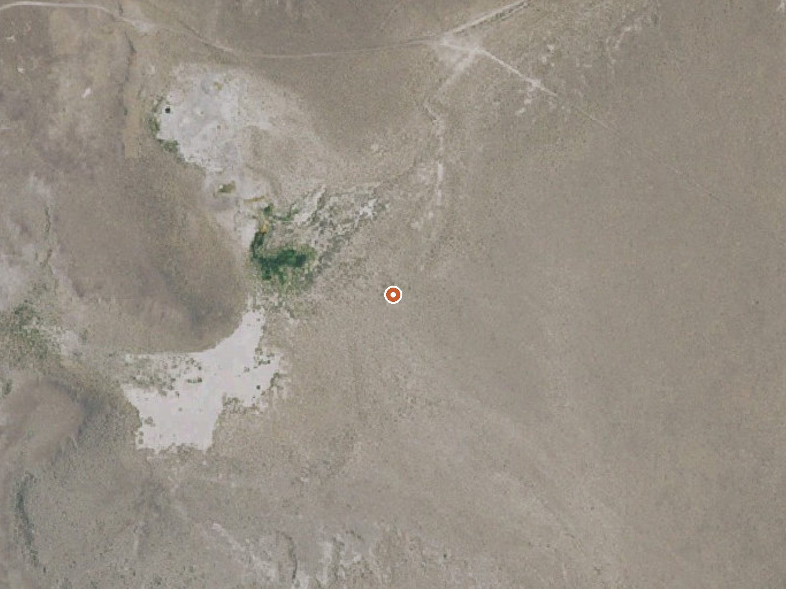
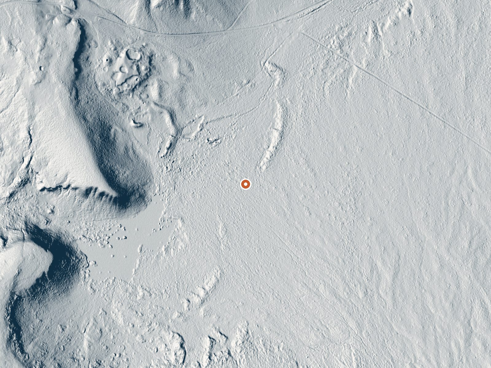
Drag the handle to compare the two views. The orange dot marks the spring, in a frame about three quarters of a mile wide.
- Setting
- Open ground
- Flat, open ground all around.
- Highest ground nearby
- 39 ft above the spring
- Within a quarter mile, to the west
A slice through the ground from west to east, about 0.6 miles end to end.
Elevation data: USGS 3D Elevation Program. Aerial imagery: USGS The National Map. Public domain.
That's close to the US average of 65. It's higher than at 13% of the springs on this site.
Heat flow measures the warmth working its way up through the ground from deep inside the earth. Where it runs high, rain and snowmelt that seep down through cracks in the rock come back up hot.
See every spring on the geothermal heat map →
Heat flow estimate: Stanford Thermal Earth Model (Aljubran & Horne, 2024), CC BY 4.0.
Some links are affiliate links. We may earn a commission at no extra cost to you.
Jackman Park Campground is located on the flanks of Steens Mountain, within the Steens Mountain Cooperative Management and Protective Area (CMPA). This area encompasses an extraordinary landscape with deep glacier carved-gorges, stunning scenery, wilderness, wild rivers, a rich diversity of plant and animal species, and a way of life for all who live there. At 7,800-foot elevation and set among aspen stands, Jackson Park Campground offers some of the best fall color viewing on Steens Mountain...
Mickey Springs is road-accessible, so you can bring more gear. The water is dangerously hot, so bring water shoes and test pools carefully.





As an Amazon Associate, we earn from qualifying purchases.