Unnamed Thermal Spring
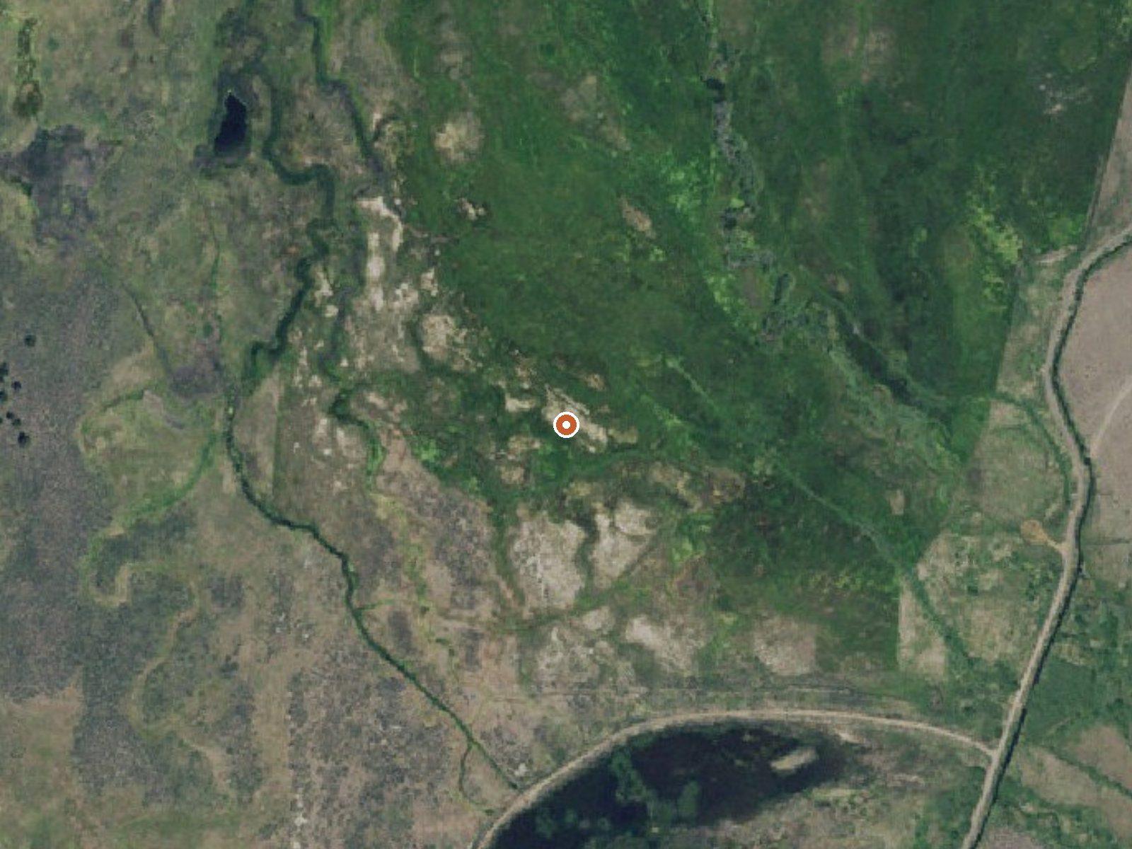
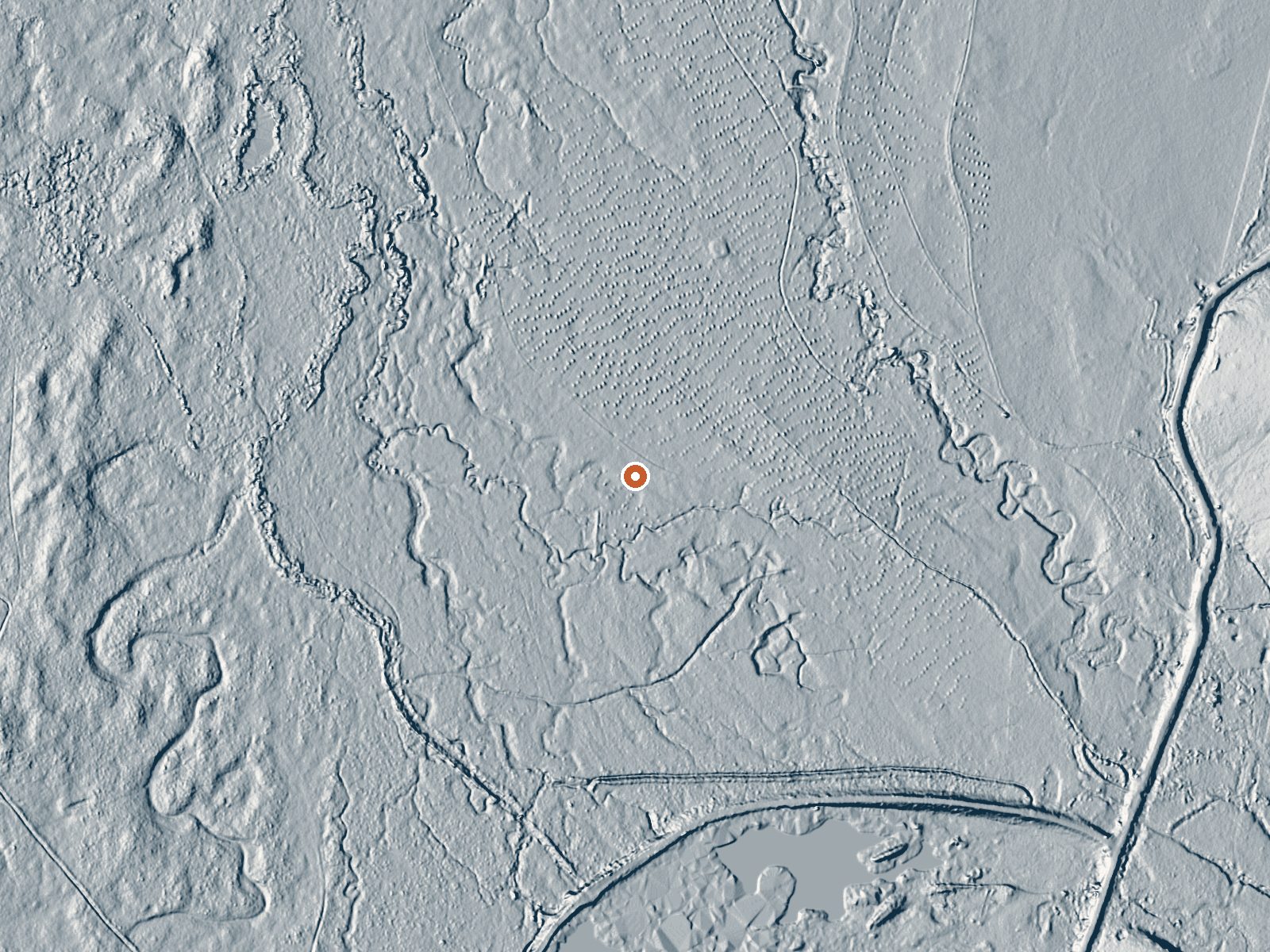
Drag the handle to compare the two views. The orange dot marks the spring, in a frame about three quarters of a mile wide.
An unnamed thermal point on the Malheur National Wildlife Refuge in Harney County, about 51 miles from Hines. The water on file is warm, a bit under body heat. Access is restricted. On a wildlife refuge that means the refuge, and only the refuge, decides who goes where. The USGS tracks it by site number.
Center Patrol Road is the nearest road, and the spring is about a mile's hike from it across U.S. Fish and Wildlife Service land. Elevation is a bit over four thousand feet. Winter snow is about three feet and annual precipitation around fourteen inches.
Winter months are on file as best. Page Springs Campground is close, a little over two miles away. Because access is restricted, check with the refuge before attempting the walk, and expect that some areas are closed. The water is warm and under body heat, so it would be a mild soak at most, if you were allowed in. No fee is listed.
Aircraft with laser scanners measured this ground to within inches. The scan strips out trees and buildings, leaving the bare shape of the land around this spring.
- Setting
- Open ground
- Flat, open ground all around.
- Highest ground nearby
- 8 ft above the spring
- Within a quarter mile, to the southeast
A slice through the ground from west to east, about 0.6 miles end to end.
Elevation data: USGS 3D Elevation Program. Aerial imagery: USGS The National Map. Public domain.
That's close to the US average of 65. It's higher than at 11% of the springs on this site.
Heat flow measures the warmth working its way up through the ground from deep inside the earth. Where it runs high, rain and snowmelt that seep down through cracks in the rock come back up hot.
See every spring on the geothermal heat map →
Heat flow estimate: Stanford Thermal Earth Model (Aljubran & Horne, 2024), CC BY 4.0.
Overview Page Springs Campground is located at the base of Steens Mountain, just three miles from the town of Frenchglen, Oregon. Thrity-six roomy campsites situated under cottonwood and juniper trees and near the Donner and Blitzen River welcome visitors year-round. The campground serves as the trailhead for two short hikes: the Blitzen River Trail meanders four miles up the river, while the Wilderness Nature Trail climbs gradually to the top of the bluff overlooking the valley floor and l...