Medical Hot Springs
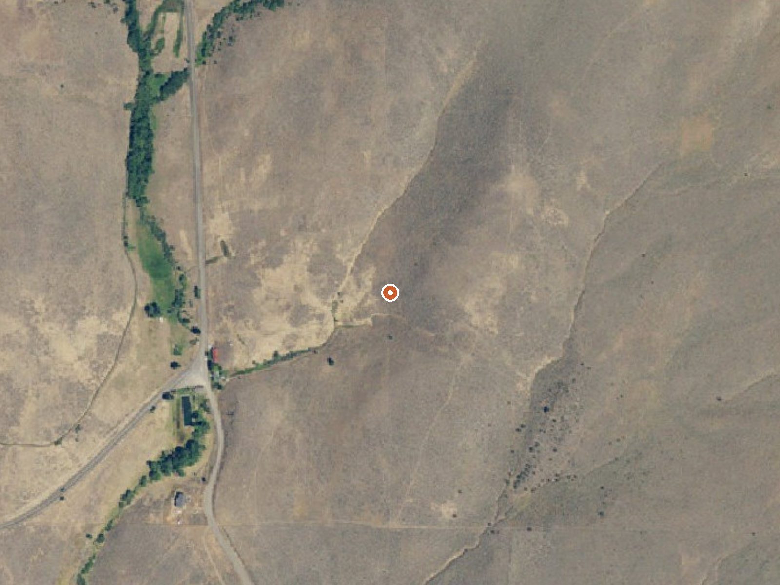
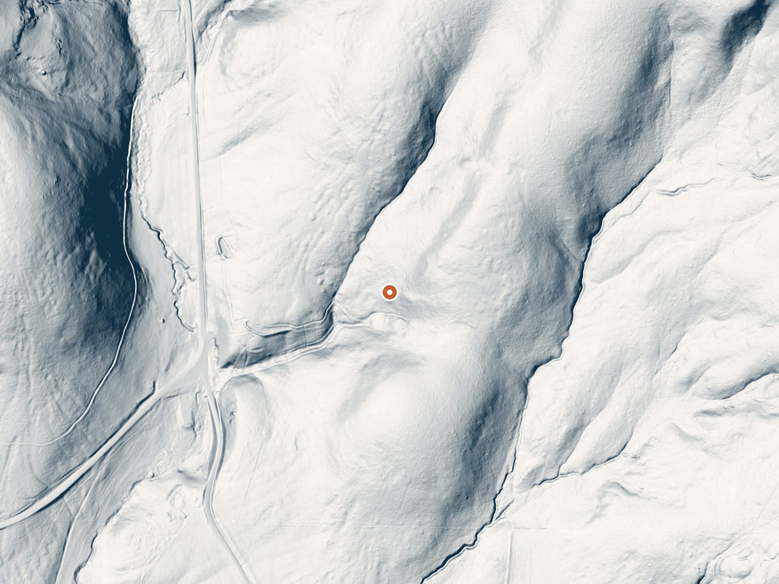
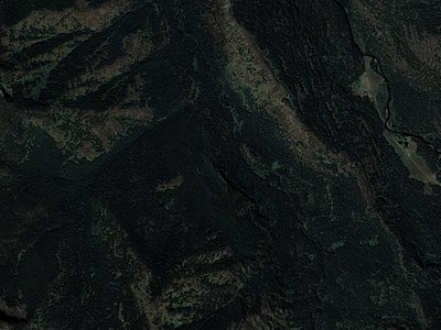
Drag the handle to compare the two views. The orange dot marks the spring, in a frame about three quarters of a mile wide.
Medical Hot Springs is a hot spring on the Medical Springs Highway in Union County, Oregon, about eighteen miles from Union. The water runs right at the line between hot and scalding. Neither ownership nor public access is recorded, so go in knowing that, and no USGS site number is attached to it.
A fifth of a mile from the highway at middle elevation. Moderate snow, modest precipitation. Buck Creek Forest Camp and Trailhead is the nearest camping listed, nine miles or so away.
Winter is the season on file. The source water is hot enough to burn; let it cool and test before any contact. Access and ownership are blank in the record, so check before you go. Camp at Buck Creek. No fee listed, and no chemistry on file. Nothing is said about a pool or any structure.
Aircraft with laser scanners measured this ground to within inches. The scan strips out trees and buildings, leaving the bare shape of the land around Medical Hot Springs.
- Setting
- Hillside
- The spring sits on a steep slope that climbs to the northeast.
- Highest ground nearby
- 237 ft above the spring
- Within a quarter mile, to the northeast
A slice through the ground from west to east, about 0.6 miles end to end.
Elevation data: USGS 3D Elevation Program. Aerial imagery: USGS The National Map. Public domain.
That's close to the US average of 65. It's higher than at 9% of the springs on this site.
Heat flow measures the warmth working its way up through the ground from deep inside the earth. Where it runs high, rain and snowmelt that seep down through cracks in the rock come back up hot.
See every spring on the geothermal heat map →
Heat flow estimate: Stanford Thermal Earth Model (Aljubran & Horne, 2024), CC BY 4.0.
Located on the western side of the Eagle Cap Wilderness and very close to the wilderness boundary, the Buck Creek Campground/Trailhead was built to meet the needs of both wilderness trail users and overnight campers. After crossing the Buck Creek Bridge off the North Fork Catherine Creek Road, the narrow dirt road travels through isolated forest and towering rock cliffs to the combination campground and trailhead.The area is also very popular for mushrooming in the Spring and berry picking in...
Springs Near Medical Hot Springs
More Springs Around 140°F
Hike 6 waterfalls near Medical Hot Springs
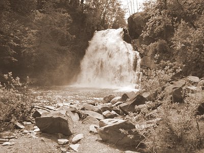
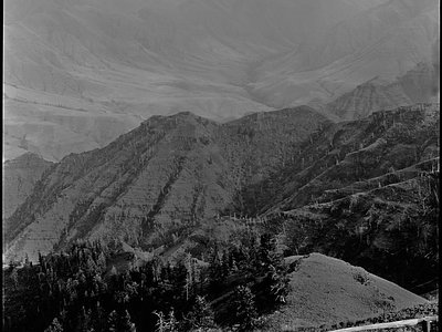
Looking for more outdoor adventures? Explore waterfall hikes near Medical Hot Springs, Oregon.