South Black Willow Spring
South Black Willow Spring is a tepid spring on public land right at Parma, in Canyon County according to the record. The water is a few degrees under body heat. It is BLM ground, open to the public, and the spring is a short walk off the road. This page has a photo on file, which is rare for an entry this modest.
The Vale Malheur Field Office administers the land, which carries a public designation. A few hundred feet of walking from the nearest road gets you there, and that road is not named on file. The elevation is low, a bit over two thousand feet, and this is dry country. Snow totals are low, about a foot in a typical winter.
Aim for December through February if you go. The water is too cool to count as a soak. No fee and no campground turn up in the record. Public land with open access means less to sort out beforehand than most of these, though the road has no name, so carry a map.
Aircraft with laser scanners measured this ground to within inches. The scan strips out trees and buildings, leaving the bare shape of the land around South Black Willow Spring.
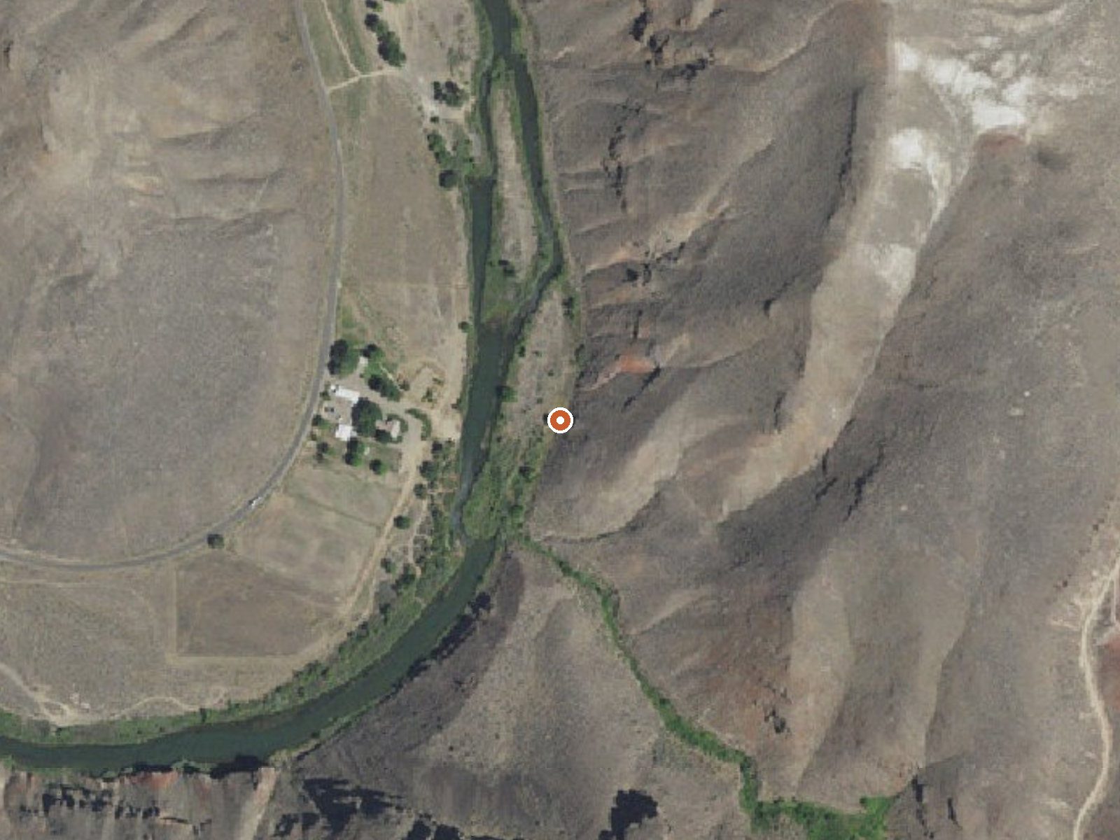
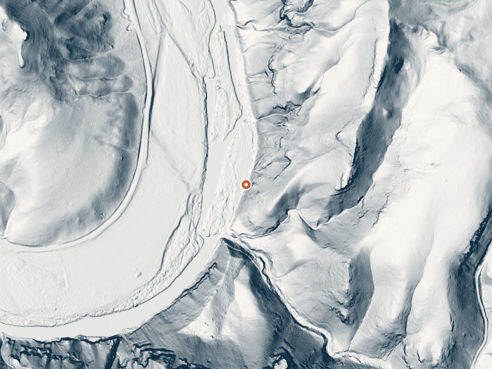
Drag the handle to compare the two views. The orange dot marks the spring, in a frame about three quarters of a mile wide.
- Setting
- Canyon floor
- Steep ground climbs away on both sides of the spring.
- Highest ground nearby
- 414 ft above the spring
- Within a quarter mile, to the east
A slice through the ground from southwest to northeast, about 0.6 miles end to end.
Elevation data: USGS 3D Elevation Program. Aerial imagery: USGS The National Map. Public domain.
That's about 1½ times the US average of 65. It's higher than at 26% of the springs on this site.
Heat flow measures the warmth working its way up through the ground from deep inside the earth. Where it runs high, rain and snowmelt that seep down through cracks in the rock come back up hot.
See every spring on the geothermal heat map →
Heat flow estimate: Stanford Thermal Earth Model (Aljubran & Horne, 2024), CC BY 4.0.
Some links are affiliate links. We may earn a commission at no extra cost to you.
South Black Willow Spring is road-accessible, so you can bring more gear.






As an Amazon Associate, we earn from qualifying purchases.
Springs Near South Black Willow Spring
More Springs Around 71°F
Hike 1 waterfall near South Black Willow Spring
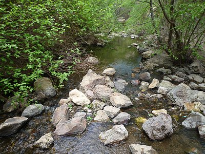
Looking for more outdoor adventures? Explore waterfall hikes near South Black Willow Spring, Oregon.