Unnamed Thermal Spring
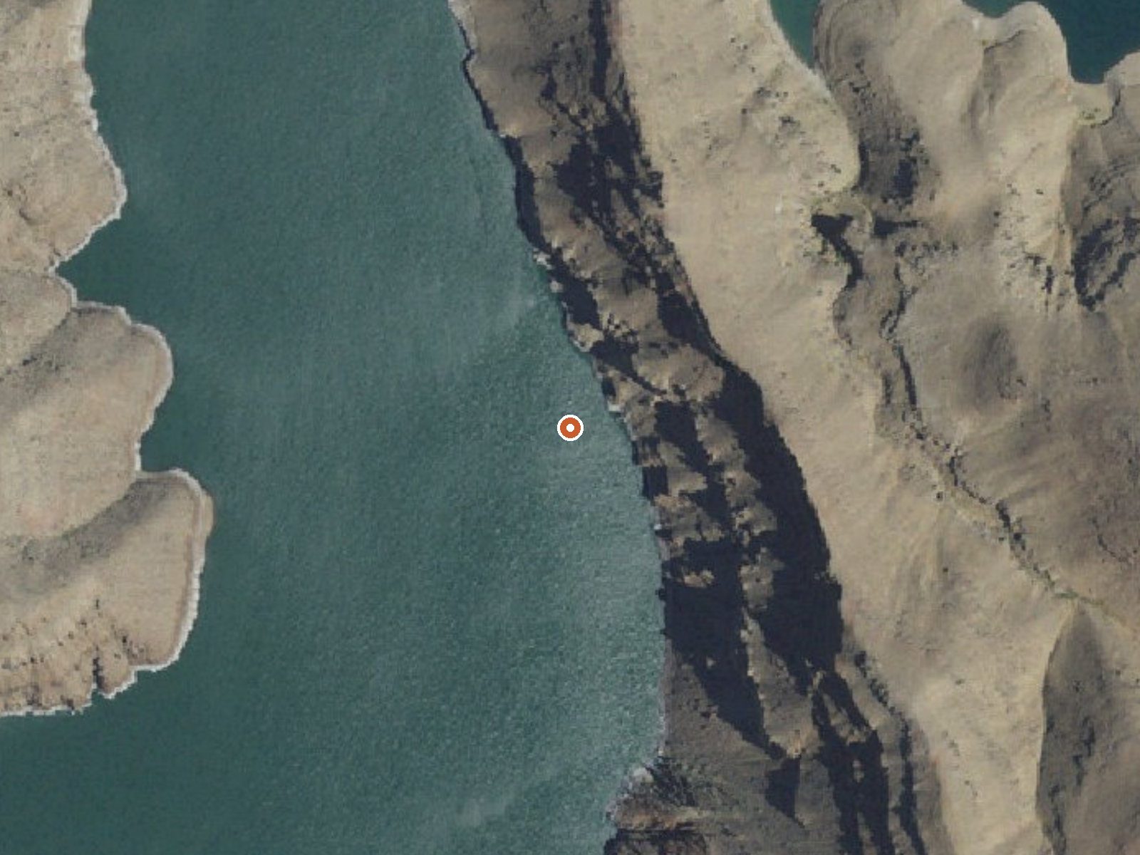
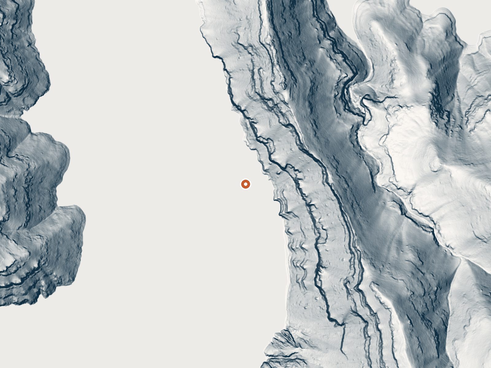
Drag the handle to compare the two views. The orange dot marks the spring, in a frame about three quarters of a mile wide.
Twenty miles out from Homedale in Owyhee County there is an unnamed thermal point that the record calls hot and little else. It gives no temperature. Ownership is blank. So is access status. It is classed as a hike, a little over two miles from the nearest road, which is a long way to walk toward a spring you may have no right to visit, so read this page as a pin on a map.
Two miles and a bit from a road that the record does not name, classed as a hike. Low desert, a bit above 2,600 feet, dry, with light snow. No land manager appears on file. Slocum Creek Campground is the nearest camping listed, though at eighteen miles it is not exactly next door.
The record offers no best months. Sort out land ownership before walking in; nothing on file says this is public. With no temperature recorded, a soak is not something to plan for. Camping is at Slocum Creek, a good eighteen miles away.
Aircraft with laser scanners measured this ground to within inches. The scan strips out trees and buildings, leaving the bare shape of the land around this spring.
- Setting
- Hillside
- The spring sits on a steep slope that climbs to the southeast.
- Highest ground nearby
- 539 ft above the spring
- Within a quarter mile, to the southeast
A slice through the ground from west to east, about 0.6 miles end to end.
Elevation data: USGS 3D Elevation Program. Aerial imagery: USGS The National Map. Public domain.
That's close to the US average of 65. It's higher than at 12% of the springs on this site.
Heat flow measures the warmth working its way up through the ground from deep inside the earth. Where it runs high, rain and snowmelt that seep down through cracks in the rock come back up hot.
See every spring on the geothermal heat map →
Heat flow estimate: Stanford Thermal Earth Model (Aljubran & Horne, 2024), CC BY 4.0.
Nestled in a side canyon near the mouth of Leslie Gulch, Slocum Creek Campground makes a good base for gulch explorations. Cool off in the waters of nearby Lake Owyhee or hike the Leslie Gulch Area of Critical Environmental Concern. The campground includes nine campsites, eight of which contain some accessible amenities. The low light of early morning and late evening transforms the abutting rock outcrops of Slocum Creek Wilderness Study Area into magnificent fiery wonder.Know Before You GoCa...
Springs Near This Spring
Hike 1 waterfall near this spring
Looking for more outdoor adventures? Explore waterfall hikes near this spring, Oregon.