Unnamed Thermal Spring
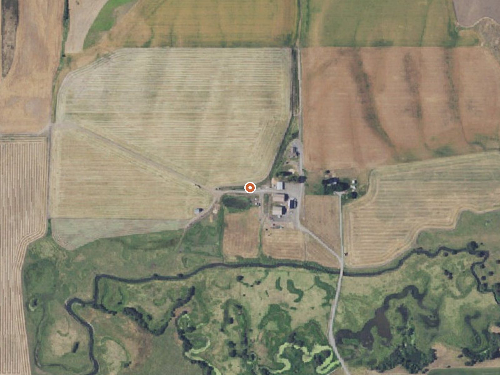
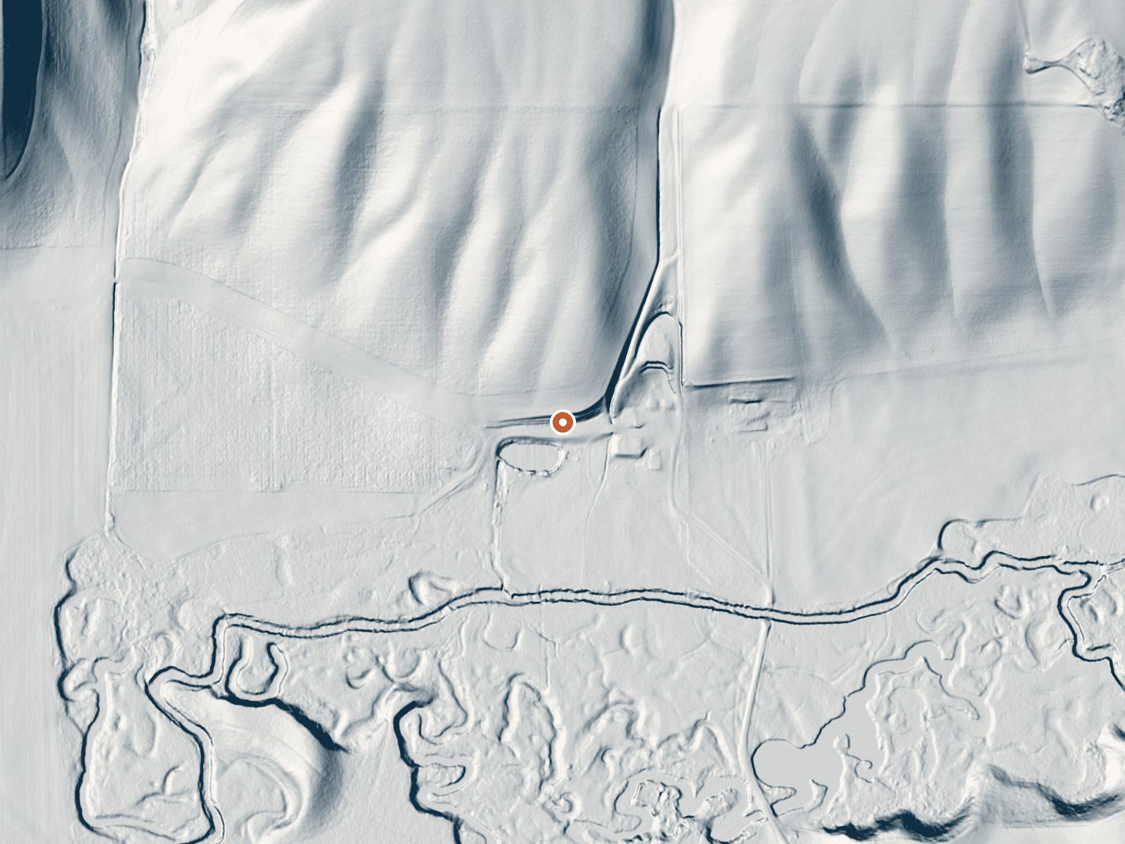
Drag the handle to compare the two views. The orange dot marks the spring, in a frame about three quarters of a mile wide.
An unnamed thermal point in Union County, five miles from Elgin, sitting a few steps off an unnamed road. The record lists it as warm with no measured temperature, so there is no way to say how warm from what is on file. There is no owner on file and no land unit. Access status is blank too. It is a dot on the map and little else.
Roadside, under five yards from the road, at about 2,700 feet outside Elgin. Snowfall runs over six and a half feet a year and precipitation over thirty inches, so expect snowy winters and a fair amount of rain. Summit Guard Station Bunkhouse, about twelve miles off, is the closest place to sleep that the record lists. Nothing on file describes the surroundings.
The record has no best months and no temperature for this one. Roadside access. Check ownership before stopping, since no access is on record. The bunkhouse at Summit Guard Station is the camping on file. No fee recorded.
Aircraft with laser scanners measured this ground to within inches. The scan strips out trees and buildings, leaving the bare shape of the land around this spring.
- Setting
- Gentle slope
- The ground tilts gently up to the north.
- Highest ground nearby
- 139 ft above the spring
- Within a quarter mile, to the north
A slice through the ground from south to north, about 0.6 miles end to end.
Elevation data: USGS 3D Elevation Program. Aerial imagery: USGS The National Map. Public domain.
That's close to the US average of 65. It's higher than at 1% of the springs on this site.
Heat flow measures the warmth working its way up through the ground from deep inside the earth. Where it runs high, rain and snowmelt that seep down through cracks in the rock come back up hot.
See every spring on the geothermal heat map →
Heat flow estimate: Stanford Thermal Earth Model (Aljubran & Horne, 2024), CC BY 4.0.
Overview Summit Guard Station Bunkhouse sets the stage for a truly relaxing getaway. Located on the breaks of Meacham Canyon in Umatilla National Forest, spectacular views of the Blue Mountains are guaranteed. The rustic bunkhouse, built by the Civilian Conservation Corps, dates back to 1938. The site of the cabin was the Summit Ranger Station in 1908, when the land was part of the Wenaha National Forest. Wenaha was one of the first national forests in the country, established in 1907. It w...
Springs Near This Spring
Hike 6 waterfalls near this spring
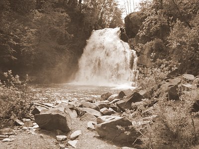

Looking for more outdoor adventures? Explore waterfall hikes near this spring, Oregon.