Red Bull Spring
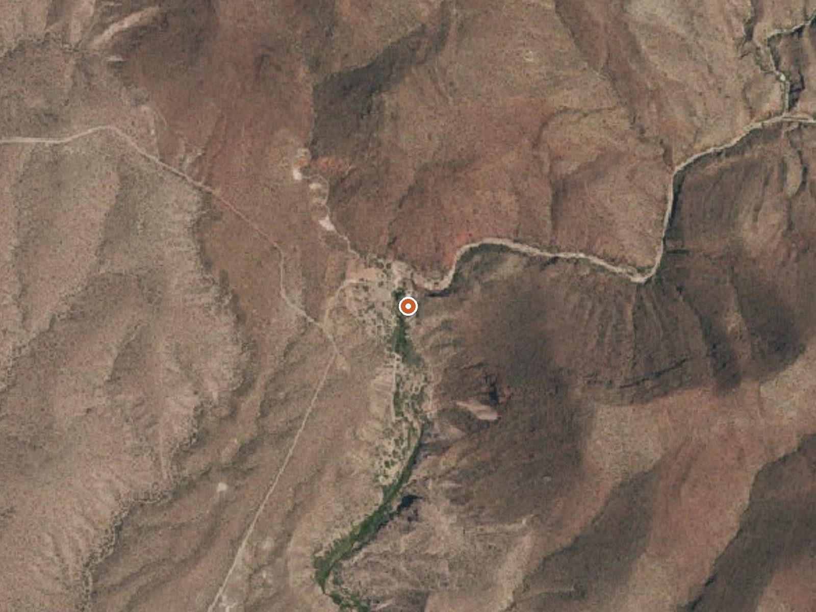
The orange dot marks the spring, in a frame about three quarters of a mile wide.
Red Bull Spring is a thermal point in Hudspeth County, West Texas, logged by the USGS about 22 miles out from Sierra Blanca. The water comes up at body temperature, warm enough to sit in if a pool exists, which the record does not say. Nobody has put down who owns the ground it rises on, and access is not on file either.
Chihuahuan Desert country. Rain comes in single digits for the year and snow barely registers, so dry is the default. A road runs under fifty yards from the spring, which puts it within a stone's throw. Which road, nobody wrote down. Land ownership is blank too, so assume a fence may be involved until you learn otherwise.
Winter is the comfortable window here, December through February, when the desert heat lets up. Summer would be punishing for a warm soak. Find out if this is private ground before you go; no access entry exists. The USGS survey supplied the temperature, so treat it as a reading and nothing more. No campground appears in the record.
USGS hasn't flown a detailed laser scan here yet, so this view comes from aerial photos and older elevation data.
- Setting
- Hillside
- The spring sits on a steep slope that climbs to the southeast.
- Highest ground nearby
- 359 ft above the spring
- Within a quarter mile, to the southeast
A slice through the ground from southwest to northeast, about 0.6 miles end to end.
Elevation data: USGS 3D Elevation Program. Aerial imagery: USGS The National Map. Public domain.
That's close to the US average of 65. It's higher than at 4% of the springs on this site.
Heat flow measures the warmth working its way up through the ground from deep inside the earth. Where it runs high, rain and snowmelt that seep down through cracks in the rock come back up hot.
See every spring on the geothermal heat map →
Heat flow estimate: Stanford Thermal Earth Model (Aljubran & Horne, 2024), CC BY 4.0.