W.R. Carter Springs
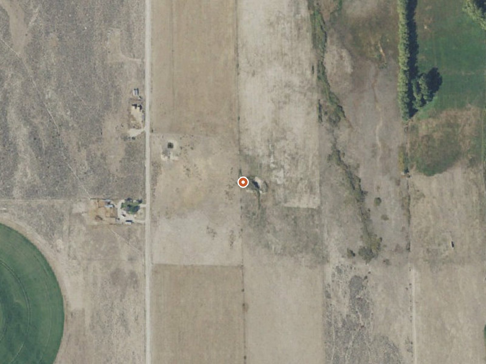
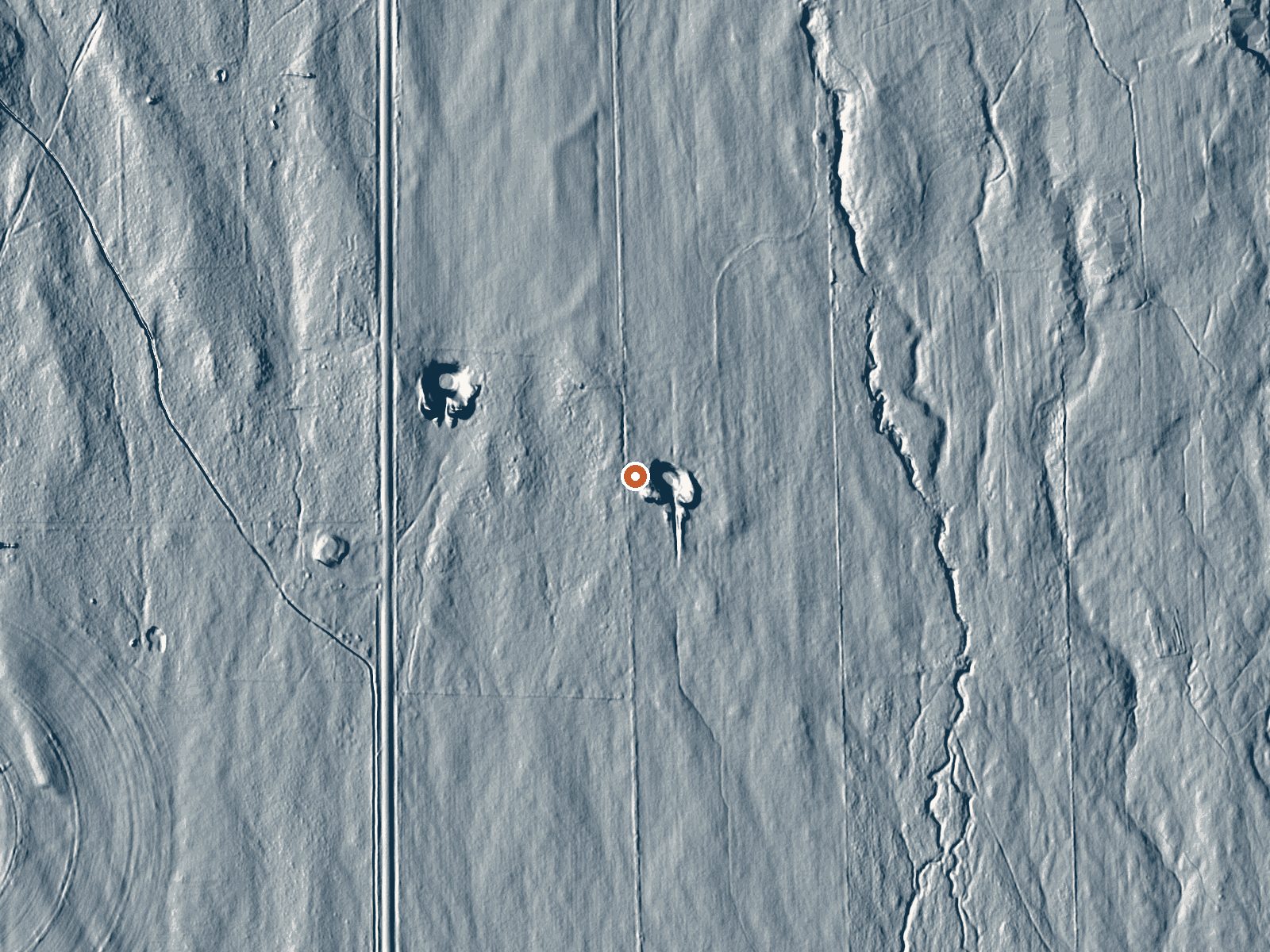
Drag the handle to compare the two views. The orange dot marks the spring, in a frame about three quarters of a mile wide.
W.R. Carter Springs is a tepid spring in Cassia County, about seventeen miles from Burley, carried in the USGS thermal inventory with a chemistry sample from 1966. The water has low mineral content and would feel cool to anyone expecting a hot soak. Ownership and access are not on record.
North 54000 West is the nearest road, a tenth of a mile away, so the walk in is short. The ground is upland, nearly fifty-five hundred feet, with a couple of feet of snow across winter and a dry year otherwise. No land owner or unit is on file.
Winter months are listed as best. Clear Creek Campground is ten miles off. Since the record lacks an owner and an access status, and the temperature is sixty years old, verify both before you plan around it. The water is mild enough to be a curiosity ahead of a bath.
Aircraft with laser scanners measured this ground to within inches. The scan strips out trees and buildings, leaving the bare shape of the land around W.R. Carter Springs.
- Setting
- Open ground
- Flat, open ground all around.
- Highest ground nearby
- 34 ft above the spring
- Within a quarter mile, to the north
A slice through the ground from north to south, about 0.6 miles end to end.
Elevation data: USGS 3D Elevation Program. Aerial imagery: USGS The National Map. Public domain.
That's about twice the US average of 65. It's higher than at 91% of the springs on this site.
Heat flow measures the warmth working its way up through the ground from deep inside the earth. Where it runs high, rain and snowmelt that seep down through cracks in the rock come back up hot.
See every spring on the geothermal heat map →
Heat flow estimate: Stanford Thermal Earth Model (Aljubran & Horne, 2024), CC BY 4.0.
The water at W.R. Carter Springs is slightly alkaline (pH 8.1) with 292 mg/L total dissolved solids.
Clear Creek Campground is a non-fee campground and picnic area composed of 12 individual units and reservations are not required. This area is accessible for a season that varies usually between June through October. Campground amenities include toilets and the campground is well suited for tent and RV camping. Sites are handicapped accessible. Bull Flat (#001) and Lake Fork (#004) trails are popular with horseback riders, and hikers.
W.R. Carter Springs sits at 5,445 feet above sea level, way above the mile-high mark. You may not feel the altitude strongly, but hot water still dehydrates you faster at elevation. UV is about 22% stronger than at sea level, so bring sunscreen and drink more water than you normally would.



As an Amazon Associate, we earn from qualifying purchases.
Springs Near W.R. Carter Springs
More Springs Around 70°F
Slightly Alkaline Springs (pH ~8.1)
Hike 1 waterfall near W.R. Carter Springs
Looking for more outdoor adventures? Explore waterfall hikes near W.R. Carter Springs, Utah.