Hot Lake In Bottom Of Crater Peak
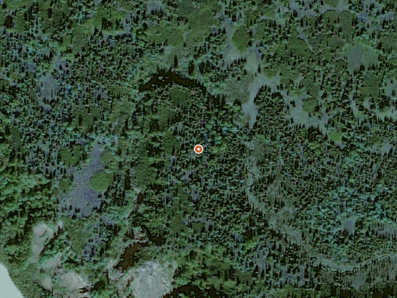
The orange dot marks the spring, in a frame about three quarters of a mile wide.
Hot Lake In Bottom Of Crater Peak is what the name says, a heated lake inside a crater, and the record holds almost nothing else about it. No temperature, no elevation. It sits on tribal land within the Knik Alaska Native Village Statistical Area in Kenai Peninsula Borough, with Nikiski the nearest town at about thirty-eight miles, and public access is marked unknown.
The record classes it as a hike, roughly three and a half miles off a road that goes unnamed. Snow on file comes to a bit under seven feet a year and the year averages in the mid thirties, with around three feet of precipitation. No cabin or campground appears.
Unknown access on tribal land means asking before going. Best months are not recorded. The qualifier says hot but there is no number, so assume the water could burn until you have measured it. The name puts it on a peak; how hard the approach is does not appear on file.
USGS hasn't flown a detailed laser scan here yet, so this view comes from aerial photos and older elevation data.
- Setting
- Open ground
- Flat, open ground all around.
- Highest ground nearby
- 44 ft above the spring
- Within a quarter mile, to the northeast
A slice through the ground from southwest to northeast, about 0.6 miles end to end.
Elevation data: USGS 3D Elevation Program. Aerial imagery: USGS The National Map. Public domain.