Upper Klawasi Warm Springs
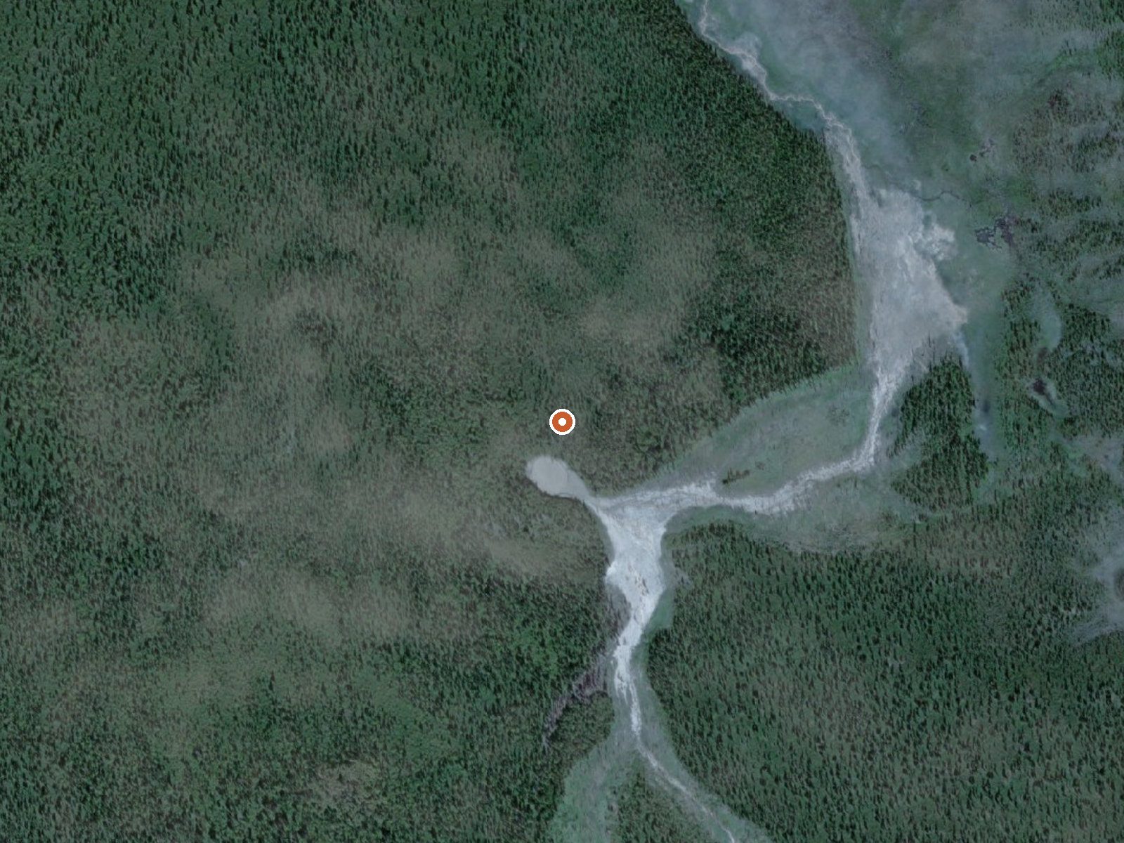
The orange dot marks the spring, in a frame about three quarters of a mile wide.
Upper Klawasi Warm Springs, Valdez-Cordova Census Area, is about 80 miles from Valdez and high up. The name promises warm water; the record carries no temperature to back that up. No access status appears, and no owner. A 1973 USGS sample found a near-neutral pH with sodium and chloride among the dissolved minerals, and that sample is the only hard data attached.
Backcountry. Silver Springs Loop Road is the nearest road, something over eleven miles off. Nothing in the file describes the ground between. Winters average below freezing, with close to six feet of snow and moderate precipitation. No unit or designation is recorded.
Find out who owns the land first, because the row does not say. Temperature is unmeasured, so the word warm in the name is the only hint, and a 1973 chemistry sample does not settle it. Summer only, given the snow. Fee and campground fields are empty.
USGS hasn't flown a detailed laser scan here yet, so this view comes from aerial photos and older elevation data.
- Setting
- Open ground
- Flat, open ground all around.
- Highest ground nearby
- 2 ft above the spring
- Within a quarter mile, to the west
A slice through the ground from west to east, about 0.6 miles end to end.
Elevation data: USGS 3D Elevation Program. Aerial imagery: USGS The National Map. Public domain.
The water at Upper Klawasi Warm Springs is neutral (pH 7.1). It is notably rich in magnesium (known for muscle relaxation and stress relief), sodium (supports circulation and skin hydration), and sulfate (traditionally used for skin conditions and inflammation).
Springs Near Upper Klawasi Warm Springs
Neutral Springs (pH ~7.1)
Hike 2 waterfalls near Upper Klawasi Warm Springs
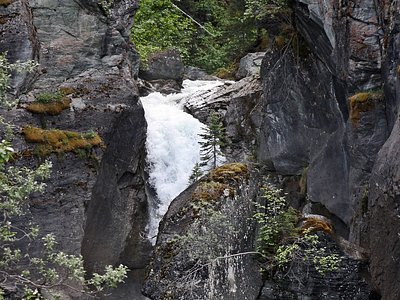
Looking for more outdoor adventures? Explore waterfall hikes near Upper Klawasi Warm Springs, Alaska.