Hot Spring Near Little Minook Cr
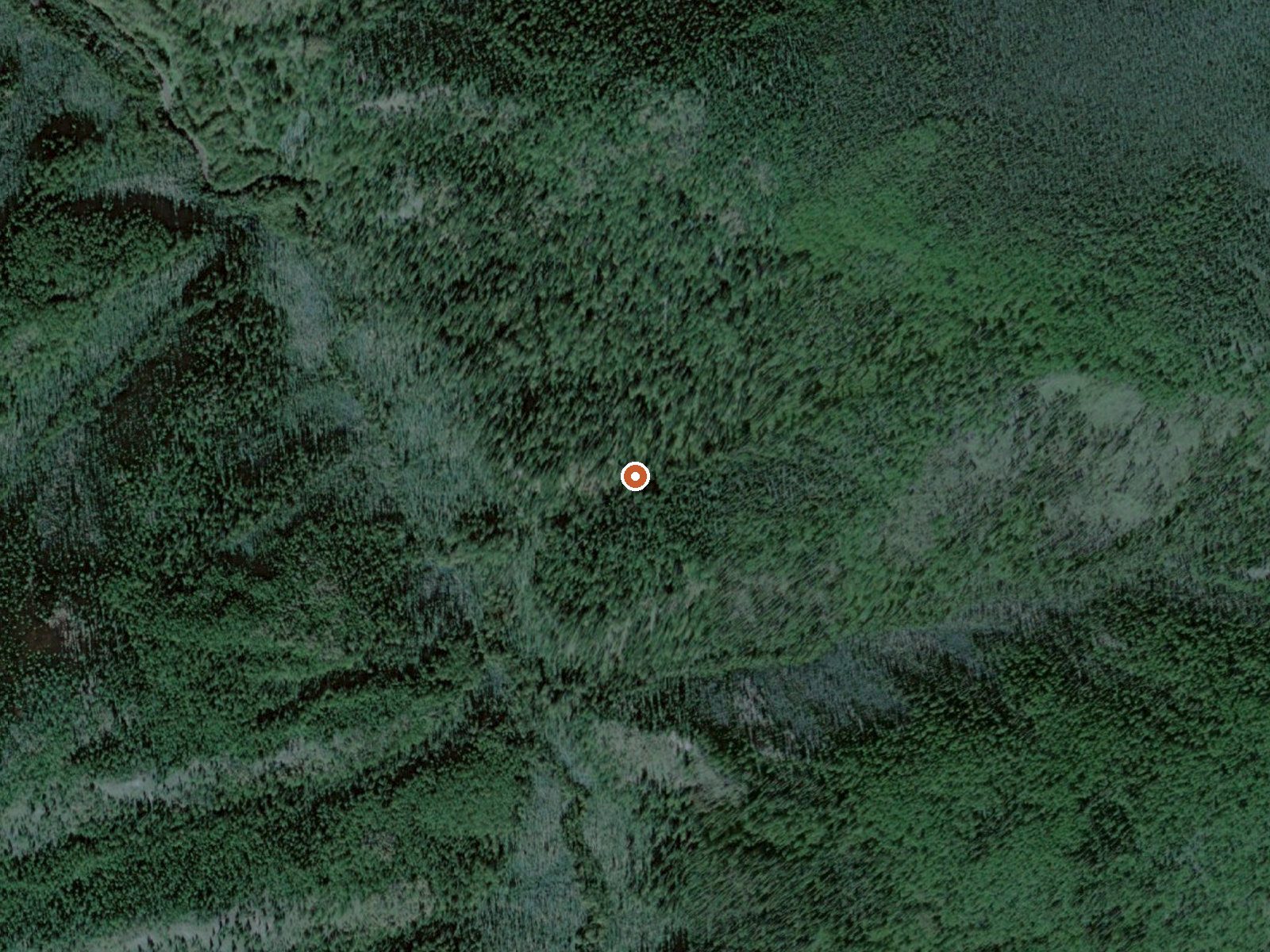
The orange dot marks the spring, in a frame about three quarters of a mile wide.
Hot Spring Near Little Minook Cr is a Denali Borough thermal point on state-owned ground listed as tentatively approved state land, about a hundred miles from Healy. The qualifier says hot; no temperature is recorded. Access is a question mark.
A mile and a half of hiking off a road the record calls Mining Trail. The elevation is not on file. Dry, cold country; the annual average lands in the mid twenties and snow stays under four feet. The record lists no campground and files the approach under hike.
No best months. Hot with no number means test the water before getting in. Unknown access on state land; confirm before you count on it. No fee or chemistry on file. Bring your own read on the temperature; none exists here.
USGS hasn't flown a detailed laser scan here yet, so this view comes from aerial photos and older elevation data.
- Setting
- Canyon floor
- Steep ground climbs away on both sides of the spring.
- Highest ground nearby
- 533 ft above the spring
- Within a quarter mile, to the east
A slice through the ground from northwest to southeast, about 0.6 miles end to end.
Elevation data: USGS 3D Elevation Program. Aerial imagery: USGS The National Map. Public domain.