Hutlinana Hot Springs
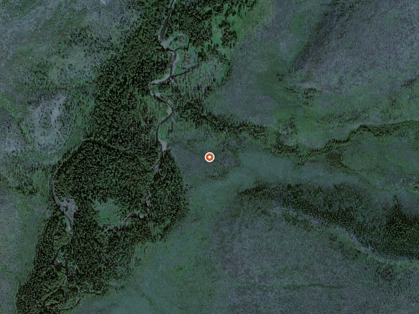
The orange dot marks the spring, in a frame about three quarters of a mile wide.
A second record for Hutlinana Hot Springs places it on state patented land, about two and a half miles off the Elliott Highway. Access is listed as unknown. The water has a 1931 analysis behind it and no temperature. Healy, around 92 miles away, is the town the record names, and the borough is Denali.
Getting there is a hike from the Elliott Highway. The ground is held by the State of Alaska Department of Natural Resources. Interior climate, cold and dry, with winter snow in the moderate range. Wikipedia's entry mentions no road to the spring itself; the route is a winter trail.
With access unknown and the land under state title, check with the state before going. The sample on file is from 1931, so the chemistry may have shifted. No season is named, though Wikipedia's note about winter use is worth heeding. No campground is listed.
The Wikipedia entry puts the spring 21 miles southeast of Rampart on Hutlinana Creek, reached by a trail that sees use mainly after freeze-up. The US Geological Survey has a sampling station here.
USGS hasn't flown a detailed laser scan here yet, so this view comes from aerial photos and older elevation data.
- Setting
- Gentle slope
- The ground tilts gently up to the southeast.
- Highest ground nearby
- 248 ft above the spring
- Within a quarter mile, to the southeast
A slice through the ground from northwest to southeast, about 0.6 miles end to end.
Elevation data: USGS 3D Elevation Program. Aerial imagery: USGS The National Map. Public domain.
The water at Hutlinana Hot Springs contains 615 mg/L total dissolved solids.
Some links are affiliate links. We may earn a commission at no extra cost to you.
Hutlinana Hot Springs is road-accessible, so you can bring more gear. Cold air temperatures make a changing robe or warm layers essential.






As an Amazon Associate, we earn from qualifying purchases.