Ray River Hot Spring
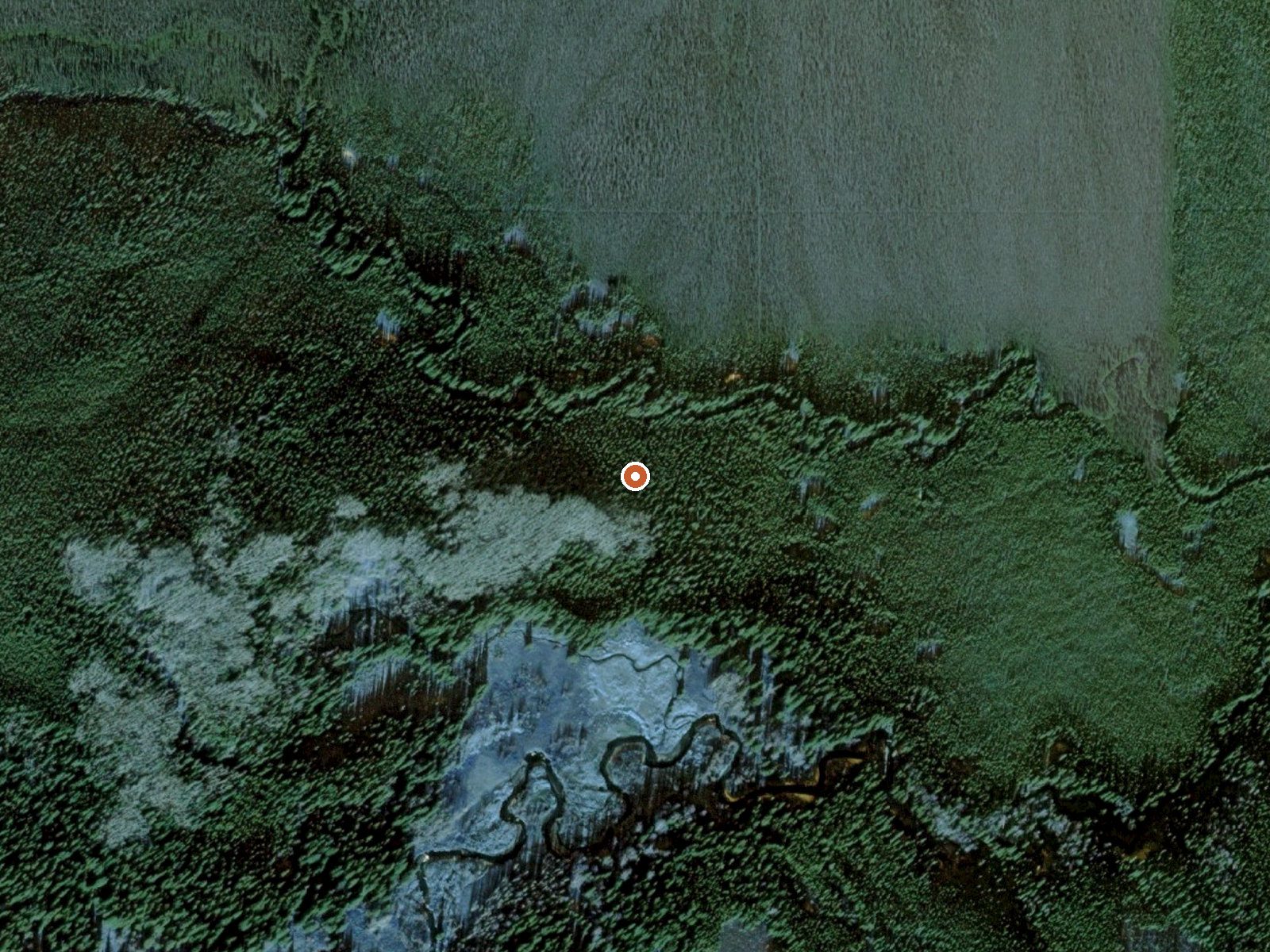
The orange dot marks the spring, in a frame about three quarters of a mile wide.
Ray River Hot Spring lies 22 miles from the Dalton Highway, open to the public, in Denali Borough on ground the Bureau of Land Management manages. Healy is about 150 miles off. No temperature and no photo. No campground either. The record says it is there and that you may go.
A little over eight hundred feet up, in dry interior country averaging in the mid twenties with moderate snow. The Dalton Highway serves as the reference road, and the full distance from it is backcountry. Management falls to the BLM's Central Yukon office.
Best months are not on file. The distance from the highway makes this a multi day undertaking, and nobody has measured what waits at the end. Access is open with no fee recorded. Camping: nothing on file.
USGS hasn't flown a detailed laser scan here yet, so this view comes from aerial photos and older elevation data.
- Setting
- Gentle slope
- The ground tilts gently up to the west.
- Highest ground nearby
- 88 ft above the spring
- Within a quarter mile, to the west
A slice through the ground from west to east, about 0.6 miles end to end.
Elevation data: USGS 3D Elevation Program. Aerial imagery: USGS The National Map. Public domain.