Serpentine Hot Springs

Serpentine Hot Springs is a National Park Service site in Bering Land Bridge National Preserve, about 95 miles from Nome, with open access. The water tested slightly alkaline in 1976 with iron and chloride present. Temperature has not been taken. A photograph exists for this one.
Twelve miles separate it from a road with no name attached, at about 450 feet. Backcountry. The preserve carries a National Conservation Area designation. Climate runs cold and dry, mid twenties on average, moderate snow.
No best months listed. Open access under the Park Service, fee unrecorded, campground absent from the record. The 1976 sample is the only chemistry, and temperature was never logged. Ask the preserve about current conditions.
The USGS holds a site record for Serpentine and sampled the water in July 1976.
USGS hasn't flown a detailed laser scan here yet, so this view comes from aerial photos and older elevation data.
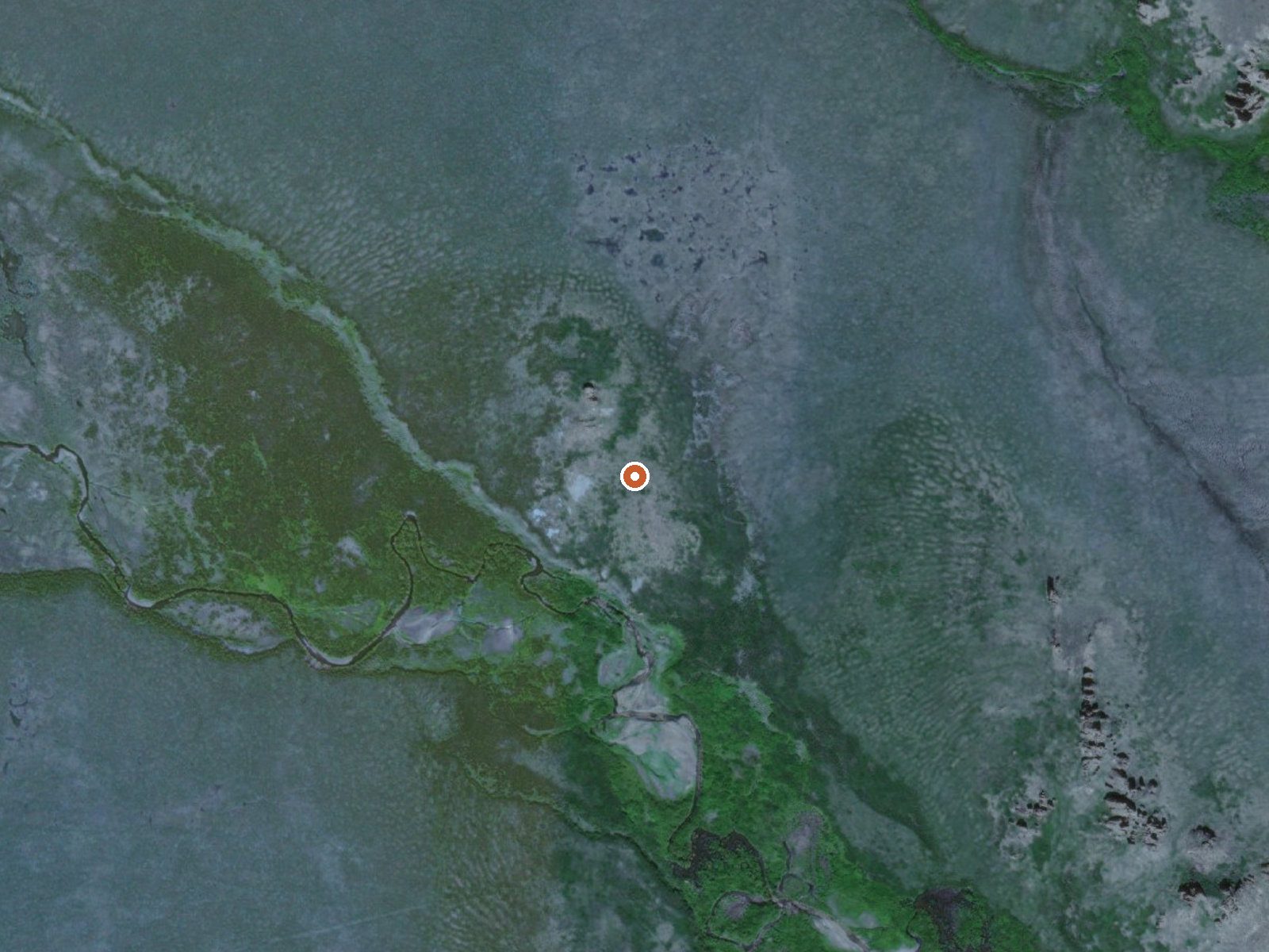
The orange dot marks the spring, in a frame about three quarters of a mile wide.
- Setting
- Open ground
- Flat, open ground all around.
- Highest ground nearby
- 44 ft above the spring
- Within a quarter mile, to the southeast
A slice through the ground from northwest to southeast, about 0.6 miles end to end.
Elevation data: USGS 3D Elevation Program. Aerial imagery: USGS The National Map. Public domain.
The water at Serpentine Hot Springs is slightly alkaline (pH 7.8). It is notably rich in sodium (supports circulation and skin hydration) and chloride (natural antiseptic with skin health benefits).
Some links are affiliate links. We may earn a commission at no extra cost to you.
Serpentine Hot Springs requires a hike to reach, so pack light but prepared. Cold air temperatures make a changing robe or warm layers essential.






As an Amazon Associate, we earn from qualifying purchases.