California Hot Springs
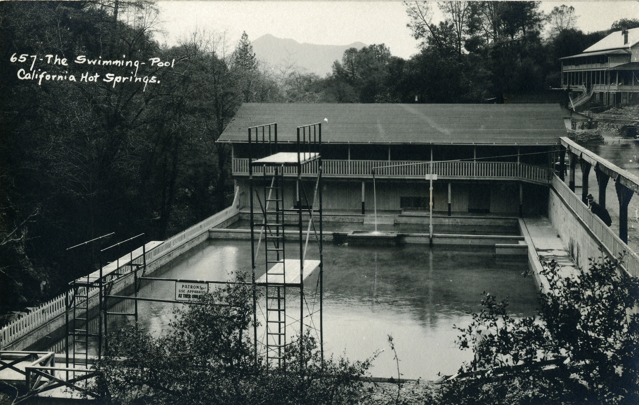
California Hot Springs gave its name to the small community around it in the southern Sierra foothills. The water comes out hot, well above anything a body can sit in without cooling. It lies a stone's throw off Hot Springs Drive. Nobody has recorded who may use it. The nearest town we list for this entry is unreliable, so go by the county and the map.
Foothill country a bit over three thousand feet up, where the Sierra begins to lift out of the valley. The spring is roadside, a few dozen paces from Hot Springs Drive. Snow falls in winter and rainfall is moderate. Land ownership is not on file. Holey Meadow campground is the closest we list, around six miles off.
Our data names the winter months as best, which is also when snow is most likely on the roads. Holey Meadow is the place to camp. The water is above 110 degrees, so test it before putting a hand in. There is no fee record and nothing on access, so confirm the spring is open before making the drive.
The community is a census designated place in its own right and used to go by Deer Creek Hot Springs. Wikipedia puts it twenty miles east of Ducor and notes that it keeps its own post office.
Aircraft with laser scanners measured this ground to within inches. The scan strips out trees and buildings, leaving the bare shape of the land around California Hot Springs.
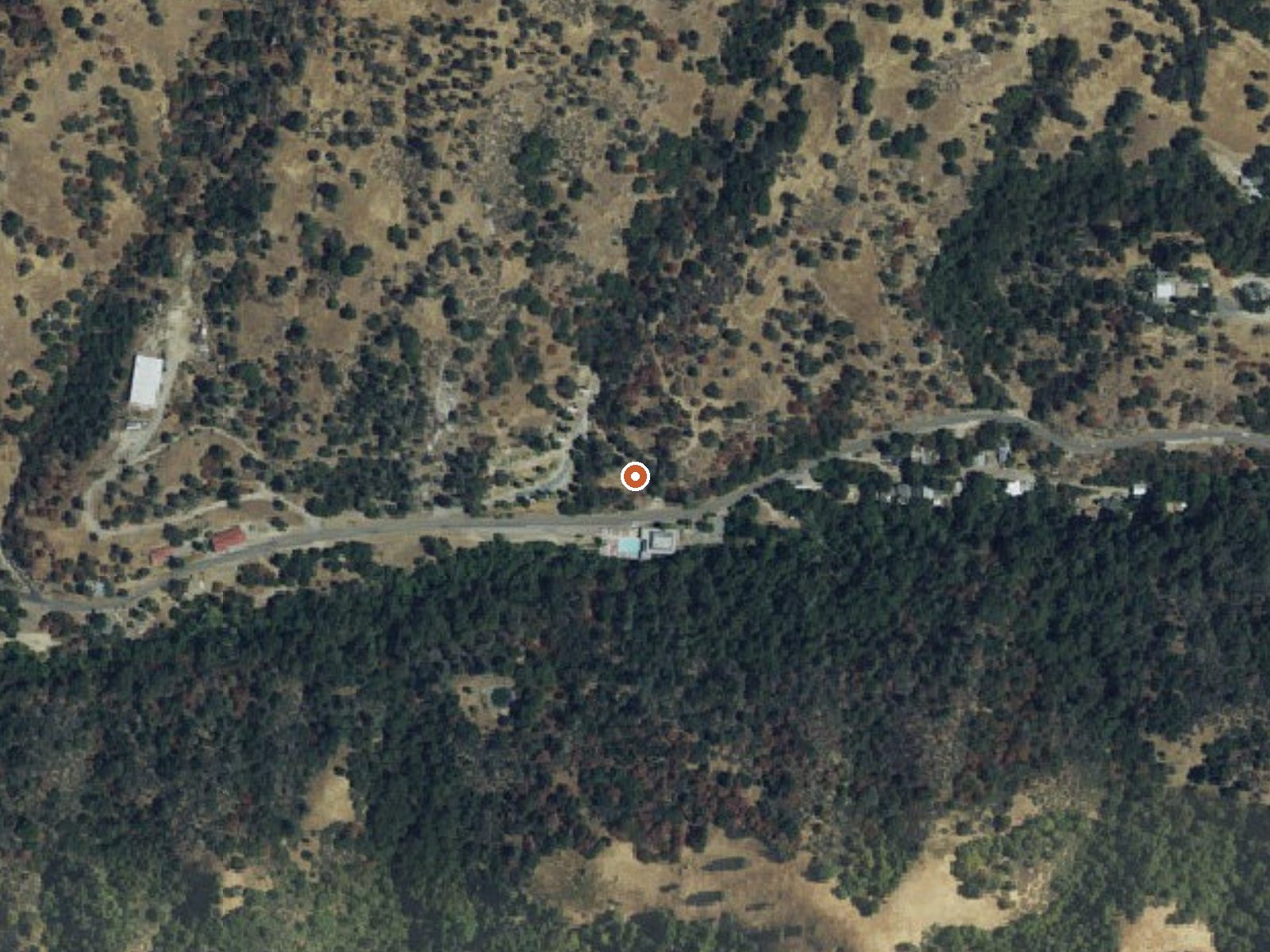
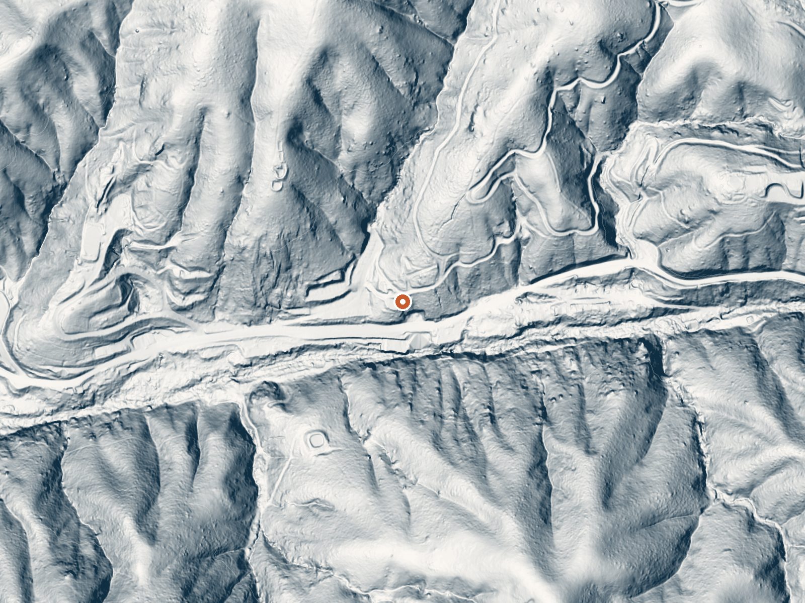
Drag the handle to compare the two views. The orange dot marks the spring, in a frame about three quarters of a mile wide.
- Setting
- Canyon floor
- Steep ground climbs away on both sides of the spring.
- Highest ground nearby
- 426 ft above the spring
- Within a quarter mile, to the south
A slice through the ground from north to south, about 0.6 miles end to end.
Elevation data: USGS 3D Elevation Program. Aerial imagery: USGS The National Map. Public domain.
That's close to the US average of 65. It's higher than at 2% of the springs on this site.
Heat flow measures the warmth working its way up through the ground from deep inside the earth. Where it runs high, rain and snowmelt that seep down through cracks in the rock come back up hot.
See every spring on the geothermal heat map →
Heat flow estimate: Stanford Thermal Earth Model (Aljubran & Horne, 2024), CC BY 4.0.
Some links are affiliate links. We may earn a commission at no extra cost to you.
Overview The Sequoia National Forest, located at the southern end of the Sierra Nevada in central California, takes its name from the giant sequoia, the world's largest tree, which grows in more than 30 groves on the Forest's lower slopes. The Forest comprises about 1.1 million acres. Elevations range from about 1,000 to 12,000 feet, creating precipitous canyons and mountain streams with spectacular waterfalls such as Salmon Creek Falls near Fairview and Grizzly Falls on the Kings River. T...
California Hot Springs is road-accessible, so you can bring more gear. The water runs hot, so extra hydration is key.





As an Amazon Associate, we earn from qualifying purchases.
Springs Near California Hot Springs
More Springs Around 122°F
Hike 6 waterfalls near California Hot Springs
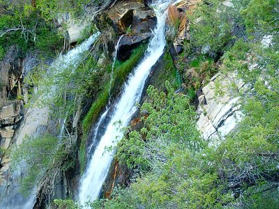
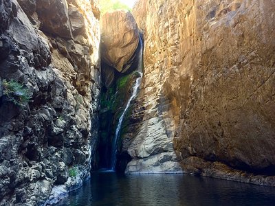
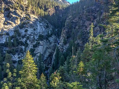
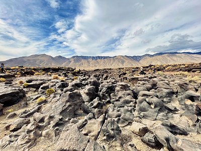
Looking for more outdoor adventures? Explore waterfall hikes near California Hot Springs, California.