Democrat Hot Springs
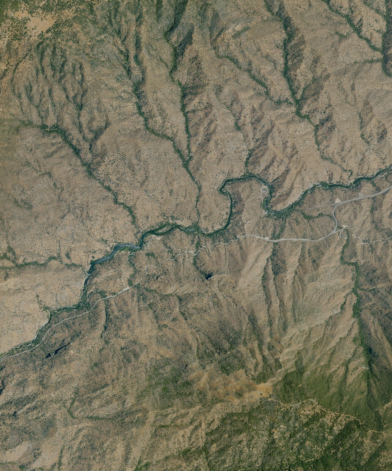
Democrat Hot Springs rises on the south bank of the Kern River in Sequoia National Forest, on the north side of Route 178. Open access, per our records. The water runs hot, past the point where most people can step straight in. Bodfish is about eleven miles away, and the Oak Flat Lookout campground is close by.
Lower Kern canyon, national forest land. The spring lies a few hundred feet off the highway, a short walk from Route 178. Winters bring light rain and a dusting of snow. Oak Flat Lookout campground is about two and a half miles away, the nearest camping we have on file.
Best months per our data run December to February. The spring is open, on Forest Service land, and a short walk from the road. Oak Flat Lookout is the campground to use. Hot enough to hurt, past 110, so test it first. Nothing in our records about a fee.
Wikipedia says the spring was named for the Democratic political party. It sits 17 miles northeast of Bakersfield, on the south bank of the Kern River and the north side of State Route 178.
Aircraft with laser scanners measured this ground to within inches. The scan strips out trees and buildings, leaving the bare shape of the land around Democrat Hot Springs.
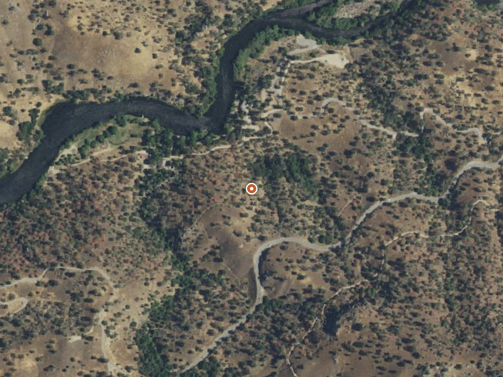
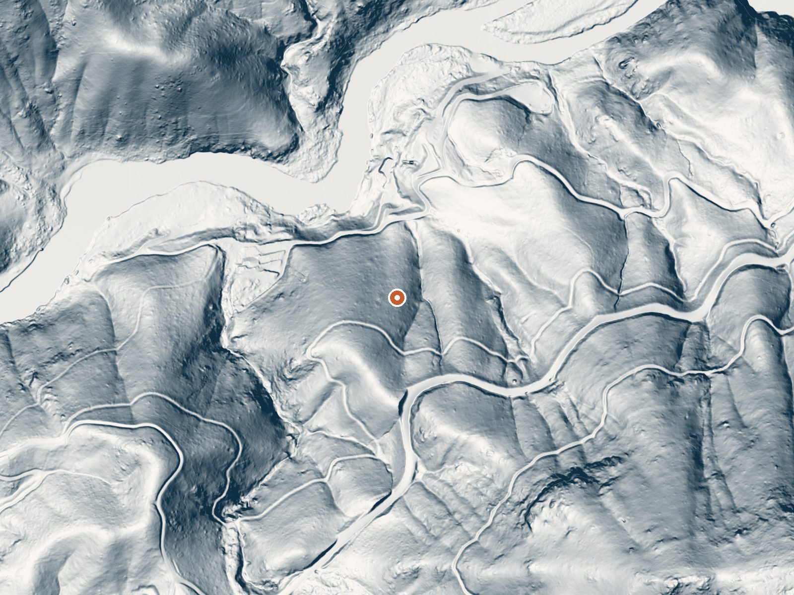
Drag the handle to compare the two views. The orange dot marks the spring, in a frame about three quarters of a mile wide.
- Setting
- Hillside
- The spring sits on a steep slope that climbs to the southeast.
- Highest ground nearby
- 533 ft above the spring
- Within a quarter mile, to the southeast
A slice through the ground from southwest to northeast, about 0.6 miles end to end.
Elevation data: USGS 3D Elevation Program. Aerial imagery: USGS The National Map. Public domain.
That's close to the US average of 65. It's higher than at 9% of the springs on this site.
Heat flow measures the warmth working its way up through the ground from deep inside the earth. Where it runs high, rain and snowmelt that seep down through cracks in the rock come back up hot.
See every spring on the geothermal heat map →
Heat flow estimate: Stanford Thermal Earth Model (Aljubran & Horne, 2024), CC BY 4.0.
Some links are affiliate links. We may earn a commission at no extra cost to you.
Overview The Oak Flat Lookout sits the Greenhorn Mountains in the Sequoia National Forest and Sequoia National Monument, about an hour from Bakersfield, California. Perched at an elevation of 4,900 feet, the tower overlooks the scenic Kern River and Kern River Valley and has panoramic views of the mountains, river and valley. Oak Flat Lookout was constructed in 1934 to provide fire detection views along the Kern River Canyon. In the early years of the Forest Service, lookouts provided a cru...
Democrat Hot Springs is road-accessible, so you can bring more gear. The water runs hot, so extra hydration is key.




As an Amazon Associate, we earn from qualifying purchases.
Springs Near Democrat Hot Springs
More Springs Around 115°F
Hike 3 waterfalls near Democrat Hot Springs
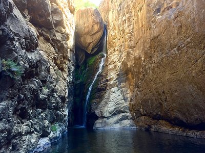
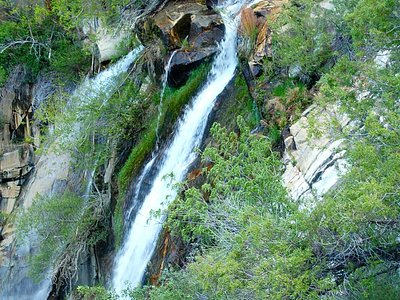
Looking for more outdoor adventures? Explore waterfall hikes near Democrat Hot Springs, California.