Delonegha Hot Springs
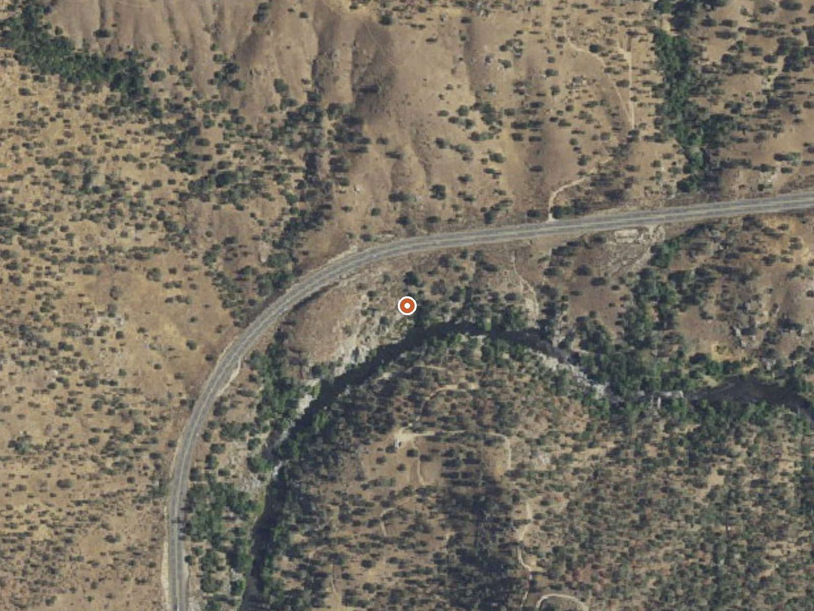
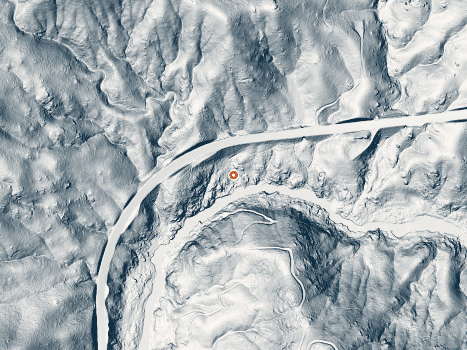
Drag the handle to compare the two views. The orange dot marks the spring, in a frame about three quarters of a mile wide.
Delonegha Hot Springs sits right off Route 178 in the Kern River canyon, one of a string of hot springs along that highway southwest of Lake Isabella. The water is hot, a few degrees past what most people can ease into, and the spring is within Sequoia National Forest according to Wikipedia. Bodfish, under eight miles away, is the nearest town. Public access is not recorded in our data.
Kern River canyon, low elevation, with the highway running right past. Route 178 is less than a hundred yards off, and Wikipedia describes the way down as a steep dirt trail. Snow and rain are both light. Sandy Flat campground is the nearest, a few miles away, and the land, per Wikipedia, belongs to Sequoia National Forest.
Winter is the listed season. The spring counts as roadside by our classification, though the descent from the highway is steep by Wikipedia's account. Sandy Flat campground is close. Water above 110 degrees can burn, so check it before getting in. No fee on record and no access record either; national forest land is the only clue.
Wikipedia places Delonegha northeast of Bakersfield and southwest of Lake Isabella, one of several hot springs strung along the Kern River and State Route 178. The springs lie inside Sequoia National Forest, reached by a short steep dirt path off the highway.
Aircraft with laser scanners measured this ground to within inches. The scan strips out trees and buildings, leaving the bare shape of the land around Delonegha Hot Springs.
- Setting
- Canyon floor
- Steep ground climbs away on both sides of the spring.
- Highest ground nearby
- 406 ft above the spring
- Within a quarter mile, to the north
A slice through the ground from north to south, about 0.6 miles end to end.
Elevation data: USGS 3D Elevation Program. Aerial imagery: USGS The National Map. Public domain.
That's close to the US average of 65. It's higher than at 10% of the springs on this site.
Heat flow measures the warmth working its way up through the ground from deep inside the earth. Where it runs high, rain and snowmelt that seep down through cracks in the rock come back up hot.
See every spring on the geothermal heat map →
Heat flow estimate: Stanford Thermal Earth Model (Aljubran & Horne, 2024), CC BY 4.0.
Some links are affiliate links. We may earn a commission at no extra cost to you.
Overview Sandy Flat Campground is set back from the Lower Kern River at an altitude of 2,300 feet near the town of Lake Isabella. Campsites are a short walk from the river, offering countless recreational opportunities for visitors. Recreation Hiking, trout fishing, river wading and floating are popular pursuits. The Hobo Fishing Trail, a short walking trail, is nearby. Click here to learn more about the Lower Kern River, including safety and permitting requirements and a listing of local...
Delonegha Hot Springs is road-accessible, so you can bring more gear. The water runs hot, so extra hydration is key.





As an Amazon Associate, we earn from qualifying purchases.
Springs Near Delonegha Hot Springs
More Springs Around 112°F
Hike 4 waterfalls near Delonegha Hot Springs
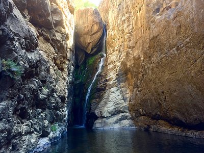
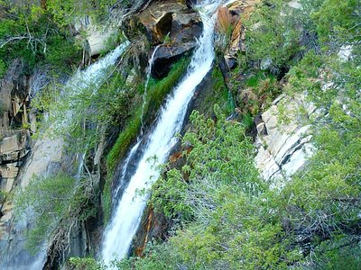
Looking for more outdoor adventures? Explore waterfall hikes near Delonegha Hot Springs, California.