Desert Hot Springs (Thermal Mineral Springs)
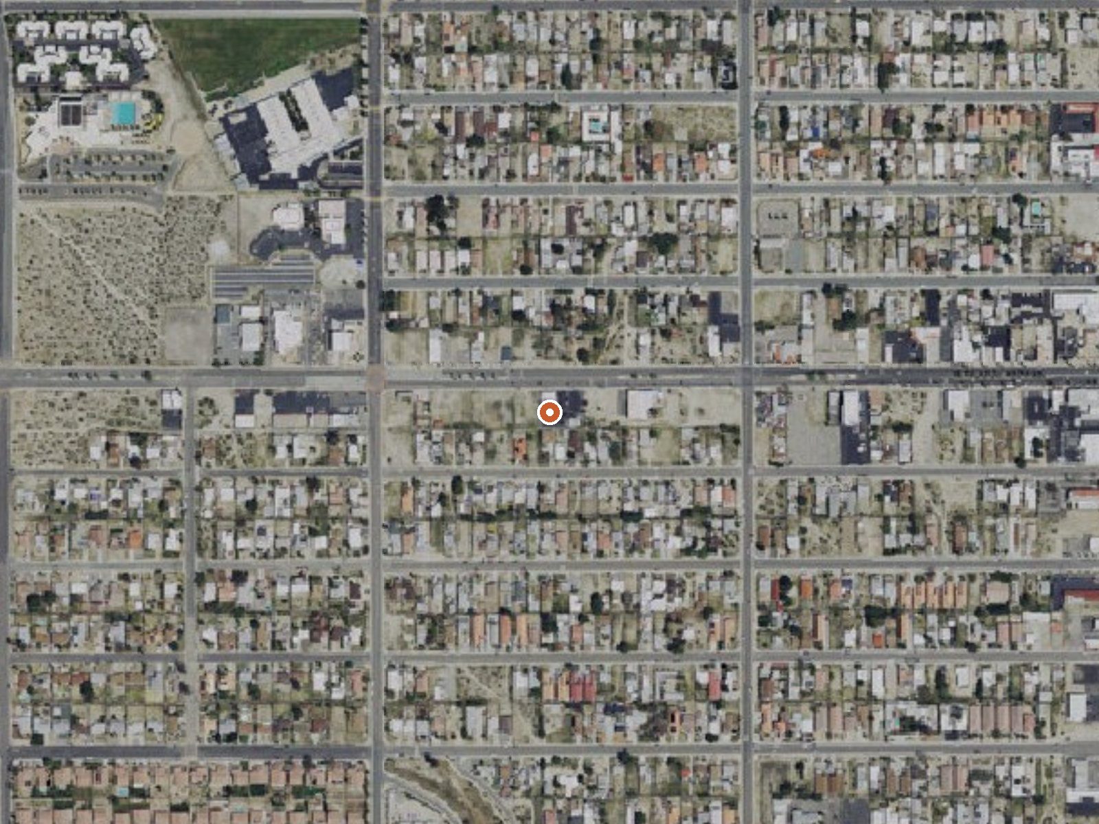
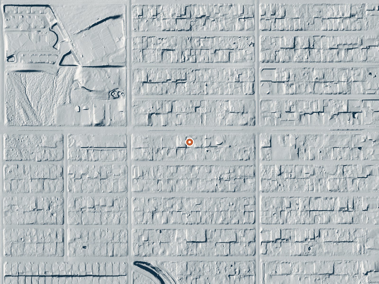
Drag the handle to compare the two views. The orange dot marks the spring, in a frame about three quarters of a mile wide.
This entry covers a geothermal area, the zone of hot ground under and around the city of Desert Hot Springs in Riverside County, with the mapped point about two miles from the center of town. The heat here comes up through drilled wells, and around fifty of them feed commercial spas and pools. No temperature is on file for the mapped point, so the point itself is nothing to soak in.
The mapped spot is a few steps from a road, though the record gives the road no name and lists no land owner. This is the low desert at roughly a thousand feet, hot most of the year, with six inches of rain and a dusting of snow in a typical year.
Soaking in Desert Hot Springs means a spa or a hotel pool, since the mapped point has no recorded temperature or access status. Black Rock Campground is about ten miles away. No best months are listed; the climate is desert, so winter is the comfortable time outdoors. Ask an individual spa about fees and hours.
Since 1941 the California Department of Conservation has logged roughly two hundred geothermal wells drilled across this area, all of them below boiling. About fifty of those wells supply commercial spas and pools.
Aircraft with laser scanners measured this ground to within inches. The scan strips out trees and buildings, leaving the bare shape of the land around Desert Hot Springs (Thermal Mineral Springs).
- Setting
- Open ground
- Flat, open ground all around.
- Highest ground nearby
- 53 ft above the spring
- Within a quarter mile, to the north
A slice through the ground from south to north, about 0.6 miles end to end.
Elevation data: USGS 3D Elevation Program. Aerial imagery: USGS The National Map. Public domain.
That's about 1½ times the US average of 65. It's higher than at 48% of the springs on this site.
Heat flow measures the warmth working its way up through the ground from deep inside the earth. Where it runs high, rain and snowmelt that seep down through cracks in the rock come back up hot.
See every spring on the geothermal heat map →
Heat flow estimate: Stanford Thermal Earth Model (Aljubran & Horne, 2024), CC BY 4.0.
Some links are affiliate links. We may earn a commission at no extra cost to you.
Overview Download the NPS app prior to visiting the park – trail maps and more! Black Rock Campground lies among one of the thickest Joshua tree forests in Joshua Tree National Park. Its location on the park's northern perimeter makes it a popular rest stop for hikers, birders, horseback riders and RV campers. Black Rock is one of four campgrounds in the national park that requires reservations year-round. To get the most out of your visit, Plan Like a Park Ranger Travelers who enjoy warm,...
Desert Hot Springs (Thermal Mineral Springs) is road-accessible, so you can bring more gear. Bring sun protection for exposed soaking.



As an Amazon Associate, we earn from qualifying purchases.
Springs Near Desert Hot Springs (Thermal Mineral Springs)
Hike 6 waterfalls near Desert Hot Springs (Thermal Mineral Springs)
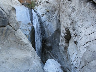
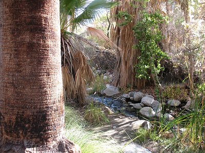
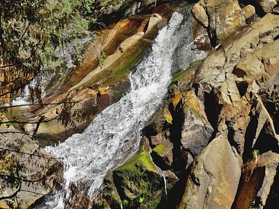
Looking for more outdoor adventures? Explore waterfall hikes near Desert Hot Springs (Thermal Mineral Springs), California.