Palm Springs (Agua Caliente Spring)
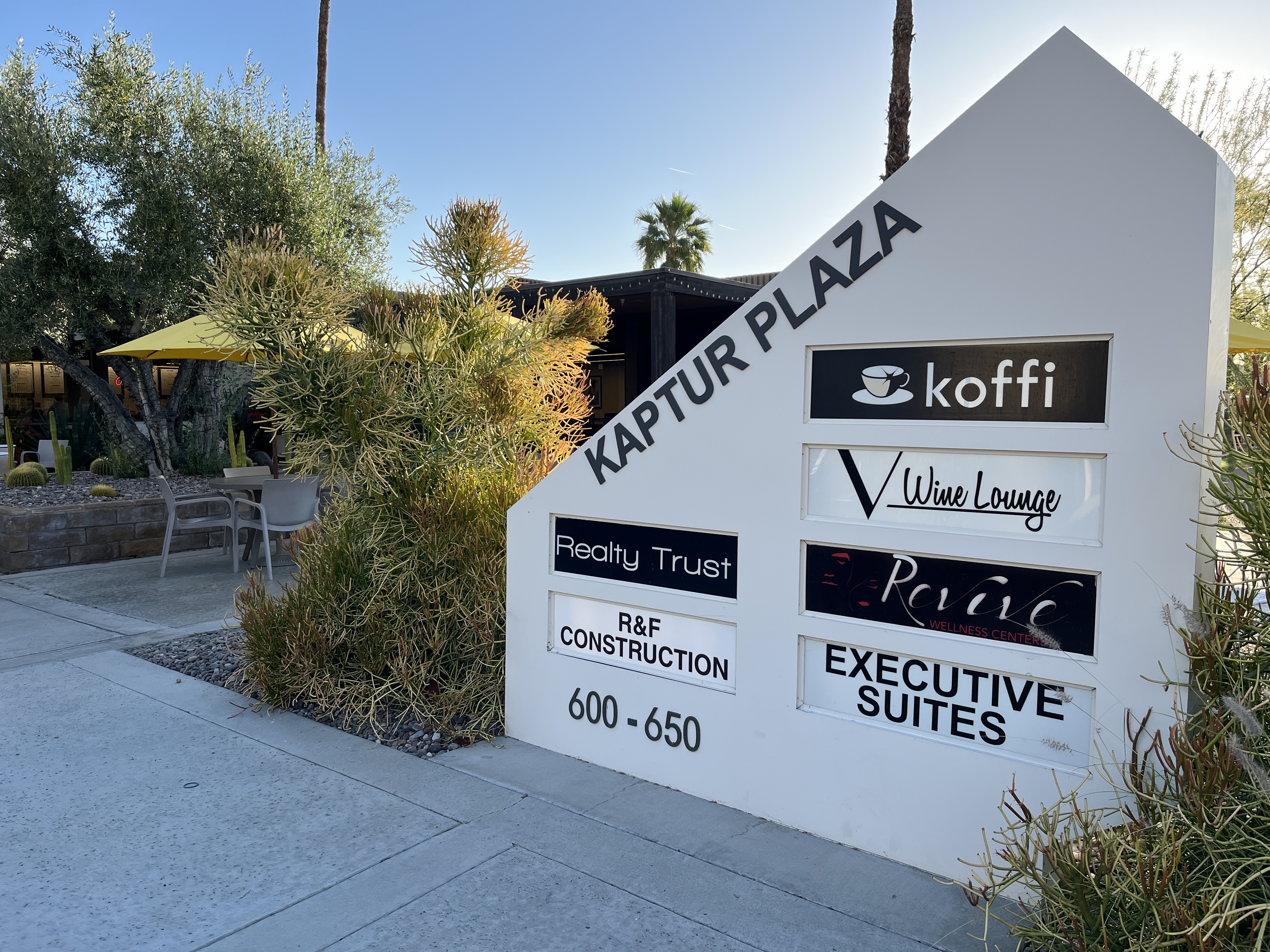
Agua Caliente Spring rises inside the city of Palm Springs, on the Agua Caliente Indian Reservation in Riverside County. The water comes up at a good soaking heat. The reservation owns the ground and nobody has recorded what public access looks like, so do not count on walking up and getting in. East Tahquitz Canyon Way runs a few feet from it.
This one is about as urban as a hot spring gets. The road is within twenty feet of it and downtown Palm Springs is a mile and a half off. The ground is low desert, under five hundred feet, with scant rain and only a trace of snow. The land is designated tribal land within the Agua Caliente Indian Reservation, and that governs everything about visiting.
Winter is the season; the rest of the year is hot. Access is listed as unknown on tribal land, so go through whatever the reservation currently allows and do not trespass. The water chemistry was sampled in 2005 and came back strongly alkaline, with a pH near ten, which is unusual and worth knowing. Marion Mountain, eleven miles out, is the only campground in the record.
USGS lists the spring as a monitoring site, and the land record places it within the Agua Caliente Indian Reservation as designated tribal land.
Aircraft with laser scanners measured this ground to within inches. The scan strips out trees and buildings, leaving the bare shape of the land around Palm Springs (Agua Caliente Spring).
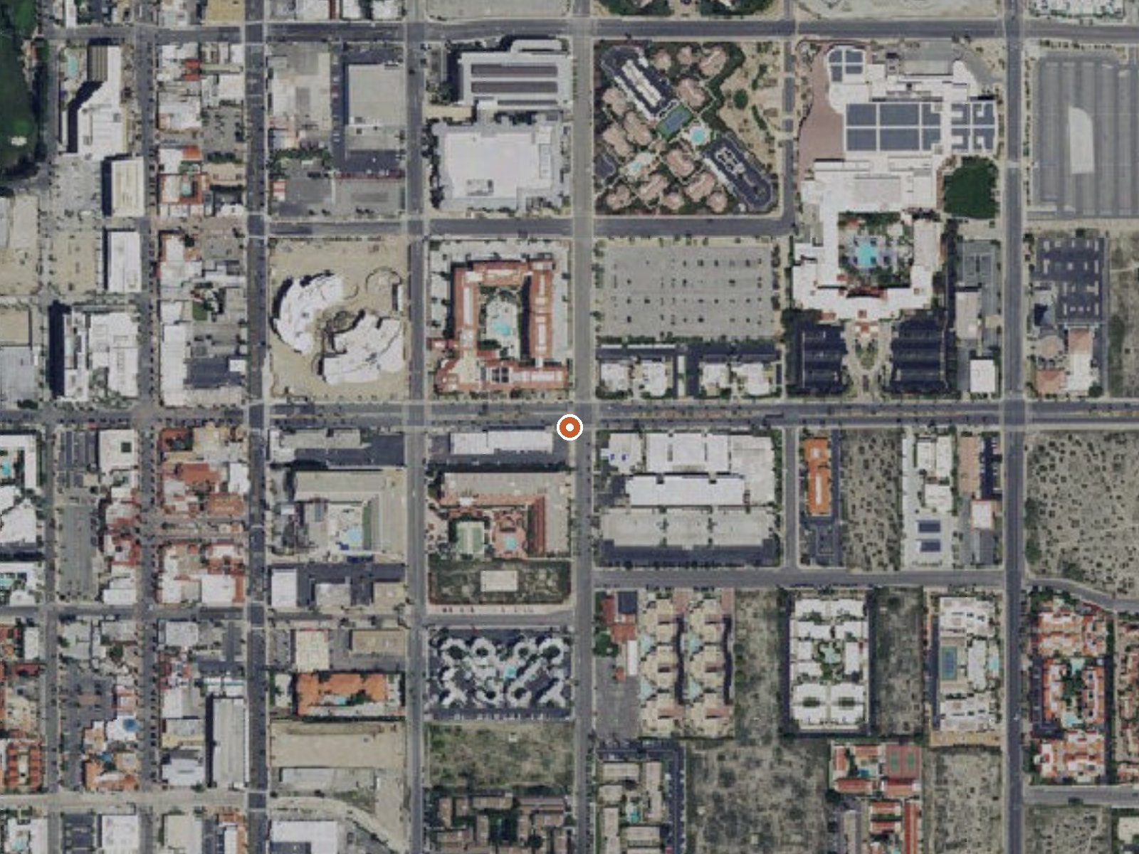
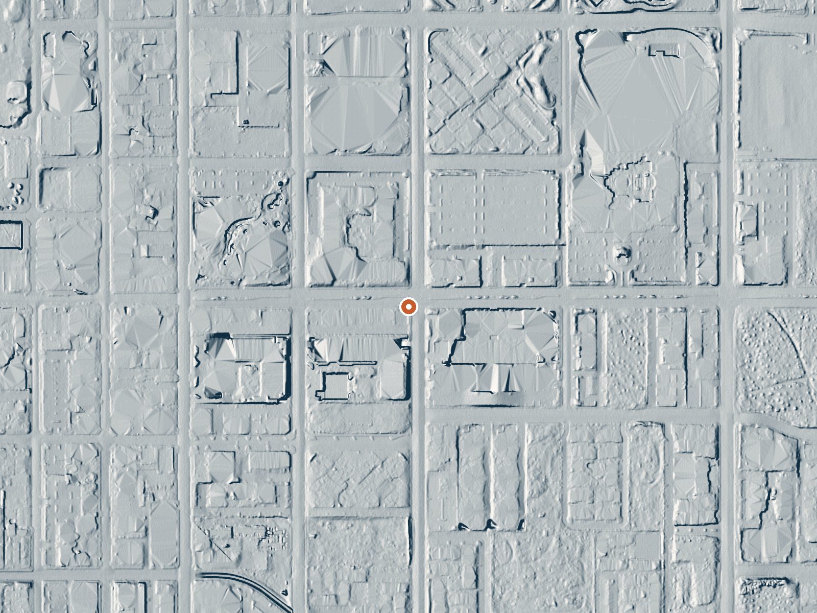
Drag the handle to compare the two views. The orange dot marks the spring, in a frame about three quarters of a mile wide.
- Setting
- Open ground
- Flat, open ground all around.
- Highest ground nearby
- 16 ft above the spring
- Within a quarter mile, to the northwest
A slice through the ground from north to south, about 0.6 miles end to end.
Elevation data: USGS 3D Elevation Program. Aerial imagery: USGS The National Map. Public domain.
That's about twice the US average of 65. It's higher than at 71% of the springs on this site.
Heat flow measures the warmth working its way up through the ground from deep inside the earth. Where it runs high, rain and snowmelt that seep down through cracks in the rock come back up hot.
See every spring on the geothermal heat map →
Heat flow estimate: Stanford Thermal Earth Model (Aljubran & Horne, 2024), CC BY 4.0.
The water at Palm Springs (Agua Caliente Spring) is alkaline (pH 9.8) with 234 mg/L total dissolved solids.
Some links are affiliate links. We may earn a commission at no extra cost to you.
Overview The Marion Mountain Campground offers a beautiful retreat in the San Bernardino National Forest. It provides access to a number of hiking trails that lead to some of the most spectacular views of Southern California. The San Bernardino National Forest is submitting a proposal to increase fees at various sites across the Forest and is seeking public input. Please visit the https://www.fs.usda.gov/sbnf for more information and to submit comments regarding this proposal. Recreation Vis...
Palm Springs (Agua Caliente Spring) is road-accessible, so you can bring more gear. Bring sun protection for exposed soaking.



As an Amazon Associate, we earn from qualifying purchases.
Springs Near Palm Springs (Agua Caliente Spring)
More Springs Around 104°F
Alkaline Springs (pH ~9.8)
Hike 6 waterfalls near Palm Springs (Agua Caliente Spring)
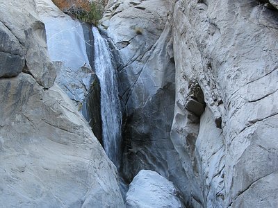
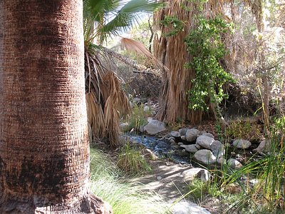
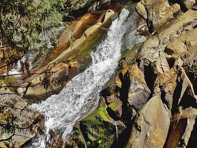
Looking for more outdoor adventures? Explore waterfall hikes near Palm Springs (Agua Caliente Spring), California.