Unnamed Thermal Spring
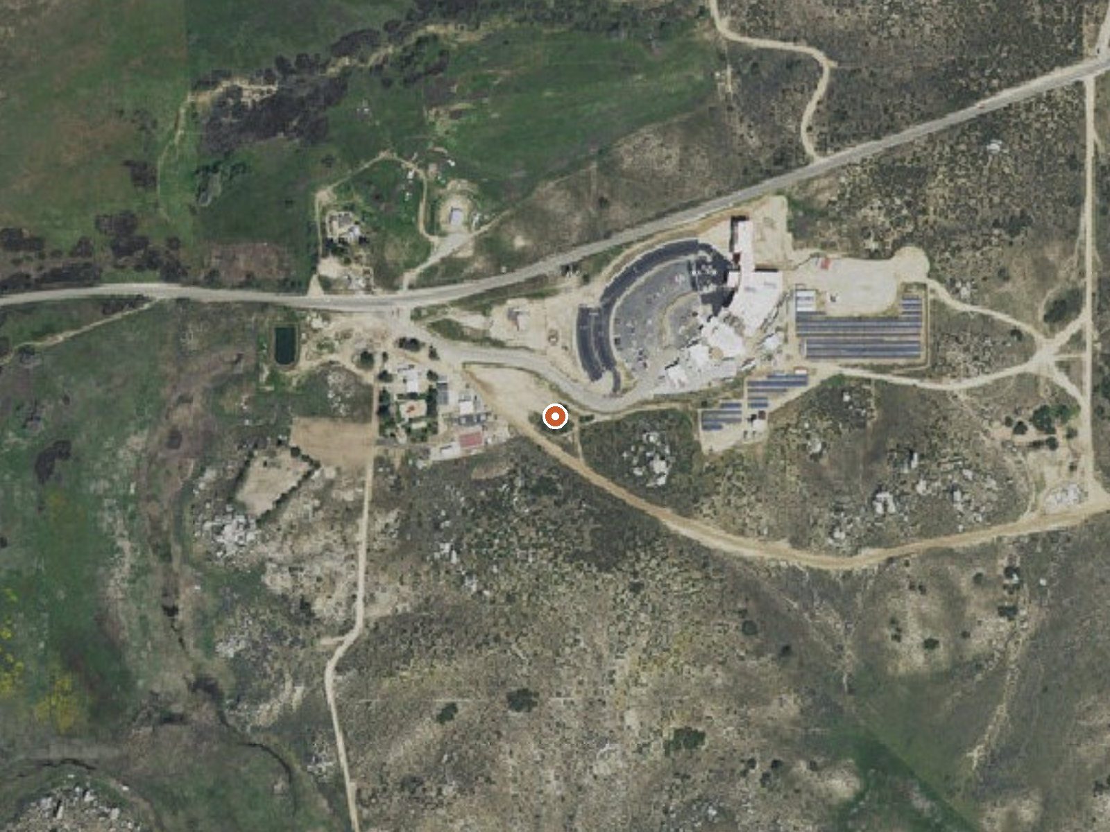
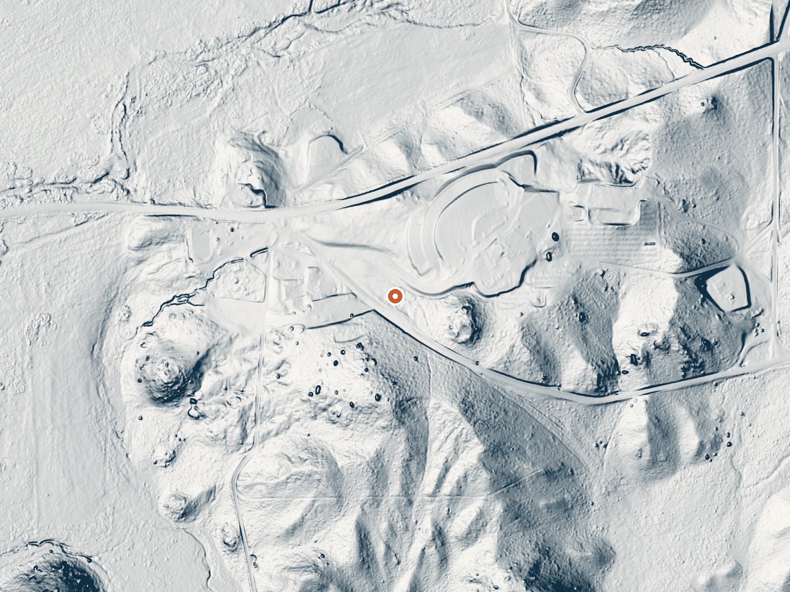
Drag the handle to compare the two views. The orange dot marks the spring, in a frame about three quarters of a mile wide.
An unnamed thermal point on the Cahuilla Reservation in Riverside County, about three miles from Anza. It is tribal land, and public access is recorded as unknown, which should settle the question of dropping by uninvited. The record gives no temperature, only a warm tag, so there is no basis here for calling it a soak. The USGS sampled the water in the 1980s.
The spring is roadside, about a hundred feet from a nameless road, at around thirty-six hundred feet. The land designation on file is tribal land, the Cahuilla Reservation. Winters bring a little snow, seven inches on average, and the year's precipitation is around sixteen inches, with a mean temperature in the low sixties.
The record lists no best months. Oak Grove Campground is about eleven miles off. The water chemistry shown is from an old sample and reads strongly alkaline with low dissolved solids and some iron. Because this is reservation land with no access status, contact the tribe before visiting. Assume nothing.
The USGS holds a monitoring site here and sampled the water in March 1986. The ground is part of the Cahuilla Reservation.
Aircraft with laser scanners measured this ground to within inches. The scan strips out trees and buildings, leaving the bare shape of the land around this spring.
- Setting
- Valley floor
- Gentle slopes rise on both sides.
- Highest ground nearby
- 48 ft above the spring
- Within a quarter mile, to the east
A slice through the ground from northwest to southeast, about 0.6 miles end to end.
Elevation data: USGS 3D Elevation Program. Aerial imagery: USGS The National Map. Public domain.
That's close to the US average of 65. It's higher than at 13% of the springs on this site.
Heat flow measures the warmth working its way up through the ground from deep inside the earth. Where it runs high, rain and snowmelt that seep down through cracks in the rock come back up hot.
See every spring on the geothermal heat map →
Heat flow estimate: Stanford Thermal Earth Model (Aljubran & Horne, 2024), CC BY 4.0.
The water at This spring is alkaline (pH 9.7) with 224 mg/L total dissolved solids.
Some links are affiliate links. We may earn a commission at no extra cost to you.
Overview Located on the Cleveland National Forest, Oak Grove Campground is nestled in a valley of large oak groves and manzanita.Recreation Oak Grove Trail is a short walk of 1.5 miles and is located across Rt. 79, behind the Ranger Station. Oak Grove Trail is the oldest established trail on the Palomar Ranger District. Although a steep trail, it offers great views of the San Jacinto and San Gorgonio Mountains and the Oak Grove Valley as you gain elevation. The trail connects with the Oak Gr...
this spring is road-accessible, so you can bring more gear.




As an Amazon Associate, we earn from qualifying purchases.
Springs Near This Spring
Alkaline Springs (pH ~9.7)
Hike 6 waterfalls near this spring
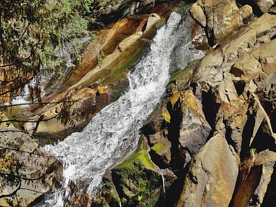
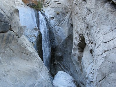
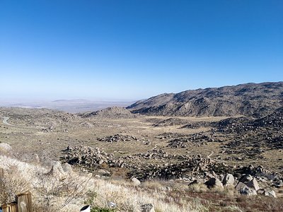
Looking for more outdoor adventures? Explore waterfall hikes near this spring, California.