Elgin Mine
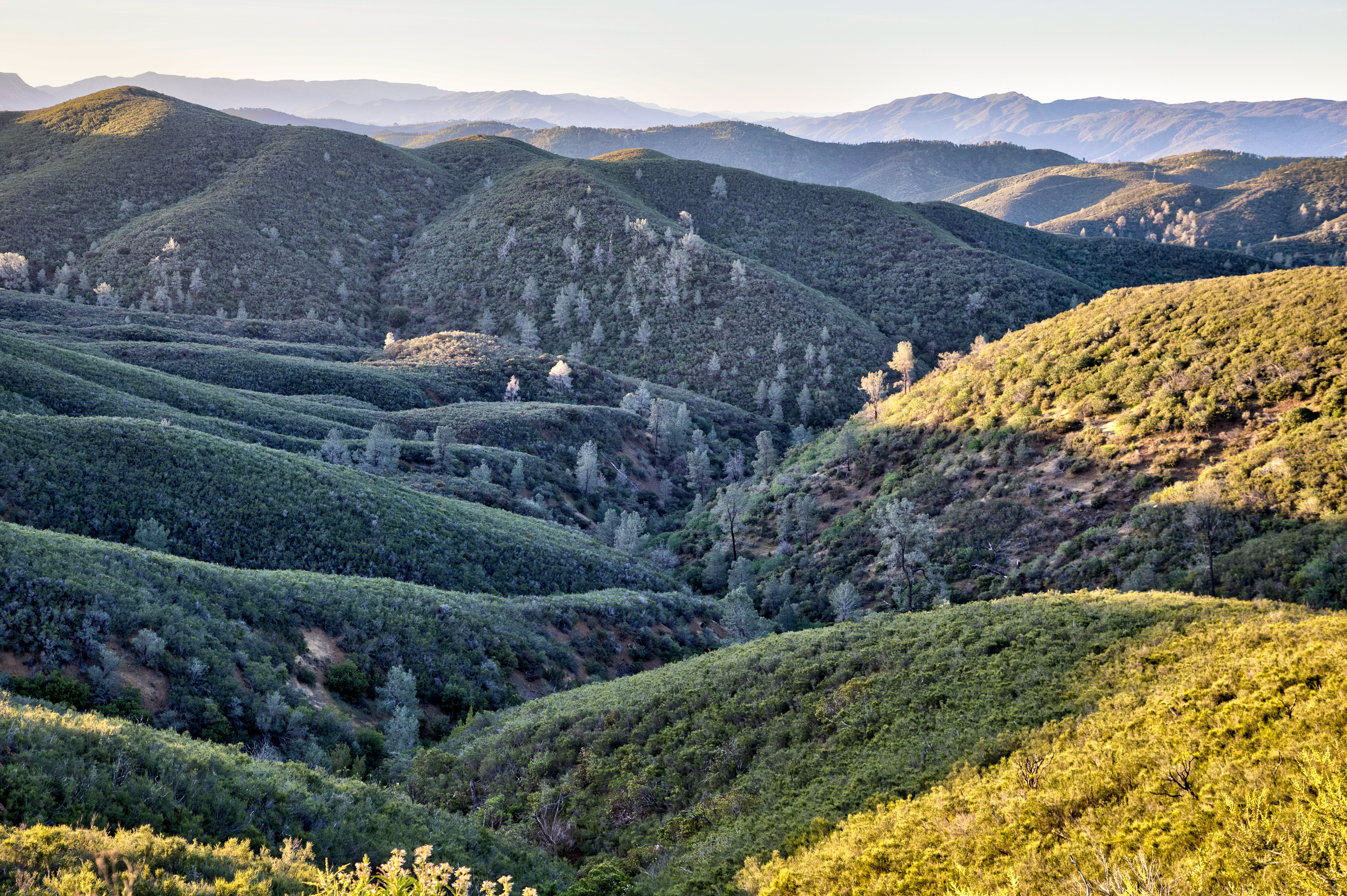
Elgin Mine is a thermal site carrying the name of a mine in Lake County, eleven miles or so from Clearlake. Scalding water. Nothing on file names a landholder, and public entry is equally unrecorded. No elevation or chemistry is attached.
Reaching the point means roughly five hundred feet on foot from an unnamed road. This is Clear Lake hill country with moderate rain, close to two feet a year, and light snow in a normal winter. Little Stony is the nearest listed campground, around seventeen miles away.
Water there is well past the point where touching it is safe. Should you locate it, look and nothing more. Winter is what shows up as the best stretch. No owner is named, and nobody has said if the public may enter, so check with the county or a local land office before assuming anything. Fees and chemistry are equally unrecorded.
Aircraft with laser scanners measured this ground to within inches. The scan strips out trees and buildings, leaving the bare shape of the land around Elgin Mine.
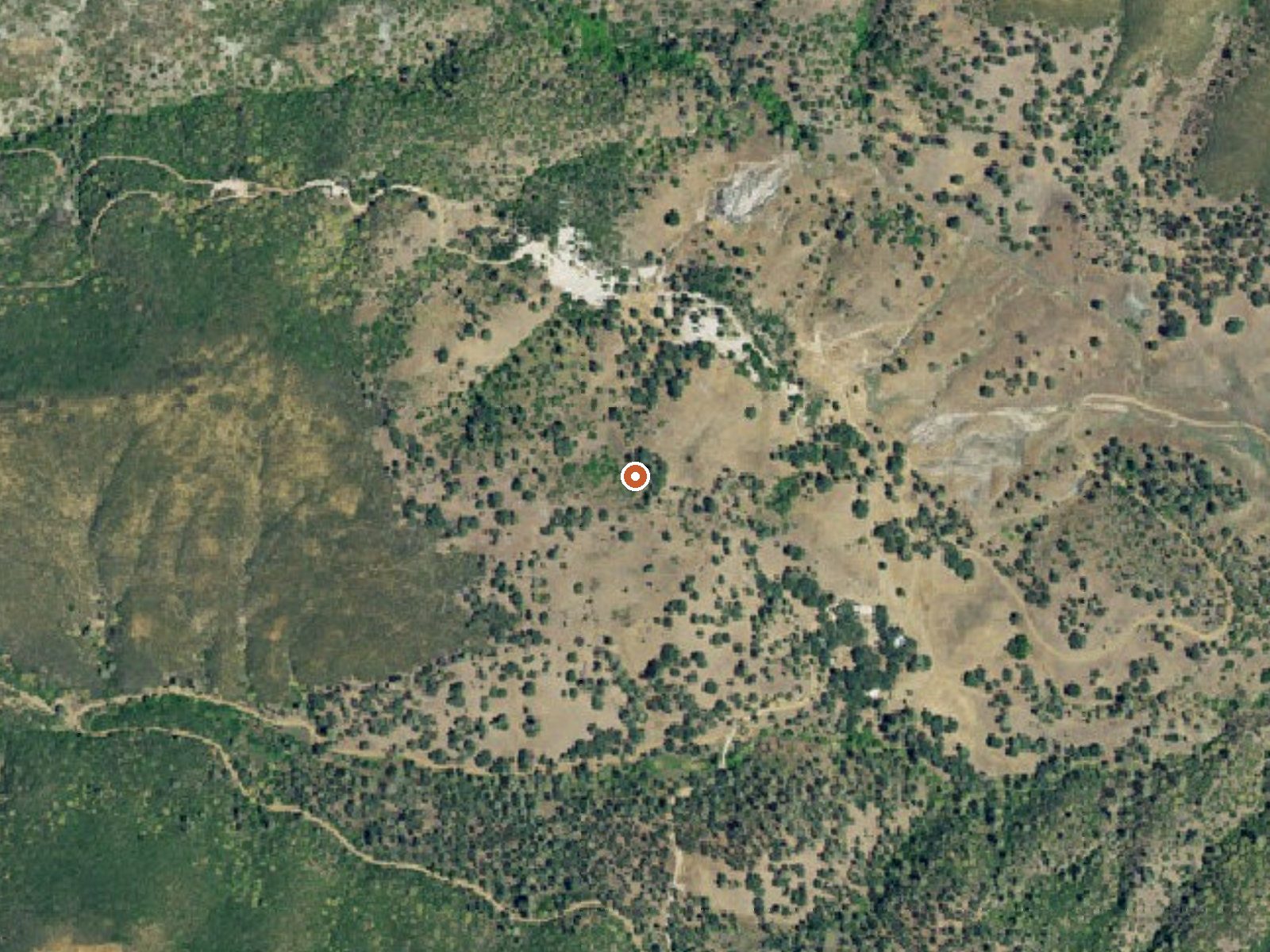
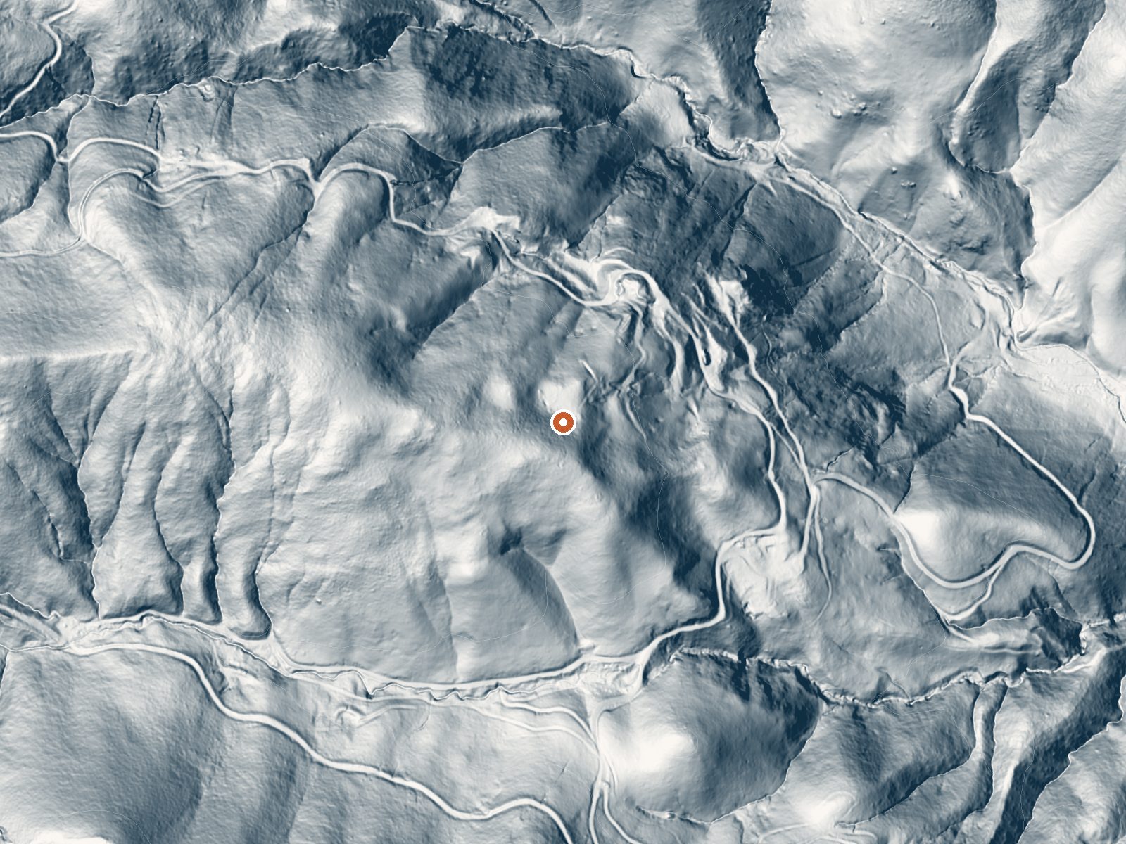
Drag the handle to compare the two views. The orange dot marks the spring, in a frame about three quarters of a mile wide.
- Setting
- Hillside
- The spring sits on a steep slope that climbs to the northwest.
- Highest ground nearby
- 195 ft above the spring
- Within a quarter mile, to the northwest
A slice through the ground from west to east, about 0.6 miles end to end.
Elevation data: USGS 3D Elevation Program. Aerial imagery: USGS The National Map. Public domain.
That's about 2½ times the US average of 65. It's higher than at 93% of the springs on this site.
Heat flow measures the warmth working its way up through the ground from deep inside the earth. Where it runs high, rain and snowmelt that seep down through cracks in the rock come back up hot.
See every spring on the geothermal heat map →
Heat flow estimate: Stanford Thermal Earth Model (Aljubran & Horne, 2024), CC BY 4.0.
Some links are affiliate links. We may earn a commission at no extra cost to you.
Overview This location is available on a first-come, first-served basis only. Visitors are required to physically arrive at the campground to purchase and claim a site.Once on-site, you are able to pay for your campsite(s) by scanning a QR code using the Recreation.gov mobile app, and the Scan and Pay feature.In order to utilize Scan & Pay on site, you will need to first download the free Recreation.gov mobile app https://www.recreation.gov/mobile-app prior to your arrival as some remote area...
Elgin Mine is road-accessible, so you can bring more gear. The water is dangerously hot, so bring water shoes and test pools carefully.




As an Amazon Associate, we earn from qualifying purchases.
Springs Near Elgin Mine
More Springs Around 156°F
Hike 2 waterfalls near Elgin Mine
Looking for more outdoor adventures? Explore waterfall hikes near Elgin Mine, California.