Wilbur Springs
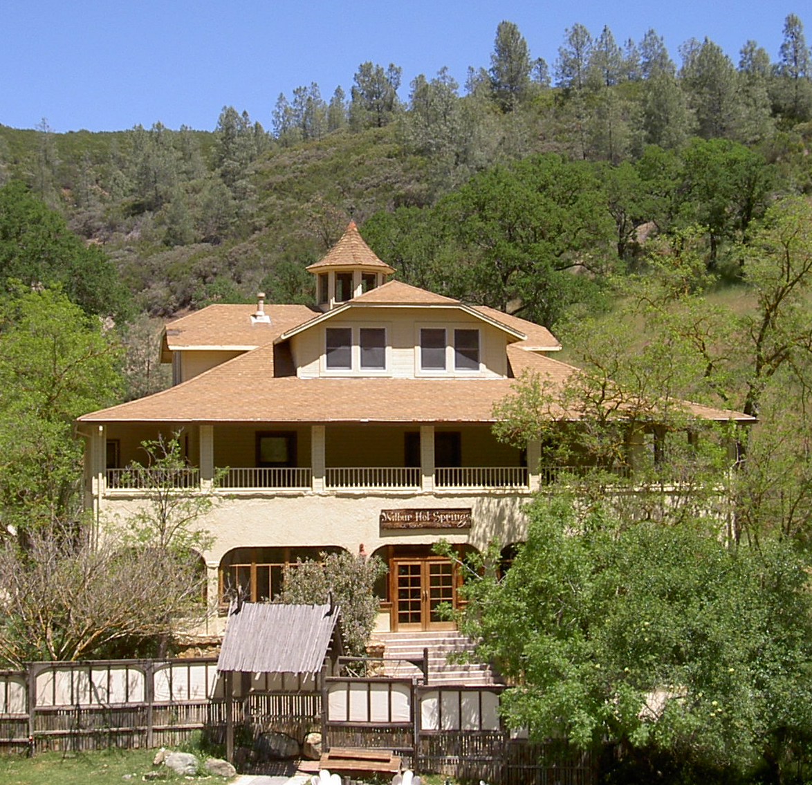
Wilbur Springs, Wilbur Hot Springs on OpenStreetMap, is a commercial spa resort with scalding source water. The record files it under Lake County, thirteen-odd miles from Clearlake, while Wikipedia places it near Williams in Colusa County. Either way it is the same spot near the junction of State Routes 16 and 20, a couple of hours by car from the San Francisco Bay Area. The source water is too hot to touch, so any soaking there goes through the resort, and you will be dealing with a business.
It is right at the roadside, nine feet by the record, at about seventeen hundred feet in the hills. Winters see a dusting of snow, a few inches a year, and rainfall is middling by California standards. Land owner and unit are not recorded in the file, which fits a privately run property.
The winter months are the ones the record favors. This is a resort, so plan on fees and booking; the record itself lists no fee figure. Little Stony, the campground in the file, is around nineteen miles off, which hardly matters at a place with lodging. The only water chemistry on record is a pH reading from a 2015 sample. The source is scalding, so stay out of the raw outflow and stick to what the operator has set up.
Wikipedia says the place was once Simmons Hot Springs and was developed as a spa in the 19th century. It changed hands in the 1970s when therapist Richard Louis Miller bought it, and he has run it as a spa resort since. The USGS lists it as a site as well.
Aircraft with laser scanners measured this ground to within inches. The scan strips out trees and buildings, leaving the bare shape of the land around Wilbur Springs.
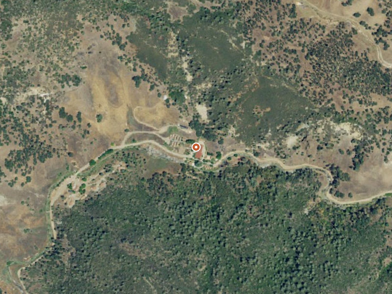
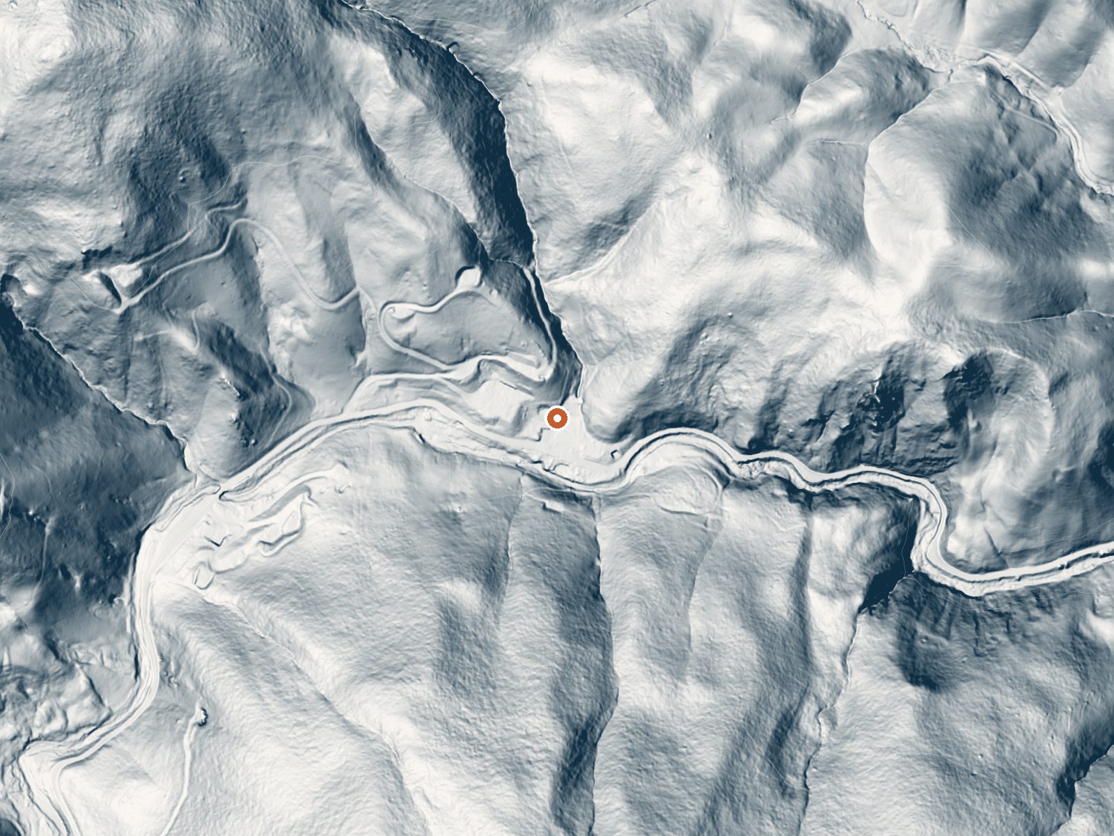
Drag the handle to compare the two views. The orange dot marks the spring, in a frame about three quarters of a mile wide.
- Setting
- Canyon floor
- Steep ground climbs away on both sides of the spring.
- Highest ground nearby
- 428 ft above the spring
- Within a quarter mile, to the south
A slice through the ground from south to north, about 0.6 miles end to end.
Elevation data: USGS 3D Elevation Program. Aerial imagery: USGS The National Map. Public domain.
That's about 2½ times the US average of 65. It's higher than at 97% of the springs on this site.
Heat flow measures the warmth working its way up through the ground from deep inside the earth. Where it runs high, rain and snowmelt that seep down through cracks in the rock come back up hot.
See every spring on the geothermal heat map →
Heat flow estimate: Stanford Thermal Earth Model (Aljubran & Horne, 2024), CC BY 4.0.
The water at Wilbur Springs is slightly acidic (pH 6.7).
Some links are affiliate links. We may earn a commission at no extra cost to you.
Overview This location is available on a first-come, first-served basis only. Visitors are required to physically arrive at the campground to purchase and claim a site.Once on-site, you are able to pay for your campsite(s) by scanning a QR code using the Recreation.gov mobile app, and the Scan and Pay feature.In order to utilize Scan & Pay on site, you will need to first download the free Recreation.gov mobile app https://www.recreation.gov/mobile-app prior to your arrival as some remote area...
Wilbur Springs is road-accessible, so you can bring more gear. The water is dangerously hot, so bring water shoes and test pools carefully.




As an Amazon Associate, we earn from qualifying purchases.
Springs Near Wilbur Springs
More Springs Around 153°F
Slightly Acidic Springs (pH ~6.7)
Hike 2 waterfalls near Wilbur Springs
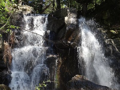
Looking for more outdoor adventures? Explore waterfall hikes near Wilbur Springs, California.