Mono Hot Springs
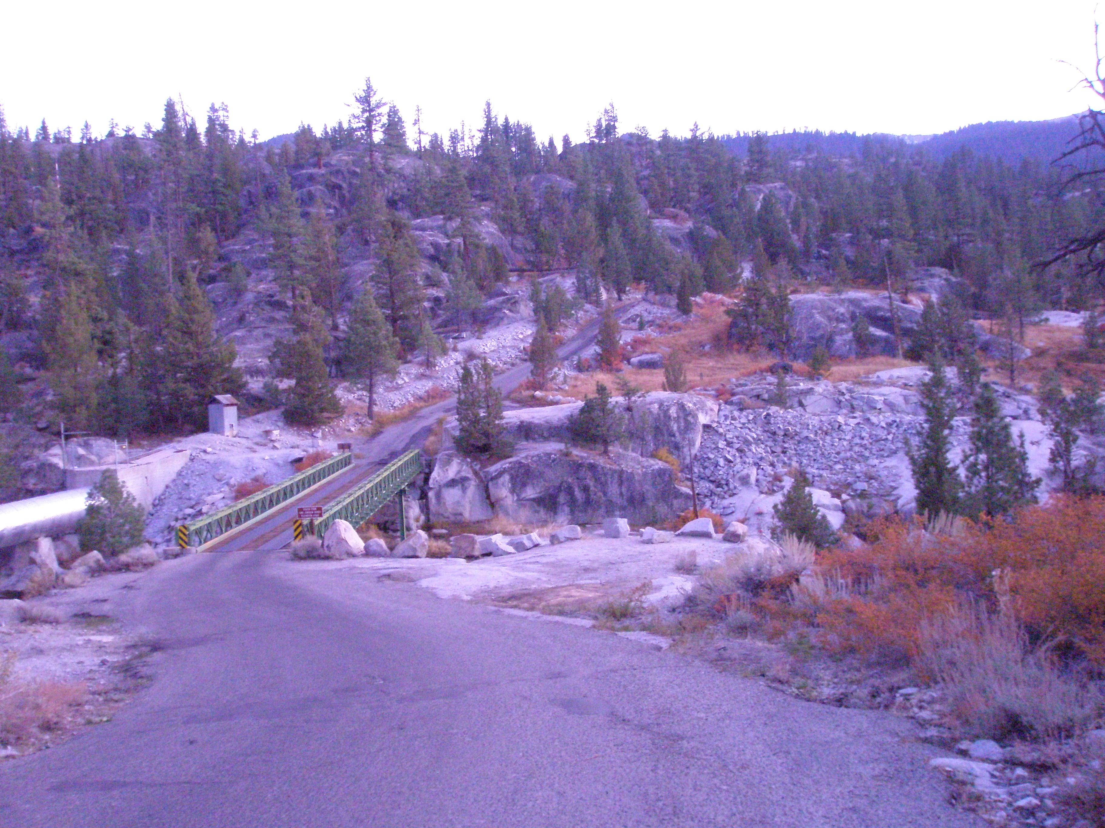
Mono Hot Springs is a summer resort and campground built around a group of hot springs in the Sierra National Forest. Wikipedia puts it in Fresno County, seventy miles northeast of Fresno on State Route 168; this record files it under Mono County with Mammoth Lakes as the nearest city. The water is soaking temperature, a bit over body heat, and public access is listed as open.
The spring is twelve feet from the road, with the Mono Hot Springs campground right there, under two hundred yards away. This is Forest Service land at around 6,500 feet with a very snowy winter and a wet year. The resort is seasonal, summer only per Wikipedia, and the campground carries the same name as the springs.
Wikipedia describes a summer operation, and the snowfall total explains why. The best months on file say winter, which does not square with that; go with the resort's season. Camping is on site. Temperature is comfortable for soaking with no burn risk. No fee is recorded here; a resort may set its own.
Wikipedia says the place was formerly called Lower Hot Springs and Lower Mineral Hot Springs, and describes it as a summer resort and campground at a group of hot springs in Fresno County, reached by State Route 168 from Fresno.
Aircraft with laser scanners measured this ground to within inches. The scan strips out trees and buildings, leaving the bare shape of the land around Mono Hot Springs.
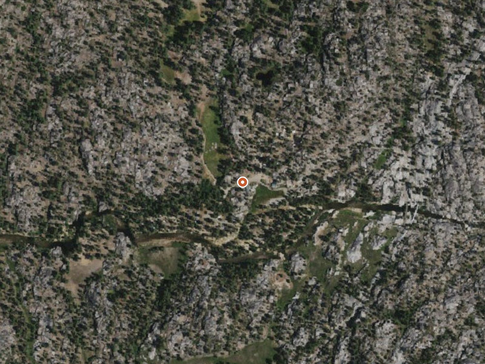
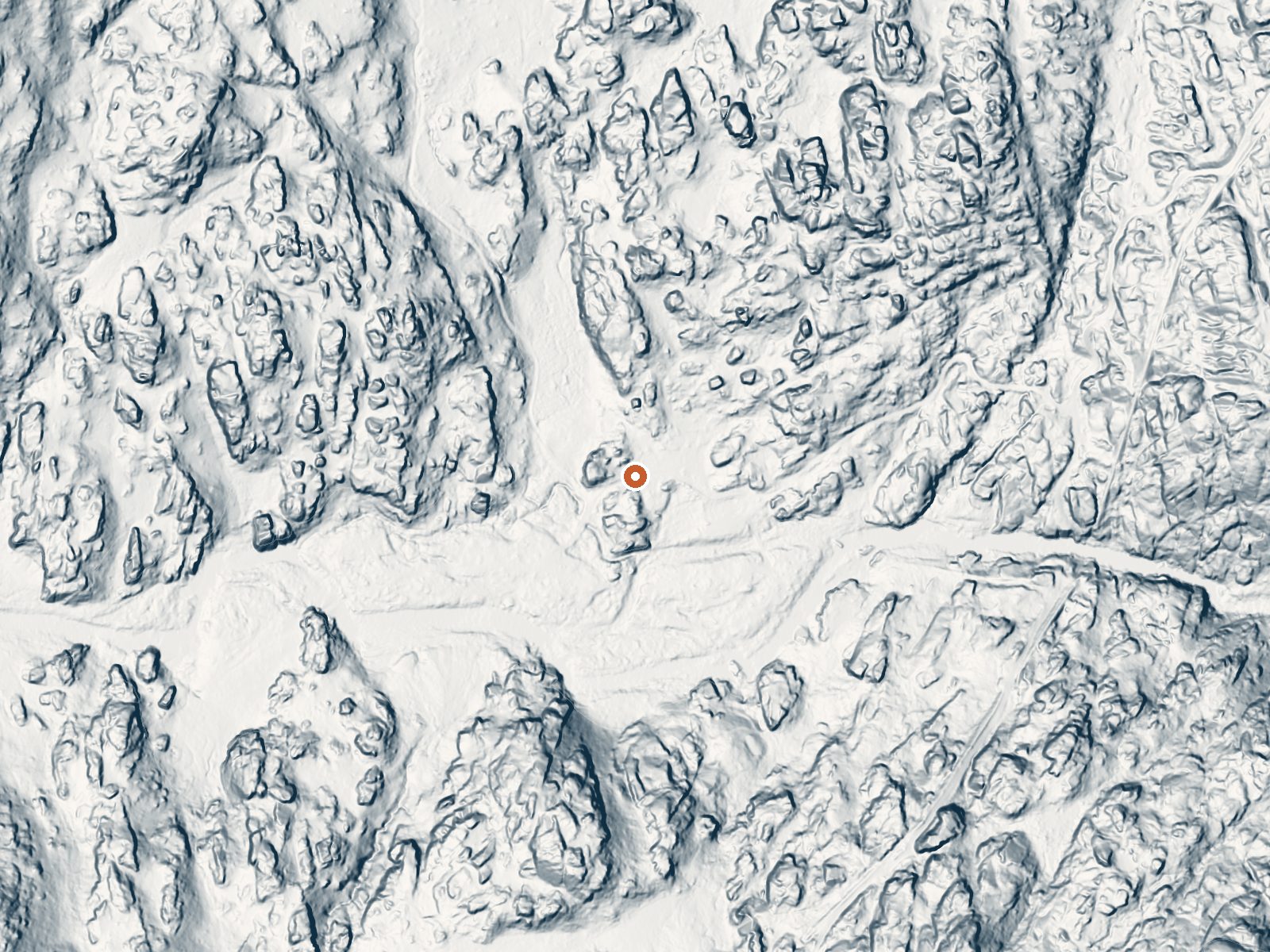
Drag the handle to compare the two views. The orange dot marks the spring, in a frame about three quarters of a mile wide.
- Setting
- Valley floor
- Gentle slopes rise on both sides.
- Highest ground nearby
- 208 ft above the spring
- Within a quarter mile, to the northeast
A slice through the ground from southwest to northeast, about 0.6 miles end to end.
Elevation data: USGS 3D Elevation Program. Aerial imagery: USGS The National Map. Public domain.
That's about twice the US average of 65. It's higher than at 91% of the springs on this site.
Heat flow measures the warmth working its way up through the ground from deep inside the earth. Where it runs high, rain and snowmelt that seep down through cracks in the rock come back up hot.
See every spring on the geothermal heat map →
Heat flow estimate: Stanford Thermal Earth Model (Aljubran & Horne, 2024), CC BY 4.0.
Some links are affiliate links. We may earn a commission at no extra cost to you.
Overview Mono Hot Springs Campground sits above Kaiser Pass in the High Sierra, on the South Fork of the San Joaquin River in an area known for its hot mineral baths. The camp is divided into two sections that are separated by Mono Hot Springs Resort, and some sites are shaded by aspen and lodgepole pine. The campground sits at an elevation of 6,700 feet with many cliffs in the area. It makes a great base for exploring the nearby Ansel Adams and John Muir Wilderness areas or for simply relax...
Mono Hot Springs sits at 6,561 feet above sea level, way above the mile-high mark. You may not feel the altitude strongly, but hot water still dehydrates you faster at elevation. UV is about 26% stronger than at sea level, so bring sunscreen and drink more water than you normally would.



As an Amazon Associate, we earn from qualifying purchases.
Mono Hot Springs is road-accessible, so you can bring more gear.






As an Amazon Associate, we earn from qualifying purchases.
Springs Near Mono Hot Springs
More Springs Around 109°F
Hike 6 waterfalls near Mono Hot Springs
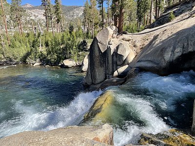
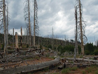
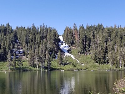
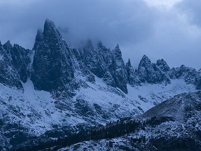
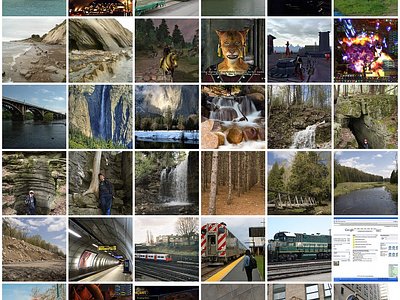
Looking for more outdoor adventures? Explore waterfall hikes near Mono Hot Springs, California.