Unnamed Thermal Spring
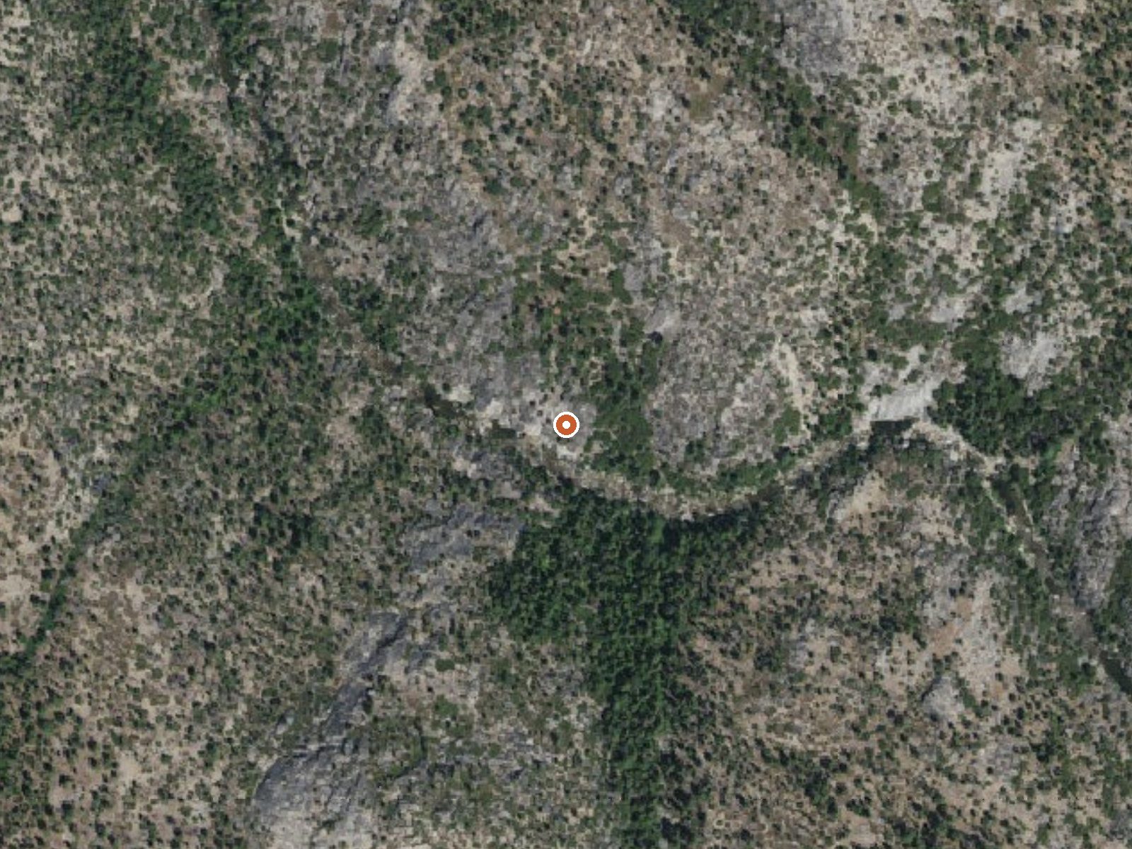
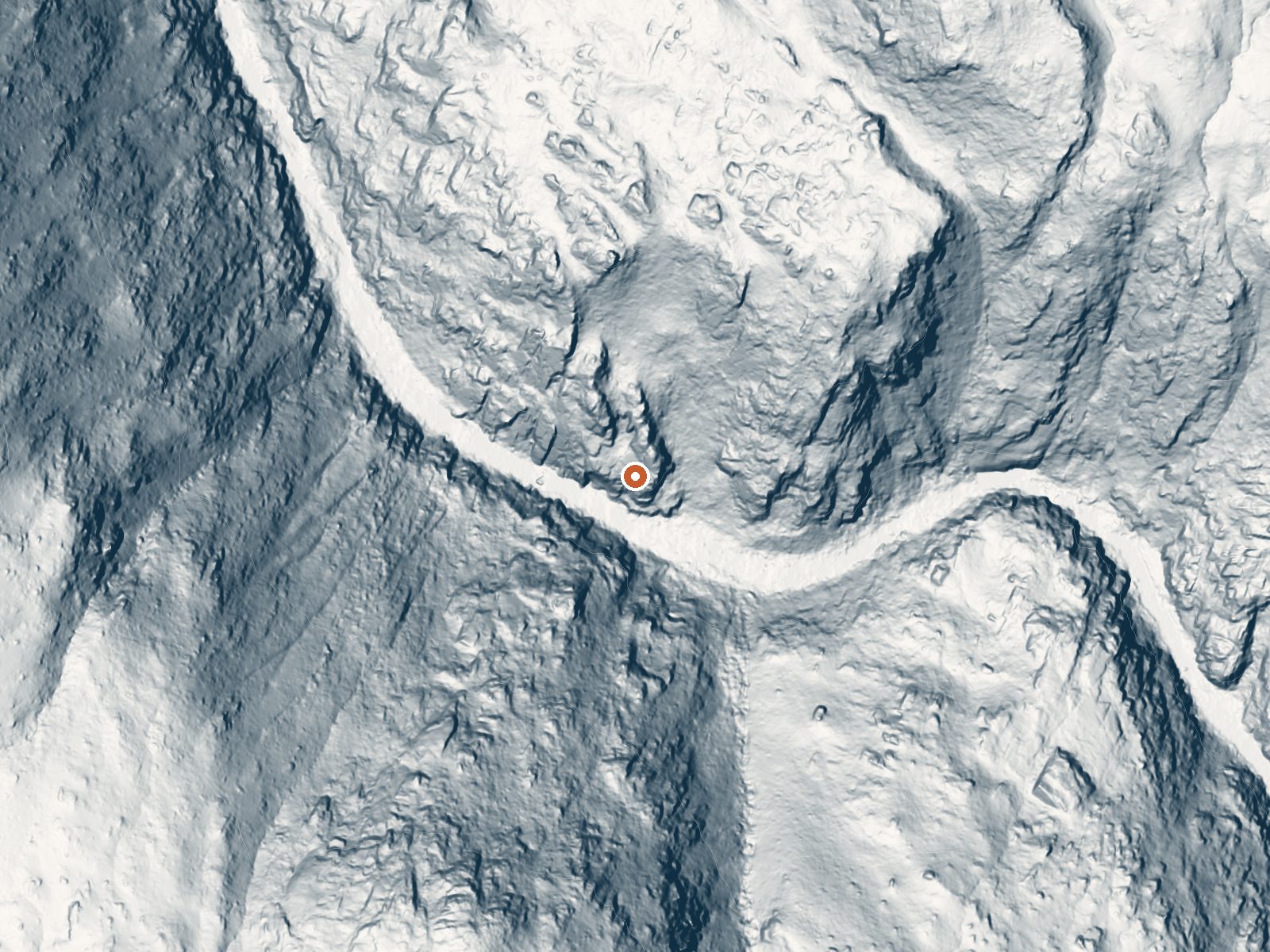
Drag the handle to compare the two views. The orange dot marks the spring, in a frame about three quarters of a mile wide.
This unnamed thermal point sits in Sierra National Forest, in Mono County, seventeen miles from Mammoth Lakes. The water is soaking warm, a touch below body heat. It is a hike in, a mile and a half or so, on Forest Service land that the agency lists as open. Warm water at the end of a walk, on open ground, is a decent proposition.
High country around 5,600 feet with very heavy snow, around 175 inches a year, and a wet climate for the range. The hike is a mile and a half, and the record gives no road name. National Forest land. Vermillion is the nearest listed campground, about seven miles away.
Our record lists winter as the best months, but with that much snow expect the road to stay closed for much of it. Hike access. Camp at Vermillion. No fee recorded. The Forest Service lists this as open. Soaking warm water, the kind that feels good after a walk in.
Aircraft with laser scanners measured this ground to within inches. The scan strips out trees and buildings, leaving the bare shape of the land around this spring.
- Setting
- Canyon floor
- Steep ground climbs away on both sides of the spring.
- Highest ground nearby
- 710 ft above the spring
- Within a quarter mile, to the southwest
A slice through the ground from southwest to northeast, about 0.6 miles end to end.
Elevation data: USGS 3D Elevation Program. Aerial imagery: USGS The National Map. Public domain.
That's about twice the US average of 65. It's higher than at 74% of the springs on this site.
Heat flow measures the warmth working its way up through the ground from deep inside the earth. Where it runs high, rain and snowmelt that seep down through cracks in the rock come back up hot.
See every spring on the geothermal heat map →
Heat flow estimate: Stanford Thermal Earth Model (Aljubran & Horne, 2024), CC BY 4.0.
Overview Vermillion Campground is located on the northwest shore of Edison Lake, in a shady stand of Ponderosa pine. Most sites provide lake views. The campground is ideal for tents, as well as small RVs. Visitors can enjoy mountain views of the surrounding John Muir and Ansel Adams Wilderness areas.Recreation Edison Lake has a free public boat launch. Canoeing and kayaking near the shoreline are popular activities. Anglers can fish for rainbow, brown or brook trout. Sandy beaches within the...
this spring sits at 5,585 feet above sea level, way above the mile-high mark. You may not feel the altitude strongly, but hot water still dehydrates you faster at elevation. UV is about 22% stronger than at sea level, so bring sunscreen and drink more water than you normally would.



As an Amazon Associate, we earn from qualifying purchases.
Springs Near This Spring
More Springs Around 95°F
Hike 6 waterfalls near this spring
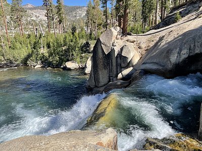
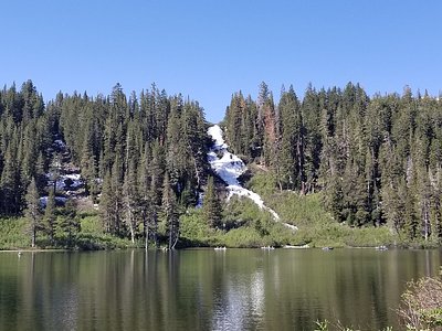
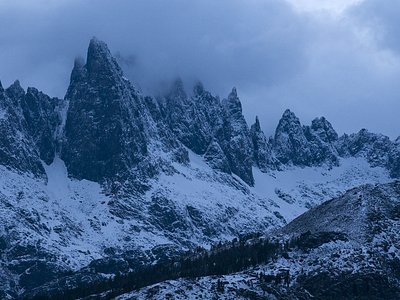

Looking for more outdoor adventures? Explore waterfall hikes near this spring, California.