San Marcos Hot Spring
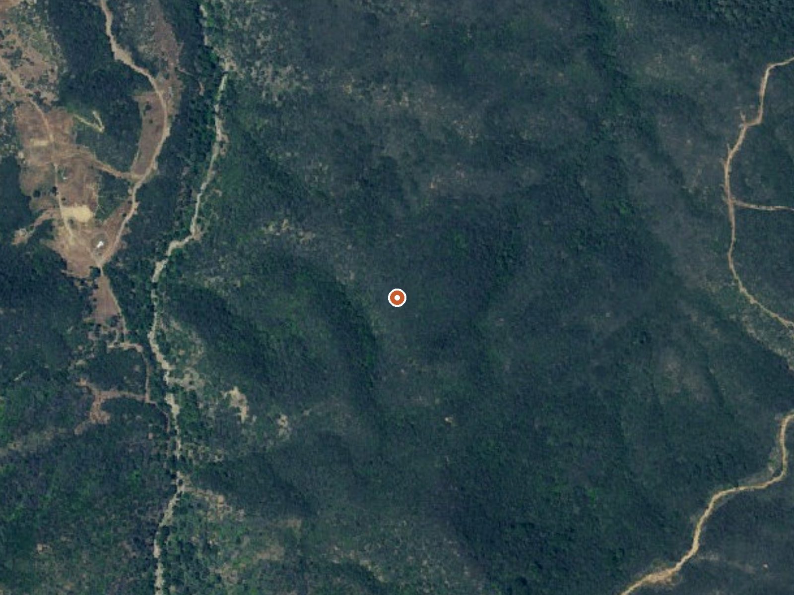
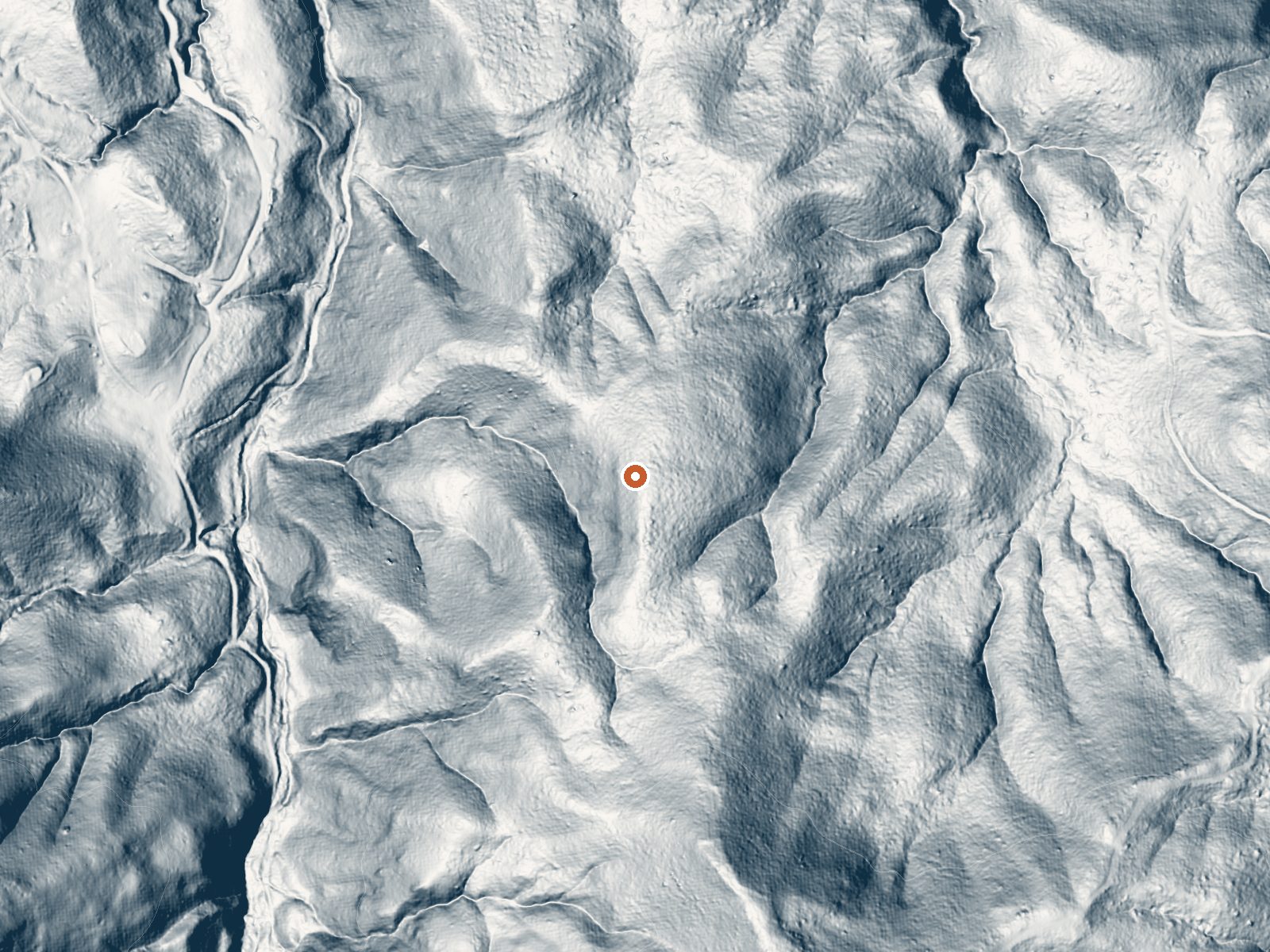
Drag the handle to compare the two views. The orange dot marks the spring, in a frame about three quarters of a mile wide.
San Marcos Hot Spring sits in Los Padres National Forest, in Santa Barbara County about seven miles from Goleta. The water comes out hot, right at the top of the range most people can soak in. It is on Forest Service ground and open, and the spring is half a mile from the Chumash Highway. Fremont Campground is a few miles away.
National forest foothills under fifteen hundred feet, with no snow and a winter rainy season. The walk in is half a mile from the Chumash Highway. The Forest Service lists access as open; nothing is on record about a fee. The annual average is mild, and the rain that does fall comes mostly in the cool months.
Aim for February, or December and January. Fremont Campground is close, roughly three and a half miles. It is hot enough to be uncomfortable at first, so ease in and check the temperature before committing; it sits right on the line between soaking warm and too hot. No fee is listed.
Aircraft with laser scanners measured this ground to within inches. The scan strips out trees and buildings, leaving the bare shape of the land around San Marcos Hot Spring.
- Setting
- Gentle slope
- The ground tilts gently up to the south.
- Highest ground nearby
- 242 ft above the spring
- Within a quarter mile, to the south
A slice through the ground from northwest to southeast, about 0.6 miles end to end.
Elevation data: USGS 3D Elevation Program. Aerial imagery: USGS The National Map. Public domain.
That's close to the US average of 65. It's higher than at 6% of the springs on this site.
Heat flow measures the warmth working its way up through the ground from deep inside the earth. Where it runs high, rain and snowmelt that seep down through cracks in the rock come back up hot.
See every spring on the geothermal heat map →
Heat flow estimate: Stanford Thermal Earth Model (Aljubran & Horne, 2024), CC BY 4.0.
Overview Fremont Campground is a family-friendly facility located just off California's western coast. It provides access to a variety of hiking, biking and horseback riding trails, as well as some off-road vehicle trails, in a scenic area. Recreation The Santa Ynez River is popular for a variety of water-related recreation. It can be accessed at nearby White Rock Day Use Area. Cachuma Lake Recreation Area, a no-body-contact reservoir, is also nearby. It offers boating, kayaking and fishing o...
Springs Near San Marcos Hot Spring
More Springs Around 110°F
Hike 6 waterfalls near San Marcos Hot Spring
Looking for more outdoor adventures? Explore waterfall hikes near San Marcos Hot Spring, California.