Seigler Springs
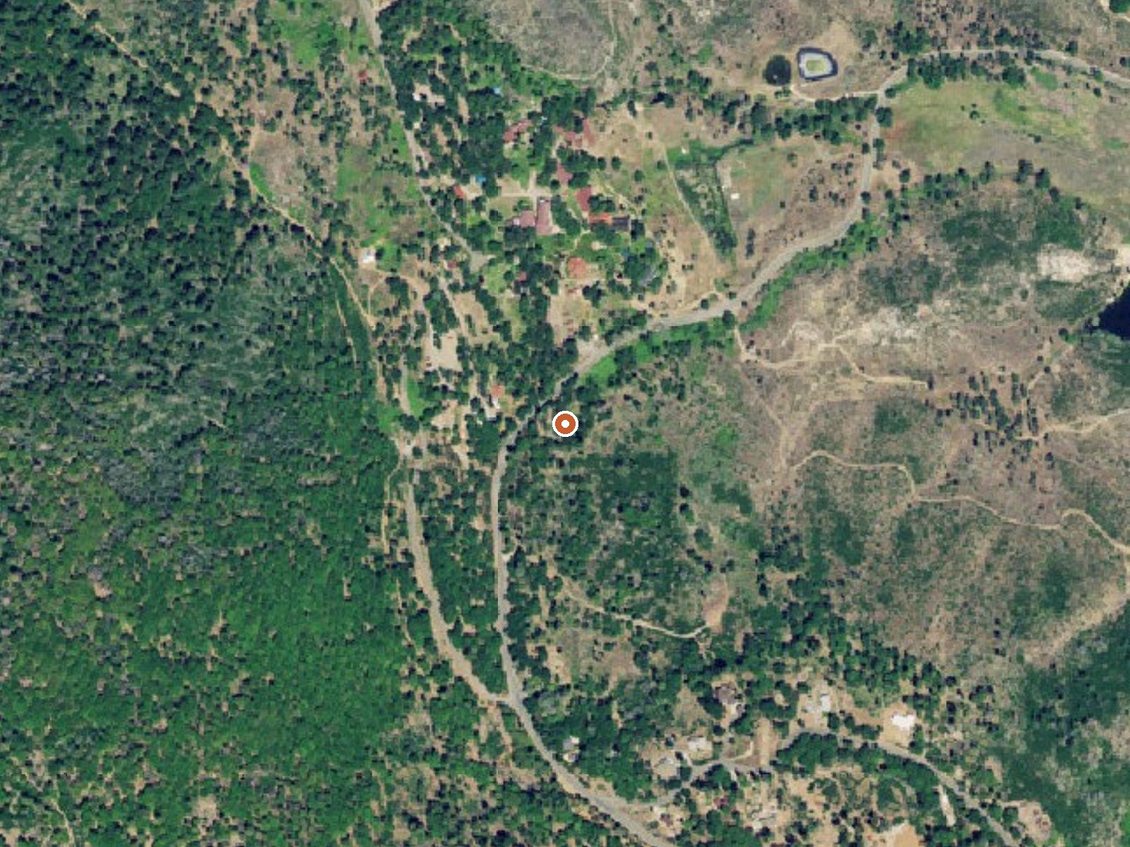
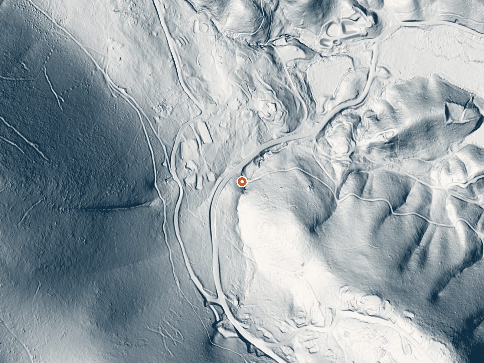
Drag the handle to compare the two views. The orange dot marks the spring, in a frame about three quarters of a mile wide.
Seigler Springs is several hot springs together in Lake County near Cobb, once the center of a resort. The water reads hot, too hot to get into without cooling. The springs sit a hundred feet off Seigler Canyon Road. Ownership and current access are not in the file, and given the resort past, assume the ground is private.
Around twenty-three hundred feet in the hills of Lake County, roadside on Seigler Canyon Road. Winters are wet, close to thirty inches of rain, with a dusting of snow in most years. Summers dry out. Land unit and designation are both blank, which leaves the road as the only firm reference. Cobb is the nearest town, three miles or so.
The record says winter, December through February. Test the water before you get in; the recorded temperature is well into the range that burns. Camping on file is Warm Springs Recreation Area, twenty miles off. Access is not documented and the file shows no fee.
A resort grew up around Seigler Springs in the nineteenth century. It was enlarged in the 1930s. An airport opened nearby in 1947. By the 1960s the resort was in decline.
Aircraft with laser scanners measured this ground to within inches. The scan strips out trees and buildings, leaving the bare shape of the land around Seigler Springs.
- Setting
- Hillside
- The spring sits on a steep slope that climbs to the west.
- Highest ground nearby
- 447 ft above the spring
- Within a quarter mile, to the west
A slice through the ground from west to east, about 0.6 miles end to end.
Elevation data: USGS 3D Elevation Program. Aerial imagery: USGS The National Map. Public domain.
That's about twice the US average of 65. It's higher than at 91% of the springs on this site.
Heat flow measures the warmth working its way up through the ground from deep inside the earth. Where it runs high, rain and snowmelt that seep down through cracks in the rock come back up hot.
See every spring on the geothermal heat map →
Heat flow estimate: Stanford Thermal Earth Model (Aljubran & Horne, 2024), CC BY 4.0.
Some links are affiliate links. We may earn a commission at no extra cost to you.
Overview Warm Springs Recreation Area is a day-use park located at Lake Sonoma, which is just a 45 minute drive north of Santa Rosa and a 2 hour trip from San Francisco. There is no overnight camping available at this facility World famous vineyards and a land rich in history surround the lake, where visitors enjoy boating, fishing and exploring the area's extensive trail network.Recreation The Woodland Ridge Nature Trail begins at the park and winds up the ridge, rewarding hikers with great...
Seigler Springs is road-accessible, so you can bring more gear. The water runs hot, so extra hydration is key.




As an Amazon Associate, we earn from qualifying purchases.
Springs Near Seigler Springs
More Springs Around 126°F
Hike 3 waterfalls near Seigler Springs
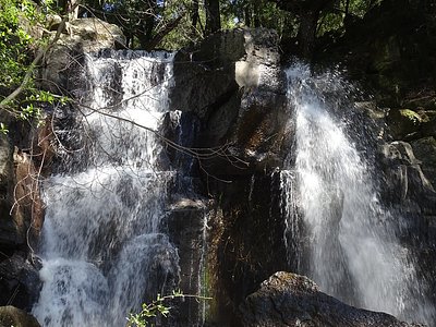
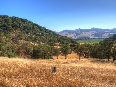
Looking for more outdoor adventures? Explore waterfall hikes near Seigler Springs, California.