Unnamed Thermal Spring
Toiyabe National Forest holds this unnamed thermal point in Douglas County, about nine miles out of Gardnerville Ranchos. The reading on record is 149 degrees, scalding at the source. Nobody should step into water that hot without first finding where it has cooled. Forest Service land, access listed as open.
A road listed on file as Barney Riley comes within a couple tenths of a mile; the record calls that a short walk. The spring sits a little above five thousand feet. Winters are heavy here. Close to ten feet of snow falls most years, and annual precipitation is a bit over two feet.
Expect snow underfoot; the record's months are winter, December through February, so plan the drive accordingly. Indian Creek Campground is four miles or so distant. Treat the source with caution: 149 degree water burns almost instantly. Test before touching. No fee shows up on the record, and no second name from OpenStreetMap either.
Aircraft with laser scanners measured this ground to within inches. The scan strips out trees and buildings, leaving the bare shape of the land around this spring.
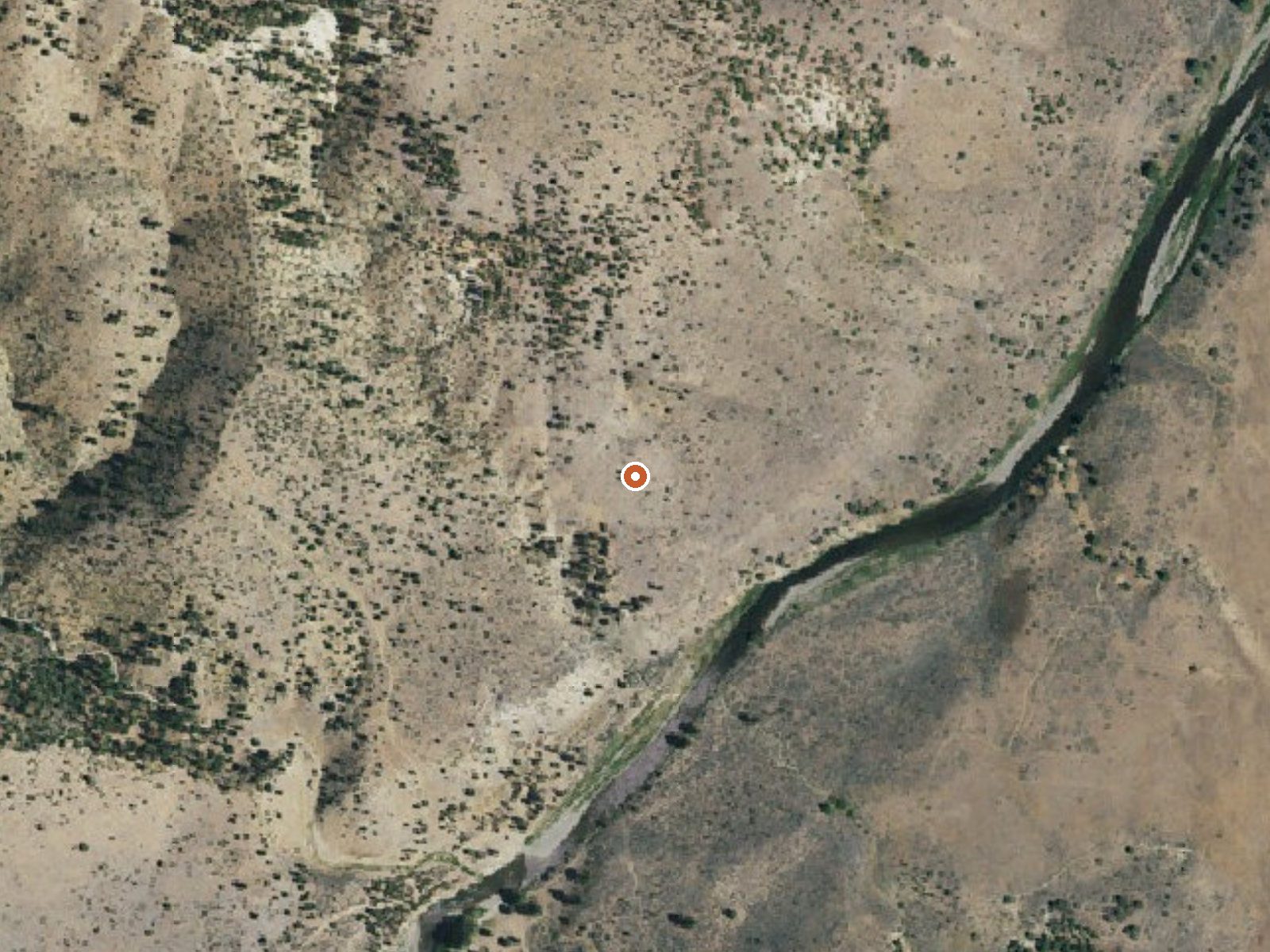
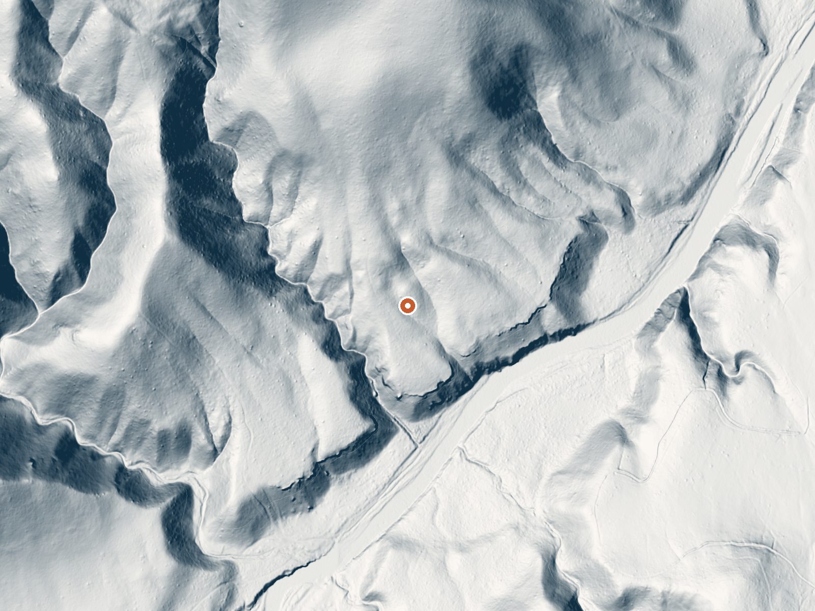
Drag the handle to compare the two views. The orange dot marks the spring, in a frame about three quarters of a mile wide.
- Setting
- Hillside
- The spring sits on a steep slope that climbs to the north.
- Highest ground nearby
- 303 ft above the spring
- Within a quarter mile, to the north
A slice through the ground from south to north, about 0.6 miles end to end.
Elevation data: USGS 3D Elevation Program. Aerial imagery: USGS The National Map. Public domain.
That's about twice the US average of 65. It's higher than at 65% of the springs on this site.
Heat flow measures the warmth working its way up through the ground from deep inside the earth. Where it runs high, rain and snowmelt that seep down through cracks in the rock come back up hot.
See every spring on the geothermal heat map →
Heat flow estimate: Stanford Thermal Earth Model (Aljubran & Horne, 2024), CC BY 4.0.
Some links are affiliate links. We may earn a commission at no extra cost to you.
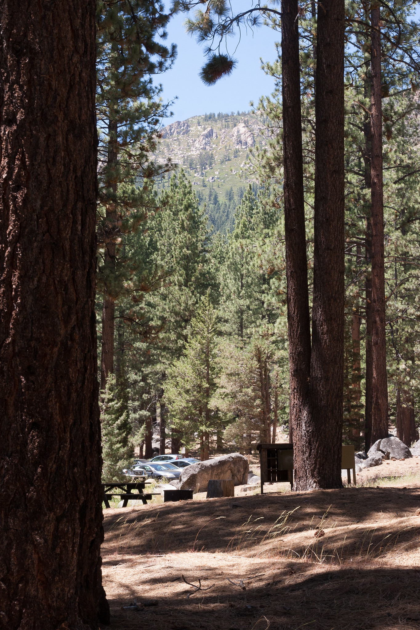
Overview Due to the extensive damage sustained in the 2021 Tamarack Fire, Indian Creek Campground is CLOSED at this time and will remain closed until the area can be made safe for public access and facilities can be rebuilt. Updated Press Release . Indian Creek Campground is nestled in the eastern foothills of the Sierra Nevada between the California towns of Woodfords and Markleeville. Elevation in the area ranges from 5,600 feet at the reservoir to 6,400 feet in the surrounding foothills....
this spring sits at 5,311 feet above sea level, way above the mile-high mark. You may not feel the altitude strongly, but hot water still dehydrates you faster at elevation. UV is about 21% stronger than at sea level, so bring sunscreen and drink more water than you normally would.



As an Amazon Associate, we earn from qualifying purchases.
this spring is road-accessible, so you can bring more gear. The water is dangerously hot, so bring water shoes and test pools carefully.





As an Amazon Associate, we earn from qualifying purchases.
Springs Near This Spring
More Springs Around 149°F
Hike 6 waterfalls near this spring

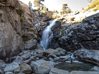
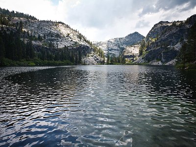
Looking for more outdoor adventures? Explore waterfall hikes near this spring, California.