Unnamed Thermal Spring
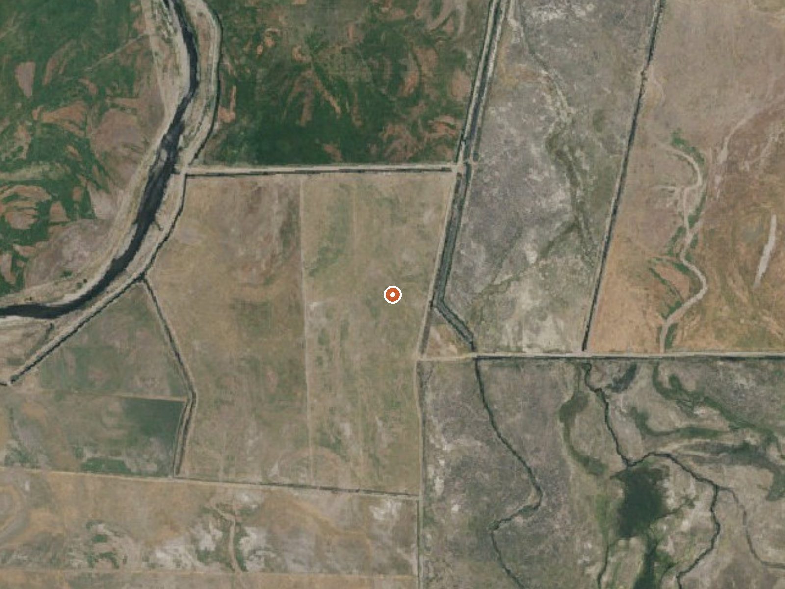
The orange dot marks the spring, in a frame about three quarters of a mile wide.
An unnamed thermal point right at Smith Valley in Lyon County; the record gives the distance to town as zero. It is tagged warm with no temperature measured, so nothing on file says it can be soaked in. Ownership and access are blank. There is no photograph either, and no second name.
Roadside, under two hundred feet from a road that goes nameless on file. The spot is high, around five thousand feet, and winters are snowy, with close to five feet falling in a normal year and about a foot and a half of total precipitation. The annual mean hovers around fifty.
The record gives no best months. Centerville Flat Campground is roughly twelve miles off. The temperature is not on file. Same for the landowner and the access situation. This one needs verifying on the ground before it is worth a detour.
USGS hasn't flown a detailed laser scan here yet, so this view comes from aerial photos and older elevation data.
- Setting
- Open ground
- Flat, open ground all around.
- Highest ground nearby
- 6 ft above the spring
- Within a quarter mile, to the south
A slice through the ground from north to south, about 0.6 miles end to end.
Elevation data: USGS 3D Elevation Program. Aerial imagery: USGS The National Map. Public domain.
That's about 1½ times the US average of 65. It's higher than at 38% of the springs on this site.
Heat flow measures the warmth working its way up through the ground from deep inside the earth. Where it runs high, rain and snowmelt that seep down through cracks in the rock come back up hot.
See every spring on the geothermal heat map →
Heat flow estimate: Stanford Thermal Earth Model (Aljubran & Horne, 2024), CC BY 4.0.
Springs Near This Spring
Hike 6 waterfalls near this spring
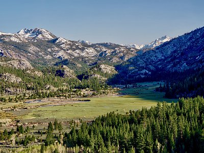
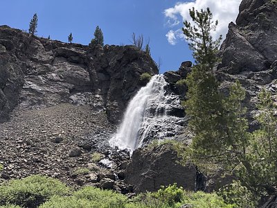
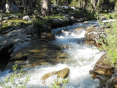
Looking for more outdoor adventures? Explore waterfall hikes near this spring, California.