Grover Hot Springs State Park
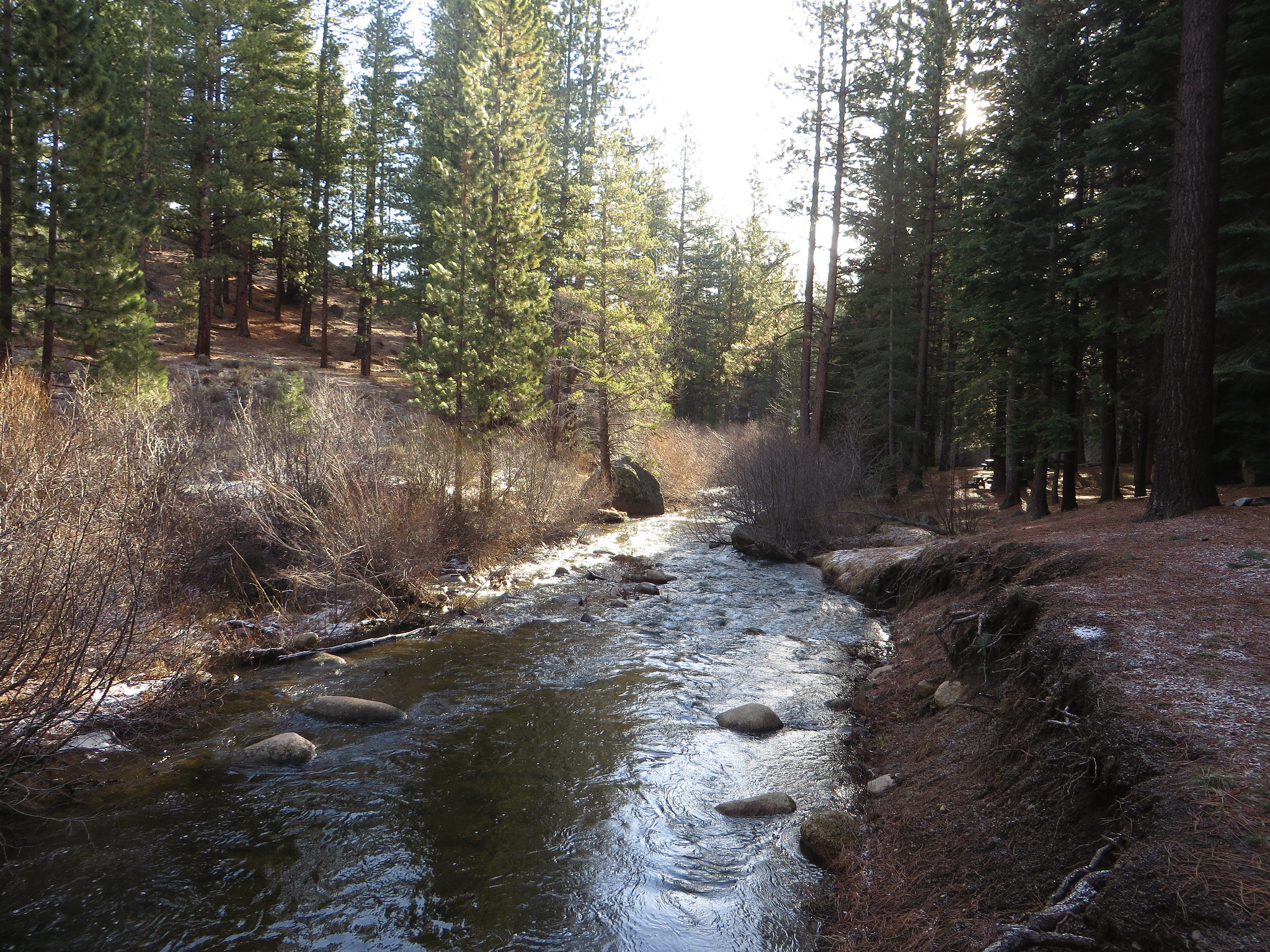
Grover Hot Springs State Park is a developed park with a swimming pool complex fed by hot springs, on the east side of the Sierra Nevada. Wikipedia describes it as a California state park; the record places it in Douglas County about fourteen miles from Gardnerville Ranchos, and lists the park itself as the land unit. No spring temperature is on file, so this page cannot tell you how hot the pools run. Access is open.
This is state park land. The pool complex sits under five hundred feet from the nearest road, a short walk. At nearly six thousand feet on the Sierra's east side the winters are long and deep; around thirteen feet of snow is typical, with roughly thirty inches of precipitation for the year. Wikipedia mentions a campground and hiking trails inside the park.
There is no best-months figure on record, so go by the snow: that much of it in a normal winter means the warm season is when the park is easiest to reach. Camping is listed nearby at Silver Lake East-Eldorado, around three miles off, on top of whatever the park's own campground provides. Fees are not on record. Check the park's pool hours and water temperature directly, since neither is on file here.
The park was established in 1959 and covers 553 acres on the eastern side of the Sierra Nevada, according to Wikipedia. It is run as a state park, which is also how the land designation reads on file. The hot springs feed a swimming pool complex, and the park holds a campground, picnic area and trails.
Aircraft with laser scanners measured this ground to within inches. The scan strips out trees and buildings, leaving the bare shape of the land around Grover Hot Springs State Park.
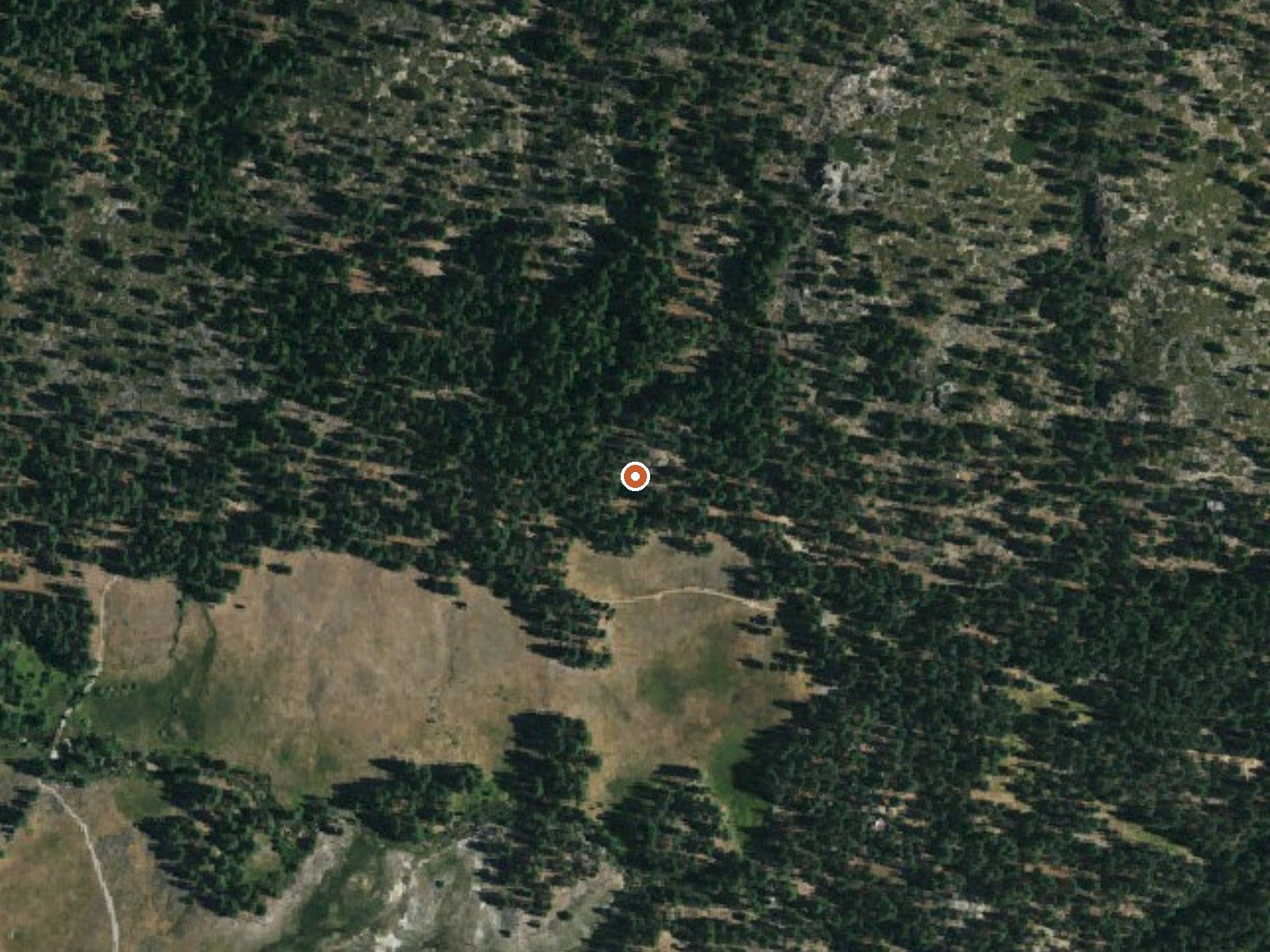
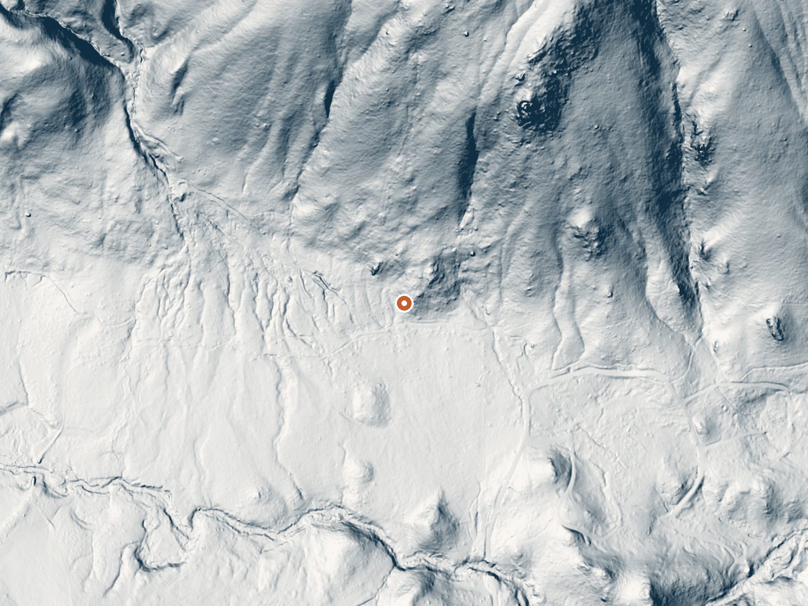
Drag the handle to compare the two views. The orange dot marks the spring, in a frame about three quarters of a mile wide.
- Setting
- Hillside
- The spring sits on a steep slope that climbs to the northeast.
- Highest ground nearby
- 500 ft above the spring
- Within a quarter mile, to the northeast
A slice through the ground from south to north, about 0.6 miles end to end.
Elevation data: USGS 3D Elevation Program. Aerial imagery: USGS The National Map. Public domain.
That's about twice the US average of 65. It's higher than at 79% of the springs on this site.
Heat flow measures the warmth working its way up through the ground from deep inside the earth. Where it runs high, rain and snowmelt that seep down through cracks in the rock come back up hot.
See every spring on the geothermal heat map →
Heat flow estimate: Stanford Thermal Earth Model (Aljubran & Horne, 2024), CC BY 4.0.
Some links are affiliate links. We may earn a commission at no extra cost to you.
Overview Silver Lake East is located 50 miles east of Jackson, California, just a short distance from the shores of Silver lake, where activities like boating, fishing, swimming and hiking, provide campers with the perfect outdoors retreat. Numerous trails leaving the campground connect with the lake and swimming beaches. Silver Lake West is adjacent to Silver Lake East on the other side of Highway 88, and offers additional trails and access to the Silver Fork of the American River. Recrea...
Grover Hot Springs State Park sits at 5,921 feet above sea level, way above the mile-high mark. You may not feel the altitude strongly, but hot water still dehydrates you faster at elevation. UV is about 24% stronger than at sea level, so bring sunscreen and drink more water than you normally would.



As an Amazon Associate, we earn from qualifying purchases.
Grover Hot Springs State Park is road-accessible, so you can bring more gear.






As an Amazon Associate, we earn from qualifying purchases.
Springs Near Grover Hot Springs State Park
Hike 6 waterfalls near Grover Hot Springs State Park
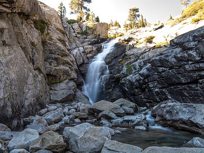
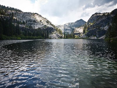
Looking for more outdoor adventures? Explore waterfall hikes near Grover Hot Springs State Park, Nevada.