Myers Warm Spring
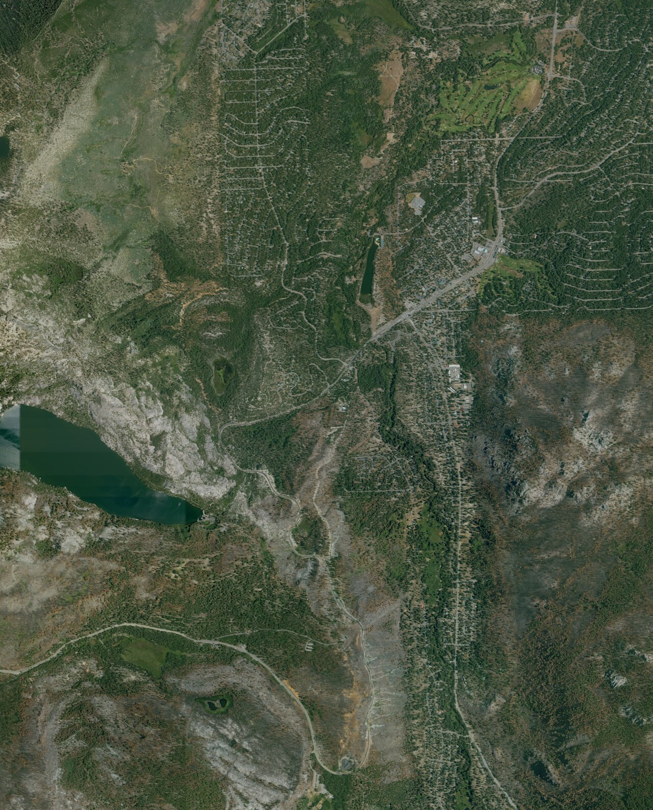
Myers Warm Spring sits beside Route 50 in El Dorado County a few miles from South Lake Tahoe, high in the Sierra. The water is tepid, mid seventies. Its mineral content is almost nothing. Nobody has logged an owner or an access status. It matters mostly as a roadside curiosity.
Route 50 runs sixty-some feet away, and the ground here is above seventy-five hundred feet. Snow country. A typical winter dumps fifteen feet of it, and the annual average temperature is cold. Fallen Leaf campground lies around five miles off.
The record's best months, December through February, fall in the middle of the snow season at this elevation, so read that with care. Summer is when the ground is clear. The 2007 water sample showed very soft, slightly acidic water. Ownership unknown, access unrecorded. Too cool for a real soak.
A USGS site, 384900120020001, marks the spring, and the chemistry on file was sampled there in July 2007.
Aircraft with laser scanners measured this ground to within inches. The scan strips out trees and buildings, leaving the bare shape of the land around Myers Warm Spring.
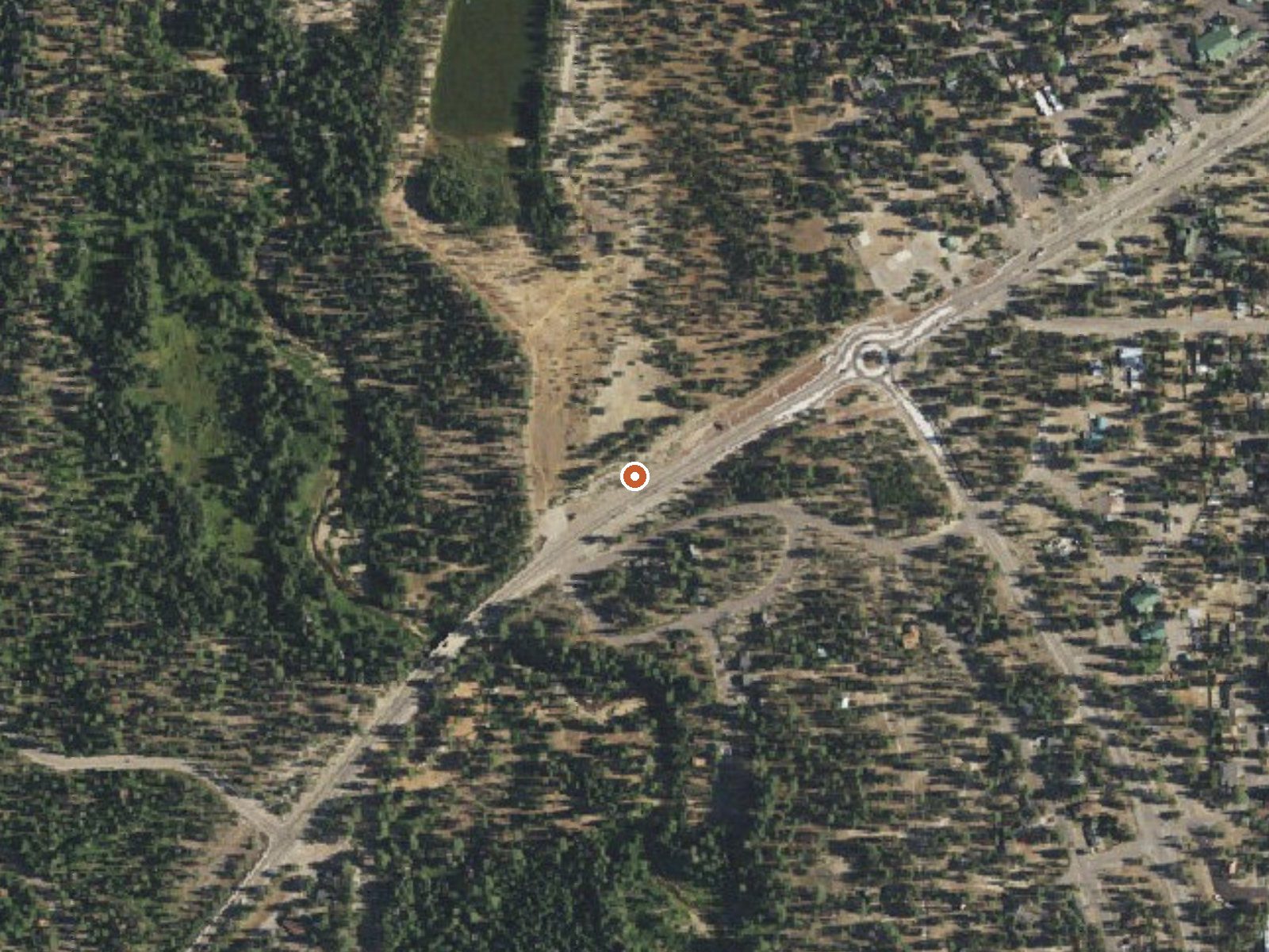
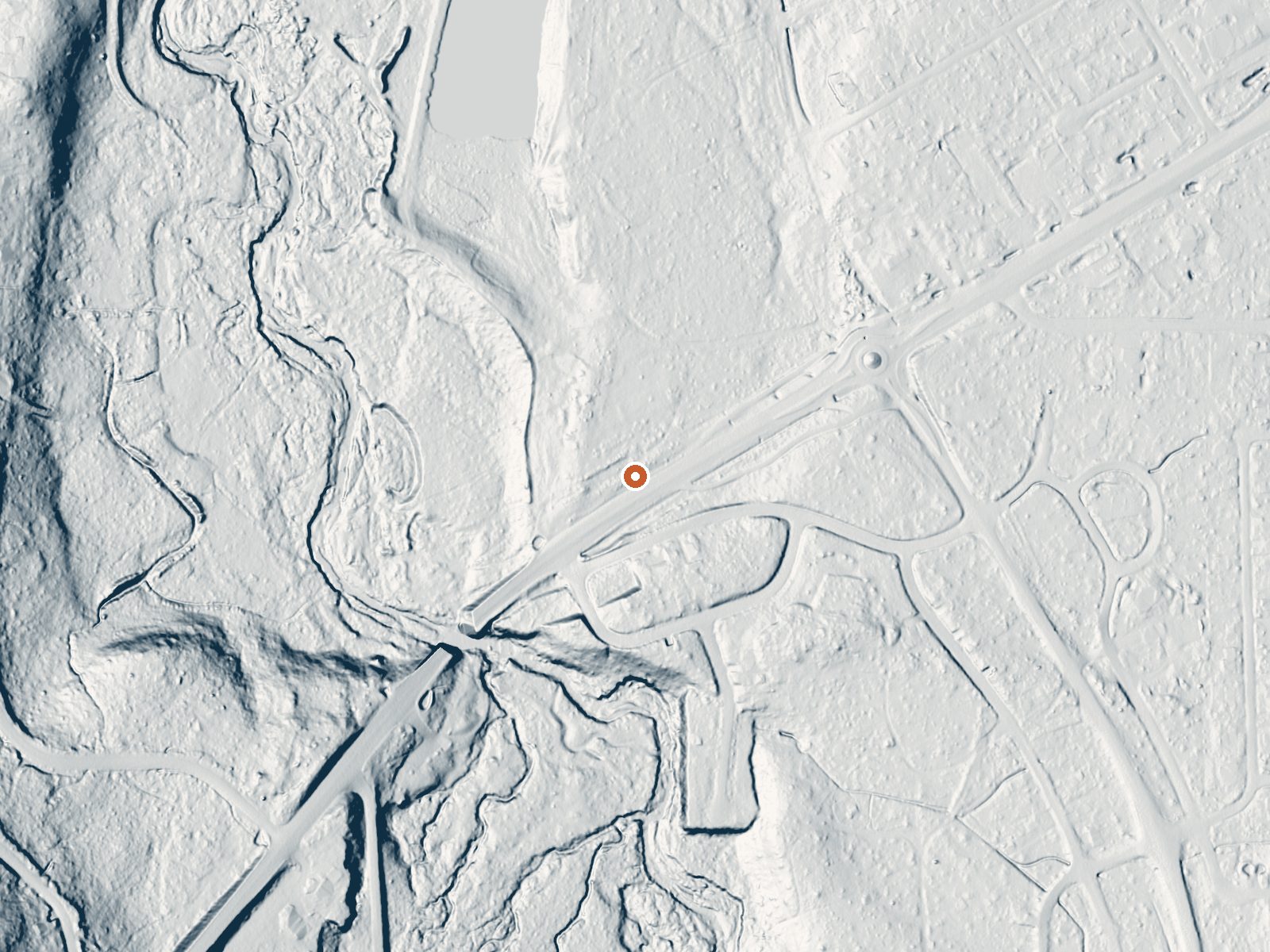
Drag the handle to compare the two views. The orange dot marks the spring, in a frame about three quarters of a mile wide.
- Setting
- Open ground
- Flat, open ground all around.
- Highest ground nearby
- 25 ft above the spring
- Within a quarter mile, to the southwest
A slice through the ground from north to south, about 0.6 miles end to end.
Elevation data: USGS 3D Elevation Program. Aerial imagery: USGS The National Map. Public domain.
That's about 1½ times the US average of 65. It's higher than at 48% of the springs on this site.
Heat flow measures the warmth working its way up through the ground from deep inside the earth. Where it runs high, rain and snowmelt that seep down through cracks in the rock come back up hot.
See every spring on the geothermal heat map →
Heat flow estimate: Stanford Thermal Earth Model (Aljubran & Horne, 2024), CC BY 4.0.
The water at Myers Warm Spring is slightly acidic (pH 5.9) with 40 mg/L total dissolved solids.
Some links are affiliate links. We may earn a commission at no extra cost to you.
Overview Fallen Leaf Campground is situated on the north shore of Fallen Leaf Lake and adjacent to Taylor Creek. The south shore of Lake Tahoe is less than a mile away. The campground features 206 sites that include six yurts and standard tent and RV sites. The campground is typically open from mid-May through mid-October. Fallen Leaf Lake is less crowded and not as well-known as Lake Tahoe, making this a great base camp for exploring the many sights and recreational activities in the area. I...
Myers Warm Spring sits at 7,615 feet above sea level, way above the mile-high mark. You may not feel the altitude strongly, but hot water still dehydrates you faster at elevation. UV is about 30% stronger than at sea level, so bring sunscreen and drink more water than you normally would.



As an Amazon Associate, we earn from qualifying purchases.
Myers Warm Spring is road-accessible, so you can bring more gear.






As an Amazon Associate, we earn from qualifying purchases.
Springs Near Myers Warm Spring
More Springs Around 75°F
Slightly Acidic Springs (pH ~5.9)
Hike 6 waterfalls near Myers Warm Spring
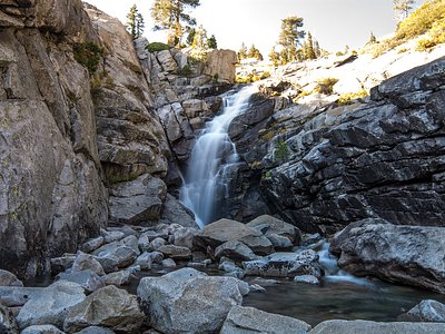
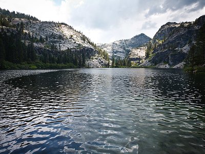
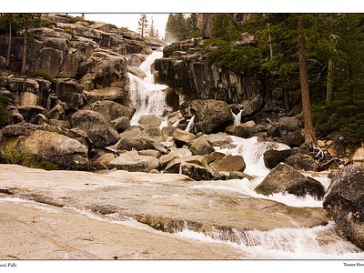

Looking for more outdoor adventures? Explore waterfall hikes near Myers Warm Spring, California.