Deseret Livestock
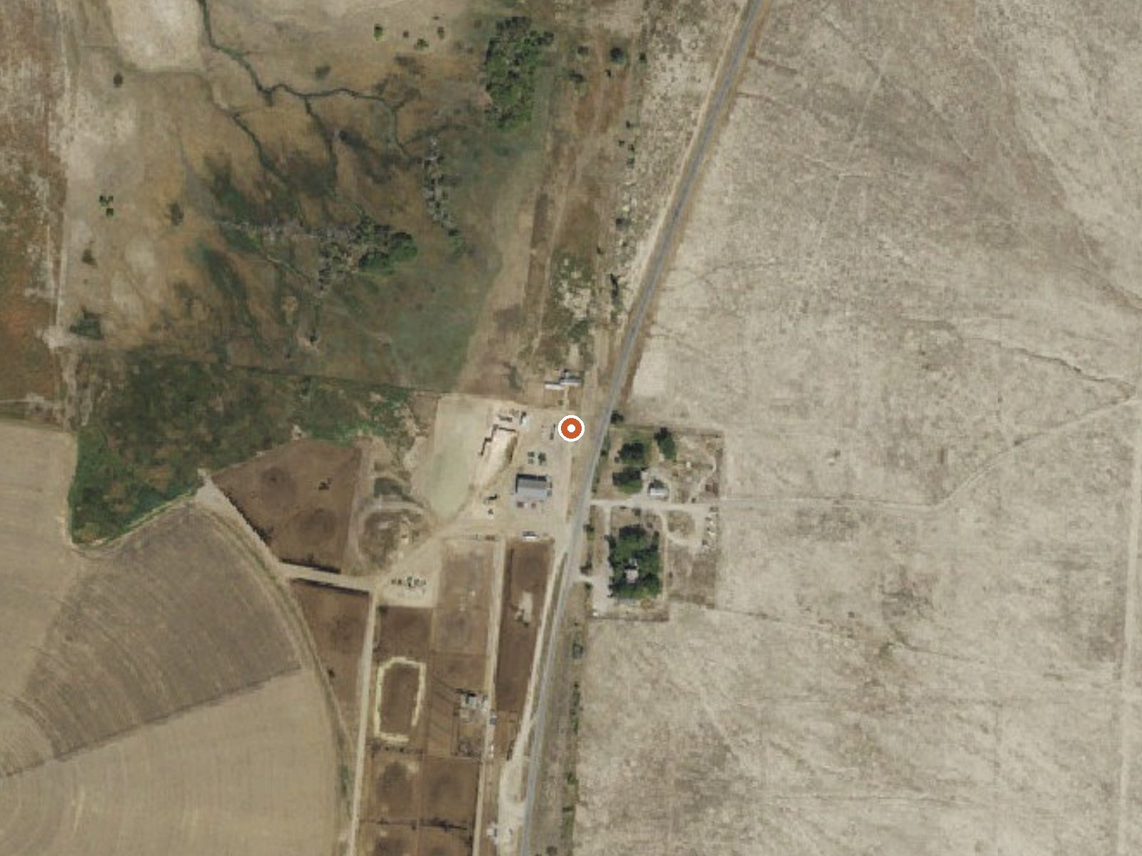
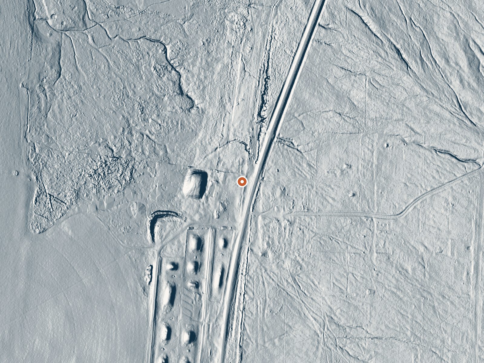
Drag the handle to compare the two views. The orange dot marks the spring, in a frame about three quarters of a mile wide.
Deseret Livestock is a warm spring off Skull Valley Road in Tooele County, about fifteen miles out from Grantsville. Nobody has put down an owner or an access status, so treat it as private until you learn otherwise. The water is tepid, low seventies. There is no analysis of it at all, only a temperature and a location.
It lies 110 feet off Skull Valley Road, no walking involved. Valley floor at mid elevation, with winters that drop about thirty inches of snow and a dry twelve inches of precipitation. Loop Campground, eight miles away, is the camping named in the record. The road itself is the one landmark you can count on.
Winter is the listed season. Roadside means easy, but the lack of an ownership entry means you should ask. The temperature is a single survey reading. Loop Campground makes the obvious overnight. Grantsville is the closest town for supplies. Two similarly named springs sit nearby on this site, so make sure you are looking at the right entry.
Aircraft with laser scanners measured this ground to within inches. The scan strips out trees and buildings, leaving the bare shape of the land around Deseret Livestock.
- Setting
- Open ground
- Flat, open ground all around.
- Highest ground nearby
- 57 ft above the spring
- Within a quarter mile, to the southeast
A slice through the ground from northwest to southeast, about 0.6 miles end to end.
Elevation data: USGS 3D Elevation Program. Aerial imagery: USGS The National Map. Public domain.
That's about twice the US average of 65. It's higher than at 68% of the springs on this site.
Heat flow measures the warmth working its way up through the ground from deep inside the earth. Where it runs high, rain and snowmelt that seep down through cracks in the rock come back up hot.
See every spring on the geothermal heat map →
Heat flow estimate: Stanford Thermal Earth Model (Aljubran & Horne, 2024), CC BY 4.0.
Overview Loop Campground is located southwest of Grantsville, Utah, in South Willow Canyon at an elevation of 7,400 feet. It’s located in the Stansbury Range where visitors enjoy exploring local trails. Recreation The multi-use Stansbury Front Trail and Medina Flat Trail begin across the road from the entrance, offering access to the rugged Deseret Peak Wilderness. Willow Creek offers rainbow and brown trout fishing. Facilities This campground has 9 single sites and 1 double site and has vaul...