Browns Springs
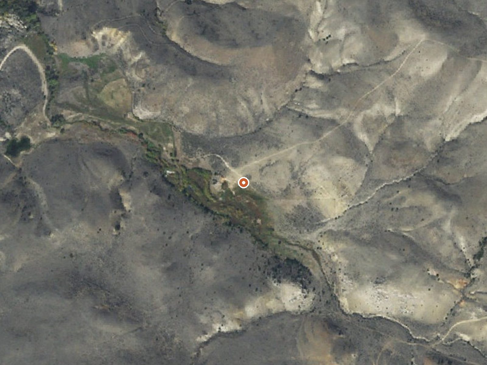
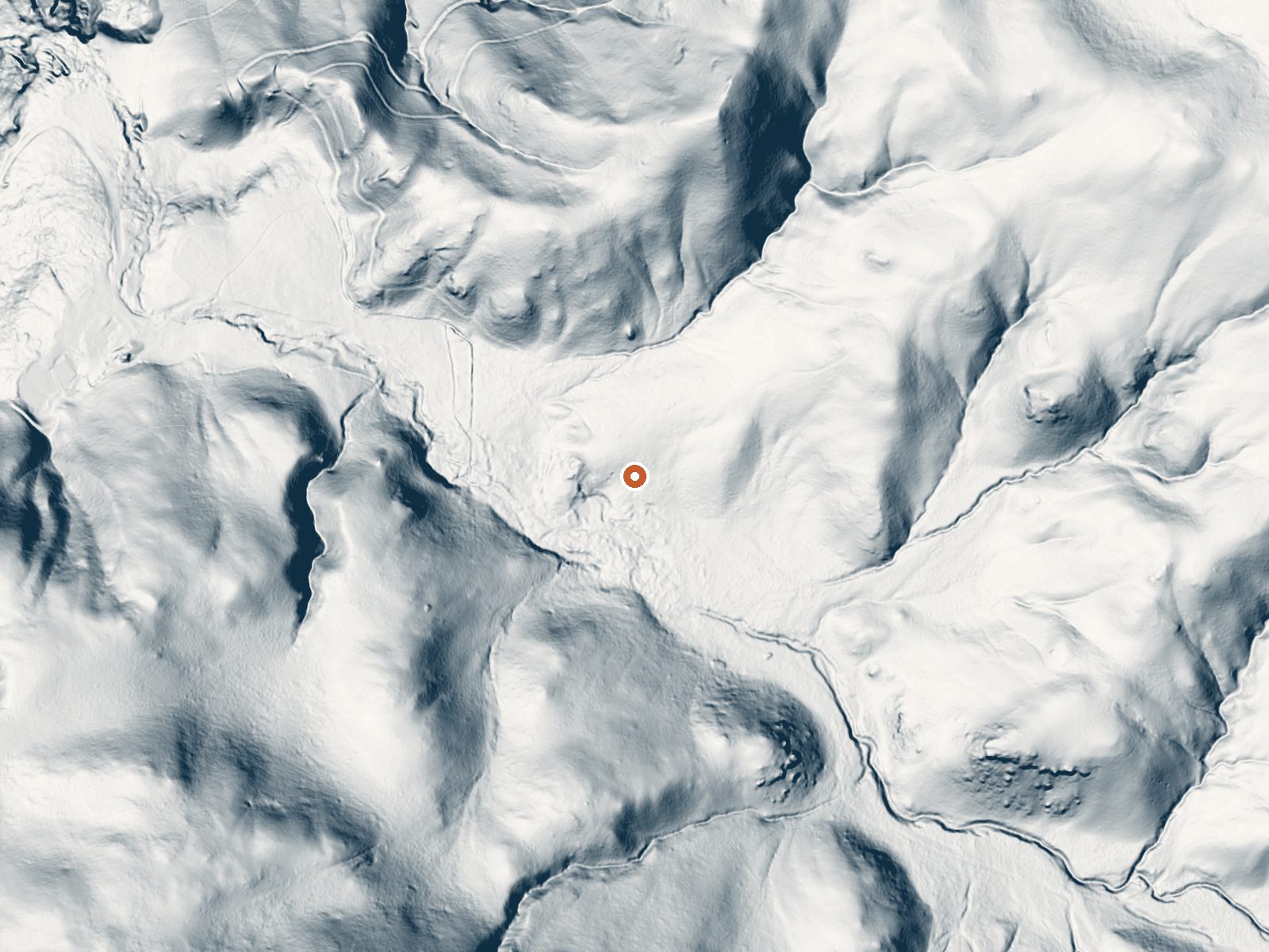
Drag the handle to compare the two views. The orange dot marks the spring, in a frame about three quarters of a mile wide.
Browns Springs runs warm about ten miles from Dillon in Beaverhead County. Warm is generous; the water is tepid, the temperature of a pool left in the shade. The record has no owner and no access status, and it has no photo. What it does have is a roadside location, forty feet from the road, so at least nobody needs to hunt for it.
It lies at moderate elevation in the dry southwest of the state, where winter snowfall is moderate and rain is scarce. The road it sits beside goes unnamed on the record. Whoever owns the ground has not been identified.
Henneberry House is the closest camp listed, under three miles away. The record picks the dead of winter as the best months, and snow here is light enough that the road may stay passable, though nobody has confirmed that. Chemistry is absent and so is a survey date. Assume private land until you know otherwise and ask before stepping off the road.
Aircraft with laser scanners measured this ground to within inches. The scan strips out trees and buildings, leaving the bare shape of the land around Browns Springs.
- Setting
- Valley floor
- Gentle slopes rise on both sides.
- Highest ground nearby
- 154 ft above the spring
- Within a quarter mile, to the southwest
A slice through the ground from west to east, about 0.6 miles end to end.
Elevation data: USGS 3D Elevation Program. Aerial imagery: USGS The National Map. Public domain.
That's about twice the US average of 65. It's higher than at 69% of the springs on this site.
Heat flow measures the warmth working its way up through the ground from deep inside the earth. Where it runs high, rain and snowmelt that seep down through cracks in the rock come back up hot.
See every spring on the geothermal heat map →
Heat flow estimate: Stanford Thermal Earth Model (Aljubran & Horne, 2024), CC BY 4.0.
Overview The Dillon Field Office is unable to make reservations for you. Please call Recreation.gov (877-444-6777) to book a reservation or book online. This historic cabin, built in 1905, is located approximately 14 miles south of Dillon, Montana, on the banks of the Beaverhead River. The cabin provides access to a variety of outdoor recreational activities on adjacent public lands. The cabin and surrounding lands are managed by the Bureau of Land Management. Recreation Recreation opportu...
Browns Springs sits at 5,592 feet above sea level, way above the mile-high mark. You may not feel the altitude strongly, but hot water still dehydrates you faster at elevation. UV is about 22% stronger than at sea level, so bring sunscreen and drink more water than you normally would.



As an Amazon Associate, we earn from qualifying purchases.