Ash Tree Spring
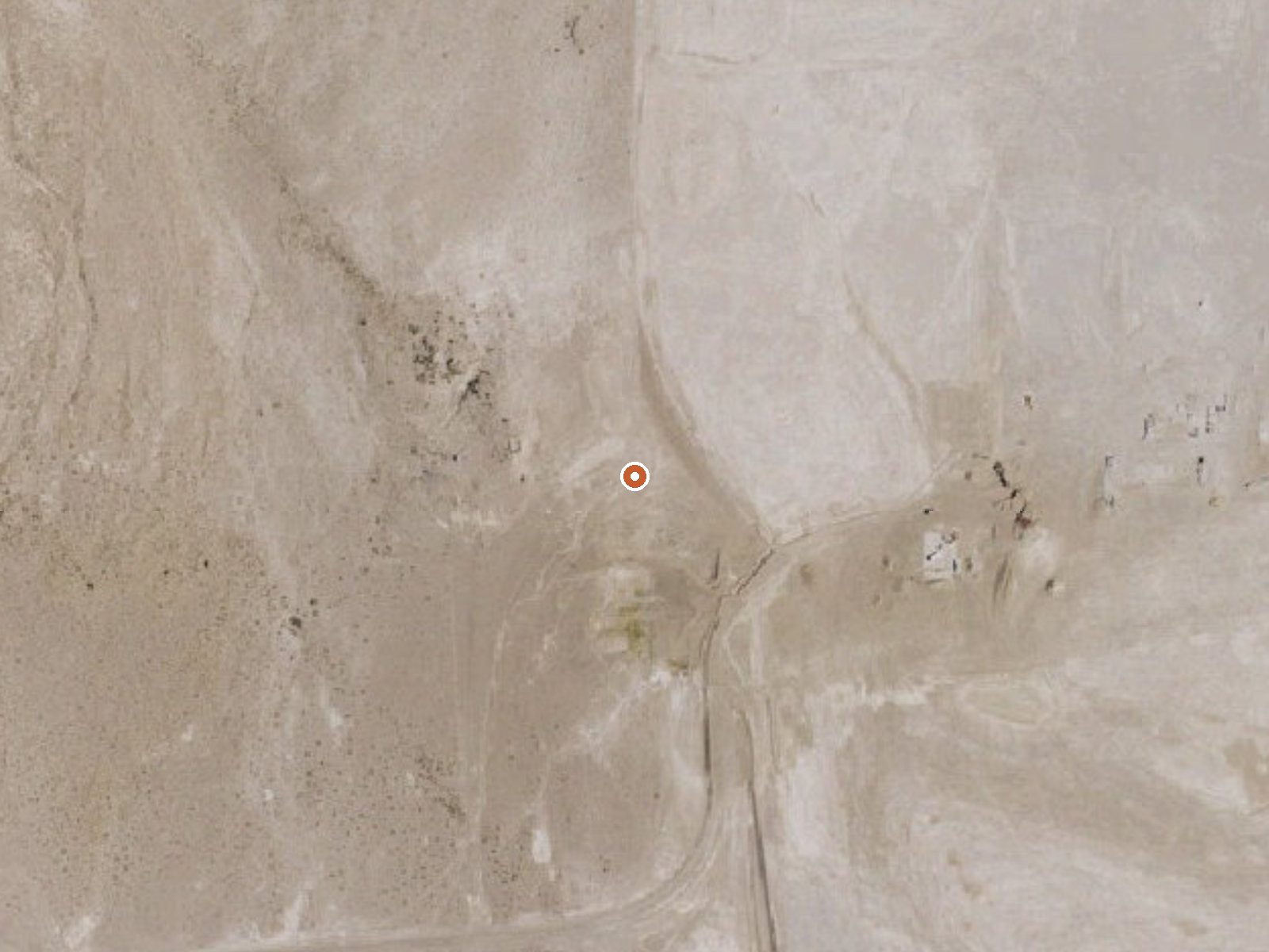
The orange dot marks the spring, in a frame about three quarters of a mile wide.
Ash Tree Spring is a warm desert spring on BLM land in Nye County, Nevada, some 27 miles out of Pahrump. The water is warm, mid-seventies, comfortable on a cool evening and nowhere near hot. Open access, public ground, and the closest road lies under five hundred feet off. Low and very dry.
At 2,200 feet this is low desert, with no snow to speak of and about four inches of rain a year. The road, unnamed on file, is a short walk off. Pahrump Field Office manages the land. No campground appears within range, and the outlet goes undescribed. A USGS site number is the only other record.
Winter is the season; summers here run hot. The water is safe to touch. No sample, no fee, no image. Open BLM land, short walk. The USGS has a number for it and no chemistry, so the temperature stands alone.
USGS hasn't flown a detailed laser scan here yet, so this view comes from aerial photos and older elevation data.
- Setting
- Gentle slope
- The ground tilts gently up to the east.
- Highest ground nearby
- 39 ft above the spring
- Within a quarter mile, to the east
A slice through the ground from southwest to northeast, about 0.6 miles end to end.
Elevation data: USGS 3D Elevation Program. Aerial imagery: USGS The National Map. Public domain.
That's about 1½ times the US average of 65. It's higher than at 51% of the springs on this site.
Heat flow measures the warmth working its way up through the ground from deep inside the earth. Where it runs high, rain and snowmelt that seep down through cracks in the rock come back up hot.
See every spring on the geothermal heat map →
Heat flow estimate: Stanford Thermal Earth Model (Aljubran & Horne, 2024), CC BY 4.0.
Springs Near Ash Tree Spring
More Springs Around 75°F
Hike 3 waterfalls near Ash Tree Spring
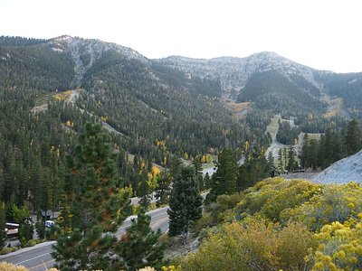
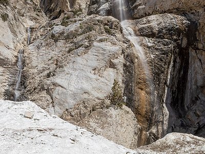
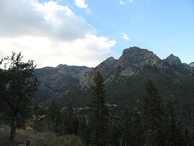
Looking for more outdoor adventures? Explore waterfall hikes near Ash Tree Spring, Nevada.