Browns Spring
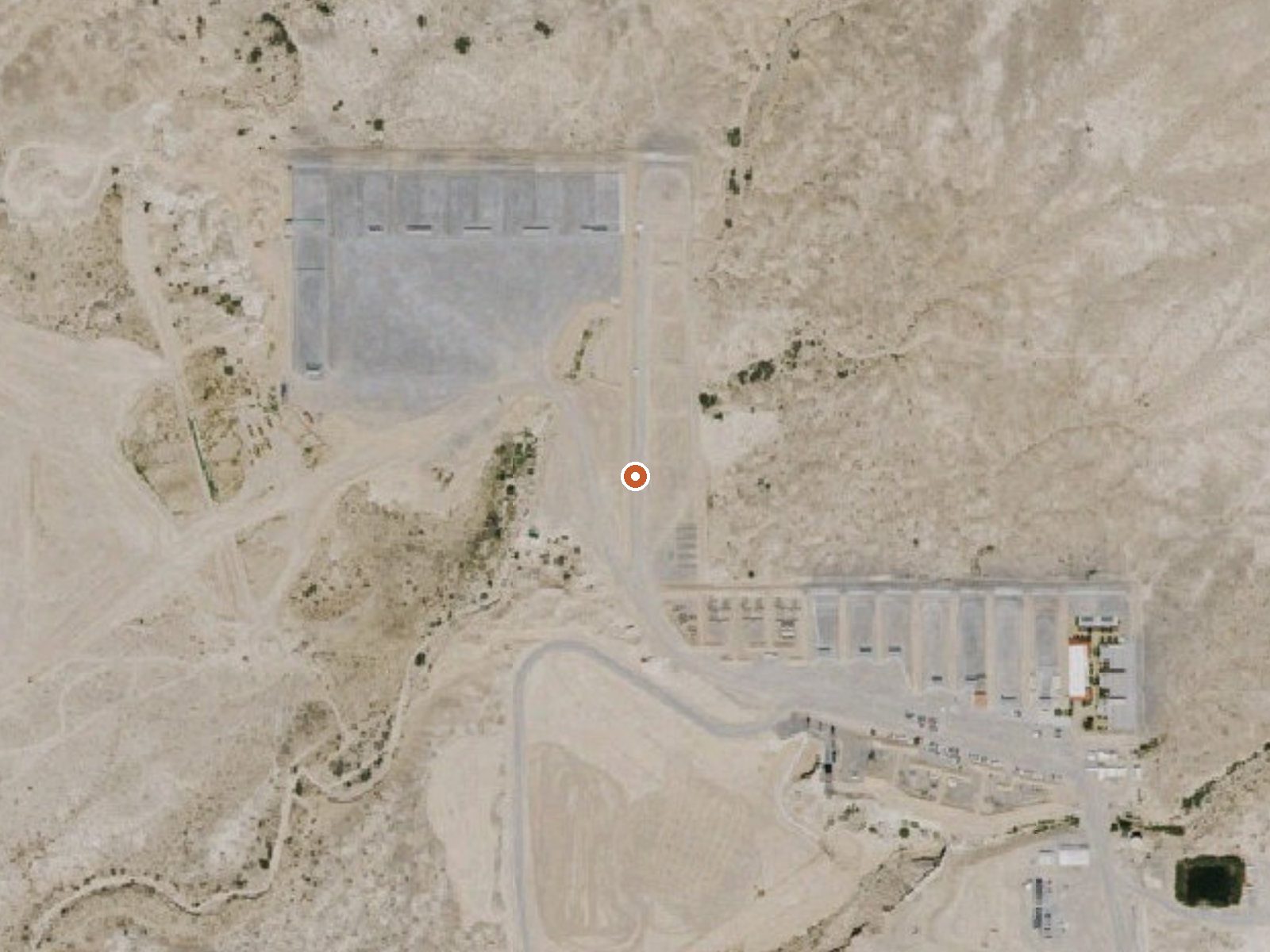
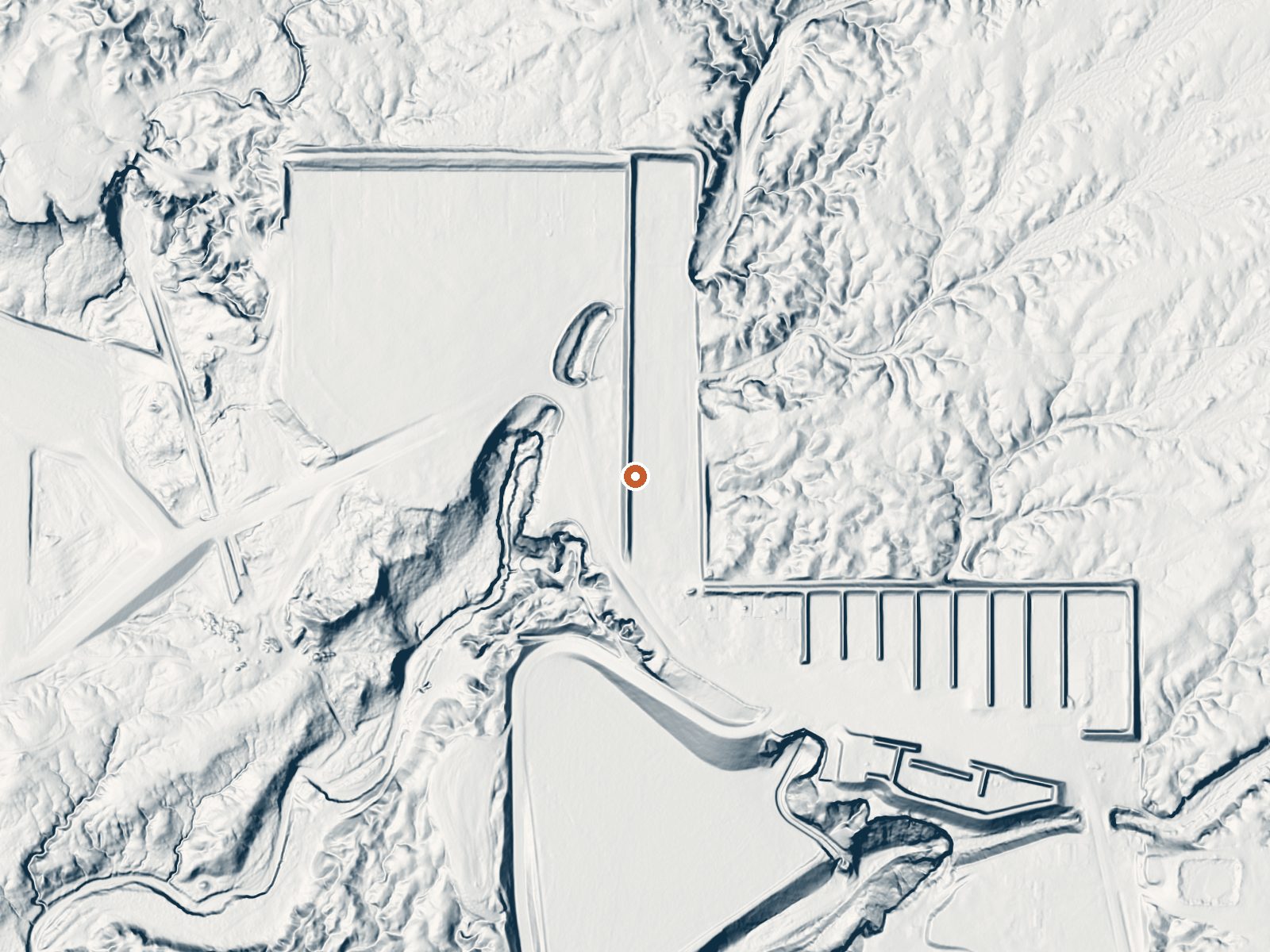
Drag the handle to compare the two views. The orange dot marks the spring, in a frame about three quarters of a mile wide.
Fourteen and a half miles from Pahrump in Nye County, Nevada, Browns Spring holds a place in the USGS thermal inventory and little more. The water is tepid, cooler than skin, far from a soak. Who owns the ground and if you may stand on it are both unrecorded, and no sample has been taken.
Nineteen feet from the road. Low desert where snow is a rarity and the summers run hot, with around five inches of rain in an average year. The file names no land unit and no designation, which leaves private property as a live possibility. Nothing describes the form of the spring.
The best months given are the winter ones. Water this cool cannot hurt anyone. Cathedral Rock Picnic Area is the closest named camping site, twenty-some miles off, and since the record calls it a picnic area you should check if overnighting is allowed there. Access is unrecorded. No fee appears.
Aircraft with laser scanners measured this ground to within inches. The scan strips out trees and buildings, leaving the bare shape of the land around Browns Spring.
- Setting
- Open ground
- Flat, open ground all around.
- Highest ground nearby
- 22 ft above the spring
- Within a quarter mile, to the southeast
A slice through the ground from west to east, about 0.6 miles end to end.
Elevation data: USGS 3D Elevation Program. Aerial imagery: USGS The National Map. Public domain.
That's about 1½ times the US average of 65. It's higher than at 62% of the springs on this site.
Heat flow measures the warmth working its way up through the ground from deep inside the earth. Where it runs high, rain and snowmelt that seep down through cracks in the rock come back up hot.
See every spring on the geothermal heat map →
Heat flow estimate: Stanford Thermal Earth Model (Aljubran & Horne, 2024), CC BY 4.0.
Overview Cathedral Rock Group Picnic Area is located at the top of beautiful Kyle Canyon in the Spring Mountains National Recreation Area, just 30 miles from Las Vegas. Visitors enjoy hiking, horseback riding and scenic driving in this forested desert oasis.Recreation No trails can be accessed through the Picnic Area at the present time. Trails may be found at the Forest Service Trailhead on the other end of Cathedral Rock Picnic Area. The new Spring Mountain Visitor Center is a 15 minute dri...
Springs Near Browns Spring
More Springs Around 75°F
Hike 3 waterfalls near Browns Spring
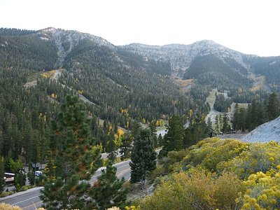
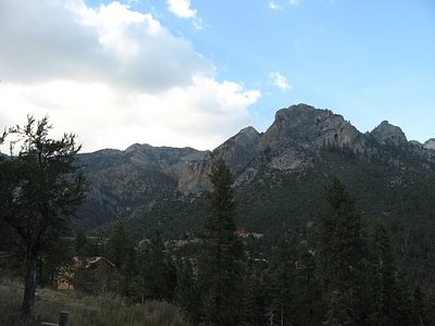
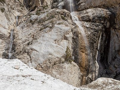
Looking for more outdoor adventures? Explore waterfall hikes near Browns Spring, Nevada.