Redlum Spring
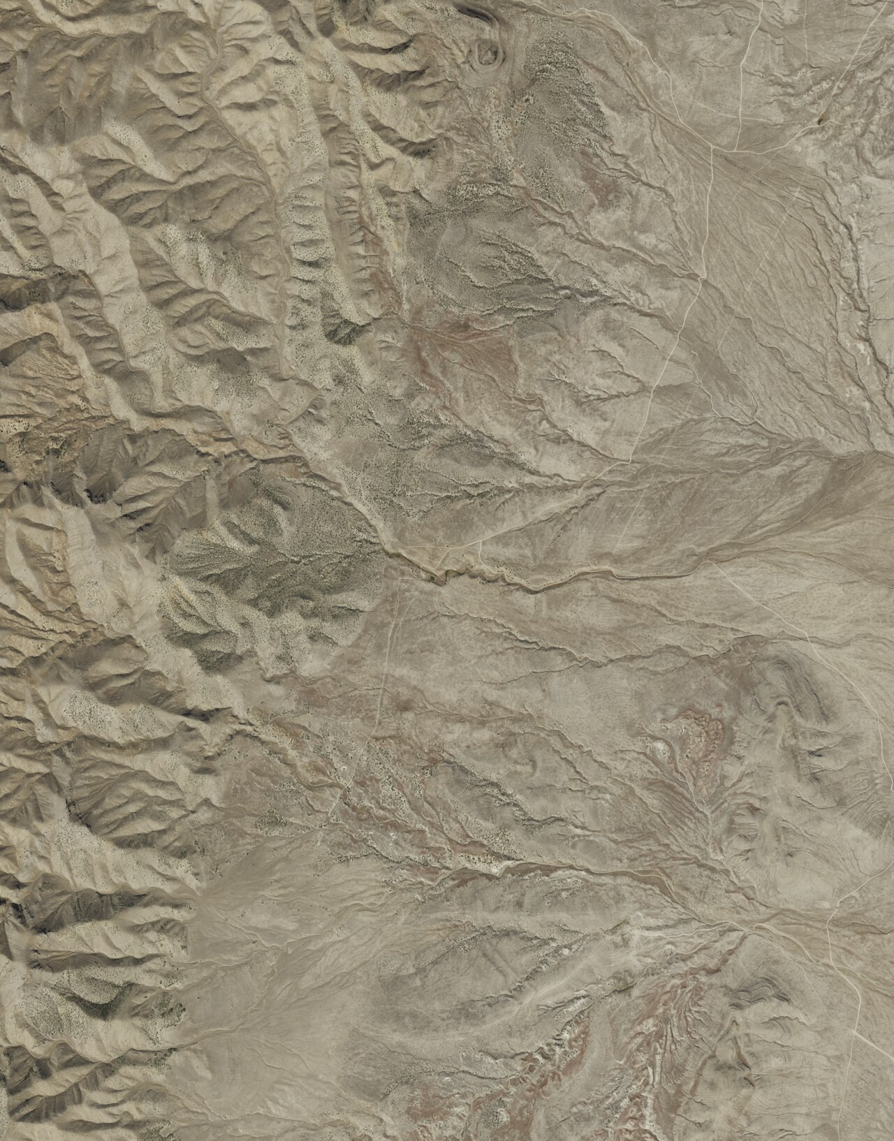
Redlum Spring is a warm seep in Tooele County, out past Grantsville by a little over twenty miles. The water comes up tepid, about the temperature of a cool bath, which puts it below what most people would call a soak. The USGS keeps a monitoring record here, and there is a photo attached. The owner of the land is unknown, and so is whether anyone may visit, so go in with that unsettled.
Getting there ends with a walk of roughly a fifth of a mile off the nearest road, and the record gives that road no name. The country sits under five thousand feet. It is dry out here, around eleven inches of moisture a year, and snow is light by Utah standards. No managing agency is named. What the ground around the source looks like is not described anywhere in the record.
Winter carries the best rating, December through February. Expect a short walk at the end, no drive-up. Loop Campground is the camping on file, close to twenty miles away. Before you go, find out who owns the land, because no access is on record. The temperature figure is from the USGS site and is cool enough that the water will feel refreshing more than relaxing.
Aircraft with laser scanners measured this ground to within inches. The scan strips out trees and buildings, leaving the bare shape of the land around Redlum Spring.
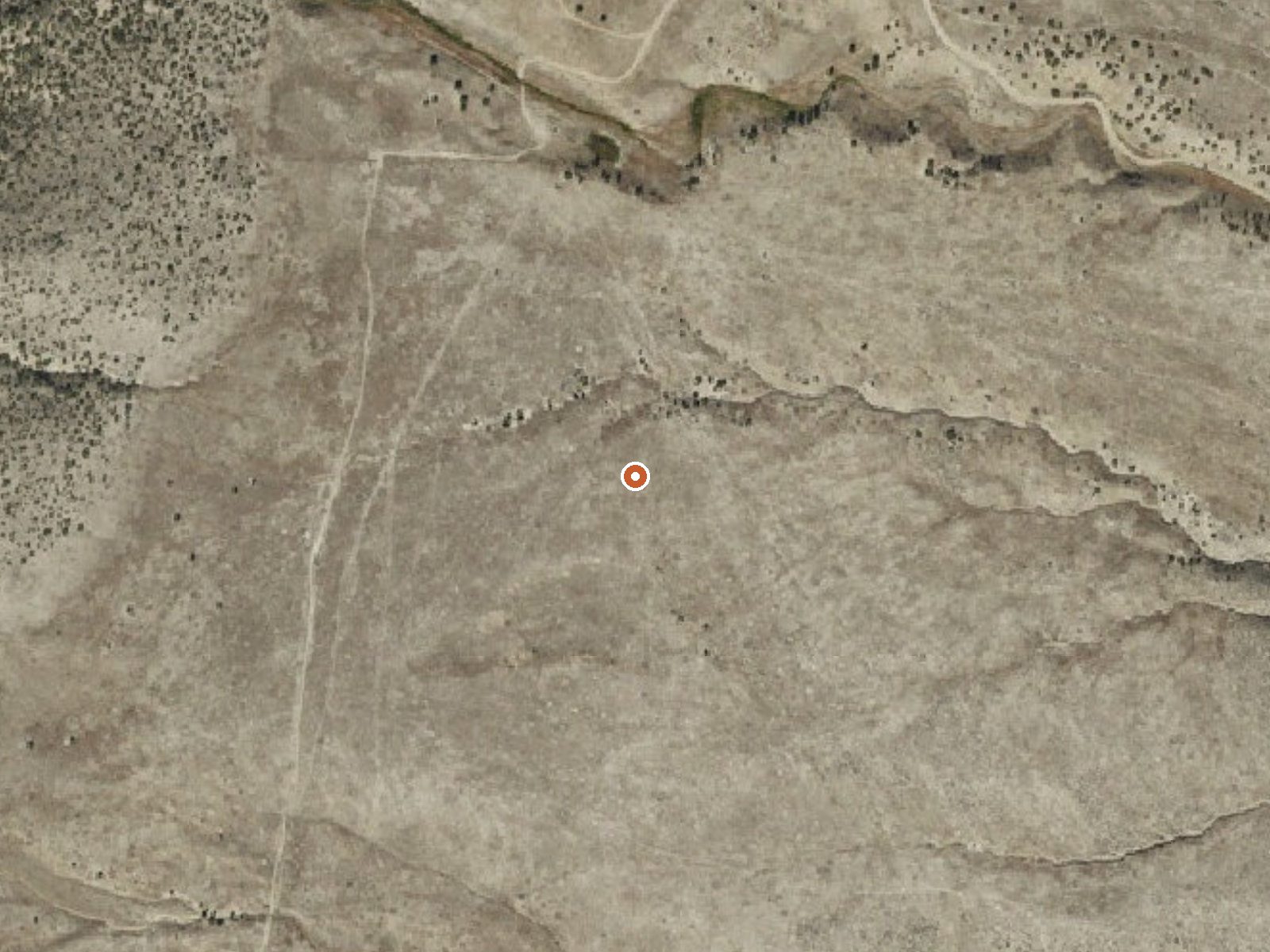
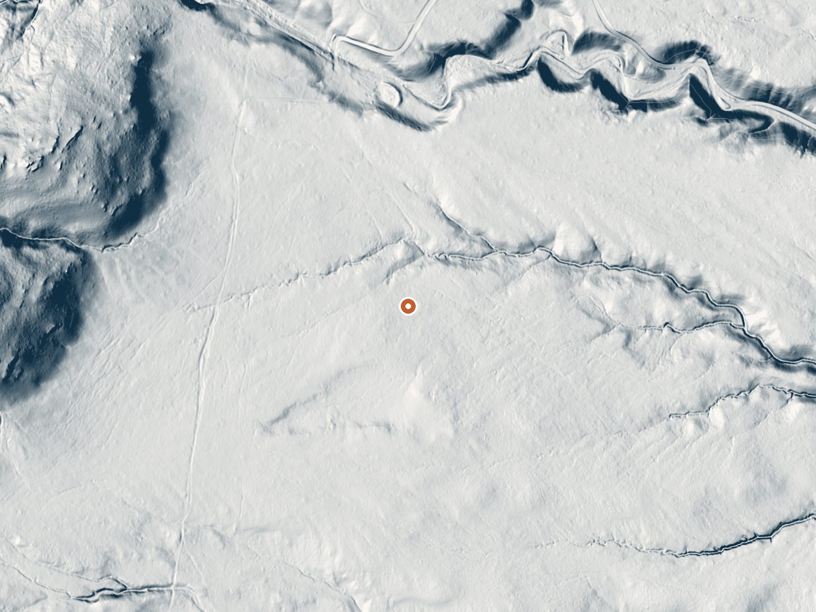
Drag the handle to compare the two views. The orange dot marks the spring, in a frame about three quarters of a mile wide.
- Setting
- Gentle slope
- The ground tilts gently up to the northwest.
- Highest ground nearby
- 69 ft above the spring
- Within a quarter mile, to the northwest
A slice through the ground from west to east, about 0.6 miles end to end.
Elevation data: USGS 3D Elevation Program. Aerial imagery: USGS The National Map. Public domain.
That's about 1½ times the US average of 65. It's higher than at 50% of the springs on this site.
Heat flow measures the warmth working its way up through the ground from deep inside the earth. Where it runs high, rain and snowmelt that seep down through cracks in the rock come back up hot.
See every spring on the geothermal heat map →
Heat flow estimate: Stanford Thermal Earth Model (Aljubran & Horne, 2024), CC BY 4.0.
Some links are affiliate links. We may earn a commission at no extra cost to you.
Overview Loop Campground is located southwest of Grantsville, Utah, in South Willow Canyon at an elevation of 7,400 feet. It’s located in the Stansbury Range where visitors enjoy exploring local trails. Recreation The multi-use Stansbury Front Trail and Medina Flat Trail begin across the road from the entrance, offering access to the rugged Deseret Peak Wilderness. Willow Creek offers rainbow and brown trout fishing. Facilities This campground has 9 single sites and 1 double site and has vaul...
Redlum Spring is road-accessible, so you can bring more gear.






As an Amazon Associate, we earn from qualifying purchases.