Unnamed Thermal Spring
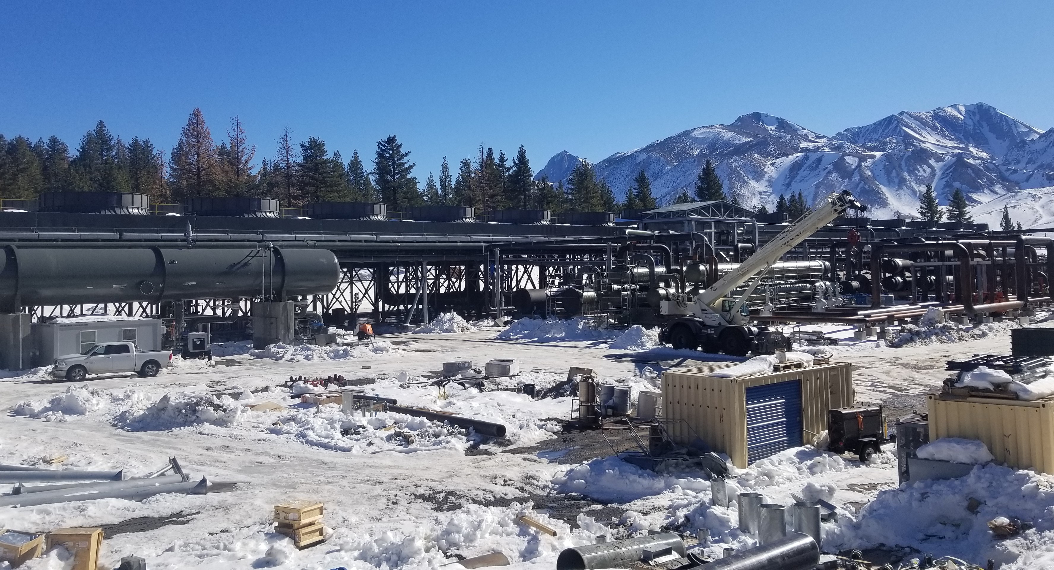
An unnamed thermal point about four miles from Mammoth Lakes, Mono County, on ground belonging to the Los Angeles water and power department, LADWP. The water reads 72 degrees, tepid, cooler than a summer swimming pool. El Camino Sierra runs right past it. Access is open. Decades ago the USGS sampled the chemistry here.
This is roadside in the plainest sense, about 150 feet from El Camino Sierra. The elevation is high, over seven thousand feet, and the record shows snowfall near eight feet in a typical winter on eighteen inches of precipitation. The landowner is the water utility of the city of Los Angeles.
Winter months top the list on file. Sherwin Creek campground is under two miles away. The chemistry shown dates to an old sample, with dissolved solids on the high side, so treat those figures as history. No fee is recorded and the land is open. At 72 degrees, this is wading water.
A USGS site number is attached to this point, and the October 1983 water sample behind it supplies the pH and mineral readings shown on this page. The landowner is LADWP, the Los Angeles water and power department.
Aircraft with laser scanners measured this ground to within inches. The scan strips out trees and buildings, leaving the bare shape of the land around this spring.
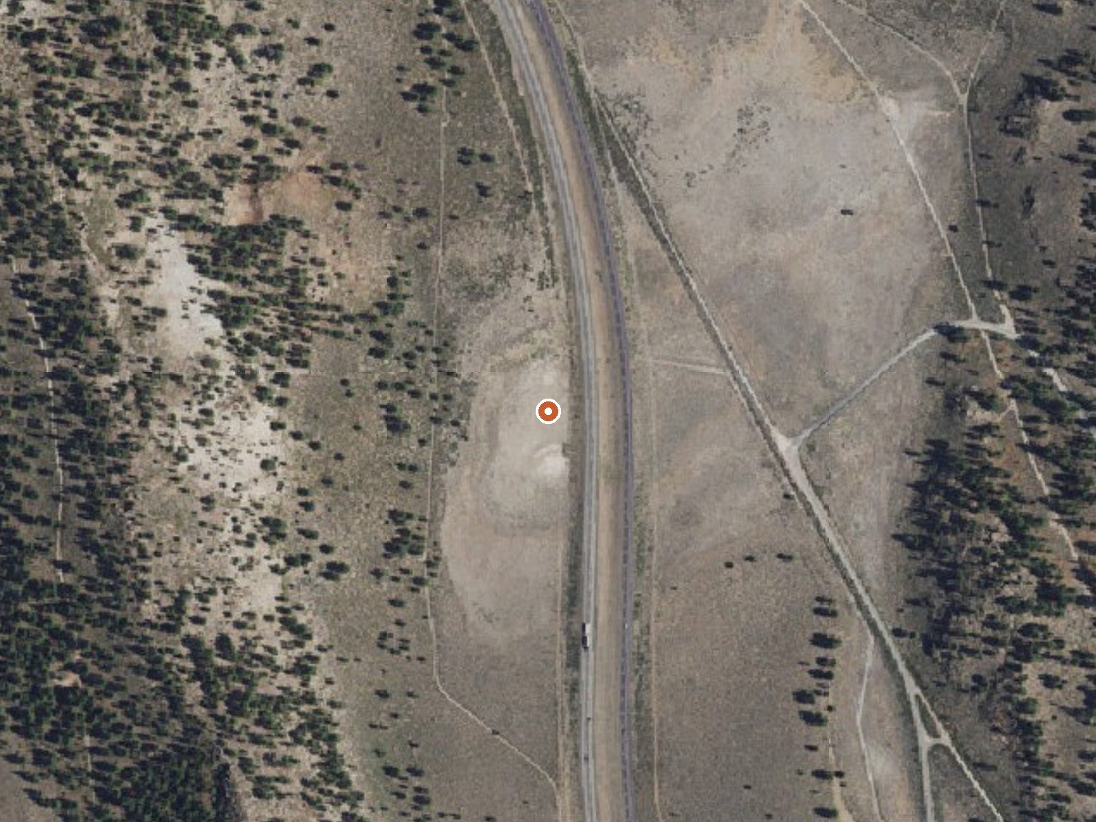
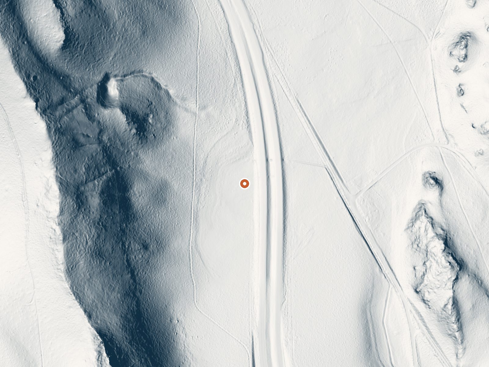
Drag the handle to compare the two views. The orange dot marks the spring, in a frame about three quarters of a mile wide.
- Setting
- Hillside
- The spring sits on a steep slope that climbs to the west.
- Highest ground nearby
- 375 ft above the spring
- Within a quarter mile, to the west
A slice through the ground from west to east, about 0.6 miles end to end.
Elevation data: USGS 3D Elevation Program. Aerial imagery: USGS The National Map. Public domain.
That's about twice the US average of 65. It's higher than at 89% of the springs on this site.
Heat flow measures the warmth working its way up through the ground from deep inside the earth. Where it runs high, rain and snowmelt that seep down through cracks in the rock come back up hot.
See every spring on the geothermal heat map →
Heat flow estimate: Stanford Thermal Earth Model (Aljubran & Horne, 2024), CC BY 4.0.
The water at This spring is slightly alkaline (pH 7.5) with 1100 mg/L total dissolved solids. It is notably rich in sodium (supports circulation and skin hydration), chloride (natural antiseptic with skin health benefits), and total dissolved solids (higher mineral concentration for therapeutic soaking).
Some links are affiliate links. We may earn a commission at no extra cost to you.
Overview Sherwin Creek Campground is located in the eastern Sierra Nevada Mountains within 2 miles of the full-service community of Mammoth Lakes, California. Popular among anglers, hikers, off-road vehicle enthusiasts and photographers, the campground is near some of the most spectacular wilderness and outdoor recreation areas in the Sierras.Recreation With a motocross track and trails, Sherwin Creek is a hot spot for off-road vehicle enthusiasts. The area's majestic scenery and challenging...
this spring sits at 7,313 feet above sea level, way above the mile-high mark. You may not feel the altitude strongly, but hot water still dehydrates you faster at elevation. UV is about 29% stronger than at sea level, so bring sunscreen and drink more water than you normally would.



As an Amazon Associate, we earn from qualifying purchases.
this spring is road-accessible, so you can bring more gear. Cold air temperatures make a changing robe or warm layers essential.






As an Amazon Associate, we earn from qualifying purchases.
Springs Near This Spring
More Springs Around 72°F
Slightly Alkaline Springs (pH ~7.5)
Hike 6 waterfalls near this spring
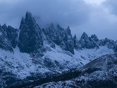
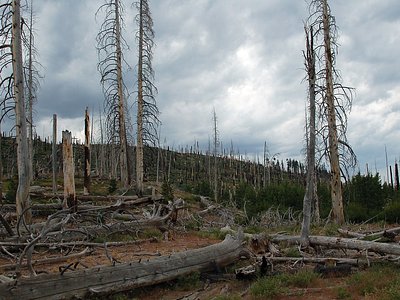
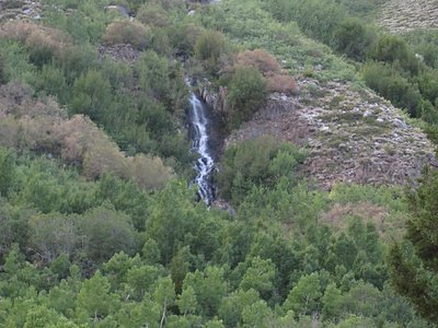
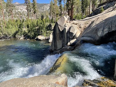
Looking for more outdoor adventures? Explore waterfall hikes near this spring, California.